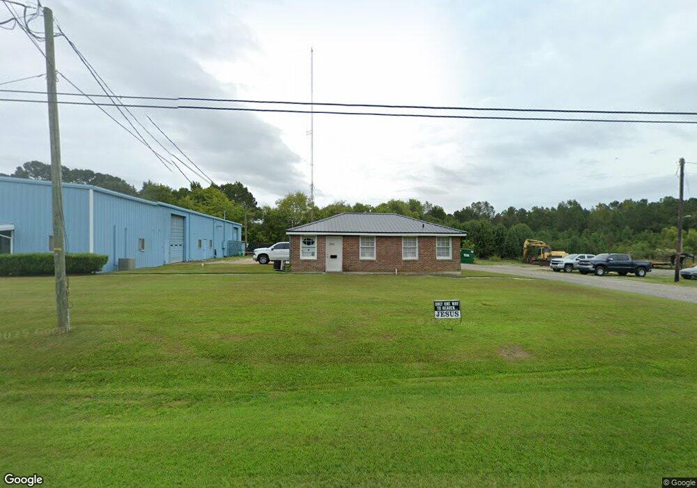
7582 Georgetown Hwy Unit HWY 521 Andrews, SC 29510
Estimated Value: $311,049
--
Bed
--
Bath
6,375
Sq Ft
$49/Sq Ft
Est. Value
About This Home
This home is located at 7582 Georgetown Hwy Unit HWY 521, Andrews, SC 29510 and is currently estimated at $311,049, approximately $48 per square foot. 7582 Georgetown Hwy Unit HWY 521 is a home located in Georgetown County with nearby schools including Andrews Elementary School, Rosemary Middle School, and Andrews High School.
Ownership History
Date
Name
Owned For
Owner Type
Purchase Details
Closed on
Oct 21, 2022
Sold by
Blakely Tim C
Bought by
Epictech Inc
Current Estimated Value
Home Financials for this Owner
Home Financials are based on the most recent Mortgage that was taken out on this home.
Original Mortgage
$412,500
Outstanding Balance
$258,711
Interest Rate
5.89%
Mortgage Type
New Conventional
Estimated Equity
$52,338
Purchase Details
Closed on
Apr 26, 2005
Sold by
Meadwestvaco Forestry Llc
Bought by
Blakely Tim C
Home Financials for this Owner
Home Financials are based on the most recent Mortgage that was taken out on this home.
Original Mortgage
$125,000
Interest Rate
5.98%
Mortgage Type
Commercial
Purchase Details
Closed on
Dec 30, 2002
Sold by
Westvaco Corp
Bought by
Meadwestvaco Forestry Llc
Create a Home Valuation Report for This Property
The Home Valuation Report is an in-depth analysis detailing your home's value as well as a comparison with similar homes in the area
Home Values in the Area
Average Home Value in this Area
Purchase History
| Date | Buyer | Sale Price | Title Company |
|---|---|---|---|
| Epictech Inc | $275,000 | -- | |
| Blakely Tim C | $125,000 | -- | |
| Meadwestvaco Forestry Llc | -- | -- |
Source: Public Records
Mortgage History
| Date | Status | Borrower | Loan Amount |
|---|---|---|---|
| Open | Epictech Inc | $412,500 | |
| Previous Owner | Blakely Tim C | $125,000 |
Source: Public Records
Tax History Compared to Growth
Tax History
| Year | Tax Paid | Tax Assessment Tax Assessment Total Assessment is a certain percentage of the fair market value that is determined by local assessors to be the total taxable value of land and additions on the property. | Land | Improvement |
|---|---|---|---|---|
| 2024 | $4,389 | $15,610 | $1,500 | $14,110 |
| 2023 | $4,389 | $15,610 | $1,500 | $14,110 |
| 2022 | $1,797 | $6,520 | $820 | $5,700 |
| 2021 | $1,749 | $0 | $0 | $0 |
| 2020 | $1,747 | $0 | $0 | $0 |
| 2019 | $1,743 | $0 | $0 | $0 |
| 2018 | $1,756 | $0 | $0 | $0 |
| 2017 | $1,486 | $0 | $0 | $0 |
| 2016 | $1,476 | $6,516 | $0 | $0 |
| 2015 | $1,779 | $0 | $0 | $0 |
| 2014 | $1,576 | $108,600 | $13,600 | $95,000 |
| 2012 | -- | $108,600 | $13,600 | $95,000 |
Source: Public Records
Map
Nearby Homes
- 33 Newton Trail
- 43 Newton Trail
- 73 Newton Trail
- 53 Newton Trail
- 23 Newton Trail
- 23 Newton Trail Unit 23, 33, 43, 53, 73 N
- 304 S Magnolia Ave
- 402 S Magnolia Ave
- 2 Lots - TBD S Rosemary Ave
- TBD S Rosemary Ave Unit lot 9
- TBD S Rosemary Ave Unit lot 8
- 5 S Rosemary Ave
- 8 Clair St
- 112 S Rosemary Ave
- 406 S Rosemary Ave
- 6 S Rosemary Ave
- 301 S Morgan Ave
- 213 N Magnolia Ave
- 128 Highway 521
- 105 E Cherry St
- 0 Georgetown Hwy
- 000 Georgetown Hwy
- 7662 Georgetown Hwy
- 2 North St
- 87 Olive St
- 3 S Olive St
- 4 N Olive St
- 15 S Olive St
- 45 Old Cemetery Rd
- 542 Old Cemetery Rd
- 7313 Georgetown Hwy
- 7313 Georgetown Hwy
- 9 N Olive St
- 11 N Olive St
- 8 N Tupelo St
- 13 N Olive St
- 10 N Tupelo St
- 501 Old Cemetery Rd
- 12 N Tupelo St
- 15 N Olive St