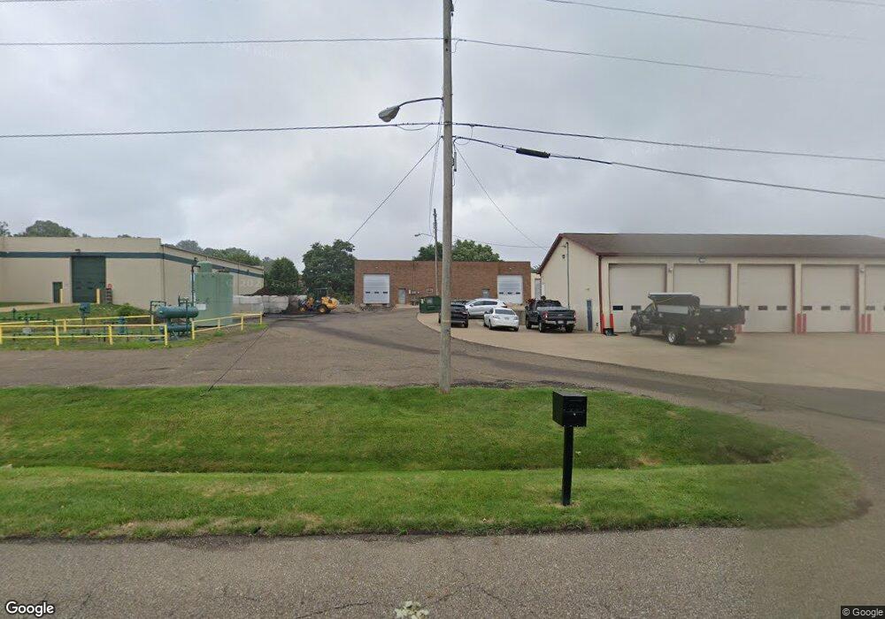
7584 Tim Ave NW North Canton, OH 44720
Estimated Value: $547,374
--
Bed
--
Bath
9,170
Sq Ft
$60/Sq Ft
Est. Value
About This Home
This home is located at 7584 Tim Ave NW, North Canton, OH 44720 and is currently estimated at $547,374, approximately $59 per square foot. 7584 Tim Ave NW is a home located in Stark County with nearby schools including Orchard Hill Intermediate School, North Canton Middle School, and Hoover High School.
Ownership History
Date
Name
Owned For
Owner Type
Purchase Details
Closed on
Sep 8, 2020
Sold by
Spi Properties Llc
Bought by
Mrm Property Group Llc
Current Estimated Value
Purchase Details
Closed on
Oct 28, 2016
Sold by
Chambers Timothy R
Bought by
Spi Properties Llc
Create a Home Valuation Report for This Property
The Home Valuation Report is an in-depth analysis detailing your home's value as well as a comparison with similar homes in the area
Home Values in the Area
Average Home Value in this Area
Purchase History
| Date | Buyer | Sale Price | Title Company |
|---|---|---|---|
| Mrm Property Group Llc | $375,000 | None Available | |
| Spi Properties Llc | $341,000 | First Security Title Corpora |
Source: Public Records
Tax History Compared to Growth
Tax History
| Year | Tax Paid | Tax Assessment Tax Assessment Total Assessment is a certain percentage of the fair market value that is determined by local assessors to be the total taxable value of land and additions on the property. | Land | Improvement |
|---|---|---|---|---|
| 2025 | -- | $212,000 | $125,550 | $86,450 |
| 2024 | -- | $212,000 | $125,550 | $86,450 |
| 2023 | $7,655 | $131,250 | $71,680 | $59,570 |
| 2022 | $7,646 | $131,250 | $71,680 | $59,570 |
| 2021 | $7,614 | $131,250 | $71,680 | $59,570 |
| 2020 | $7,994 | $131,250 | $71,680 | $59,570 |
| 2019 | $10,689 | $179,040 | $71,680 | $107,360 |
| 2018 | $10,761 | $179,040 | $71,680 | $107,360 |
| 2017 | $9,545 | $144,680 | $43,720 | $100,960 |
| 2016 | $11,255 | $171,800 | $43,720 | $128,080 |
| 2015 | $11,950 | $171,800 | $43,720 | $128,080 |
| 2014 | $1,824 | $171,770 | $43,720 | $128,050 |
| 2013 | $5,859 | $171,770 | $43,720 | $128,050 |
Source: Public Records
Map
Nearby Homes
- 1482 Democracy Dr NW
- 1015 Lois Ave NW
- 5948 Shuffel St NW
- 1263 Los Angeles Blvd NW
- 3858 Cranwood St NW
- 608 Werstler Ave NW
- 1171 Terrace Rd NW
- 404 7th St NW
- 742 Portage St NW
- 1222 W Maple St Unit 6A
- 0 W Maple St Unit 5135089
- 1246 W Maple St Unit 4A
- 1236 W Maple St
- 455 Royer Ave NW
- 624 Portage St NW
- 1350 Overland Ave NE
- 1060 Park Ave NE
- 140 5th St NE
- 8013 Amberly Cir NW
- 727 Lorena St SW
- 1311 Pittsburg Ave NW
- 3947 Ronelle Cir NW
- 3973 Strausser St NW
- 7439 Pittsburg Ave NW
- 4013 Strausser St NW
- 4 Strausser St NW
- 7471 Pittsburg Ave NW
- 1434 Pittsburg Ave NW
- 1316 Pittsburg Ave NW
- 1120 Applegrove St NW
- 7492 Pittsburg Ave NW
- 1218 Pittsburg Ave NW
- 1065 Liberty Ln NW
- 7501 Pittsburg Ave NW
- 1053 Liberty Ln NW
- 99999 Pittsburg Ave NW
- 9999 Pittsburg Ave NW
- 1206 Pittsburg Ave NW
- 1043 Liberty Ln NW
- 1331 Janet Ave NW