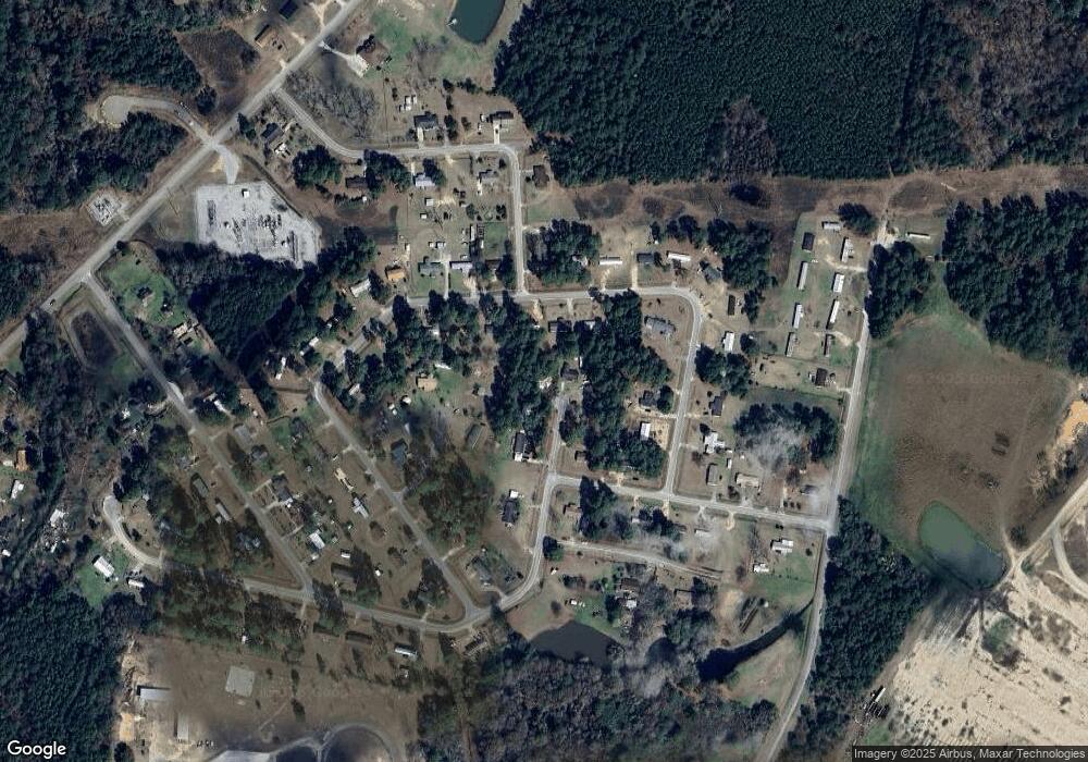
759 Michael St Metter, GA 30439
Estimated Value: $116,480 - $185,000
3
Beds
2
Baths
1,200
Sq Ft
$114/Sq Ft
Est. Value
About This Home
This home is located at 759 Michael St, Metter, GA 30439 and is currently estimated at $137,120, approximately $114 per square foot. 759 Michael St is a home located in Candler County with nearby schools including Metter Elementary School, Metter Intermediate School, and Metter Middle School.
Ownership History
Date
Name
Owned For
Owner Type
Purchase Details
Closed on
Aug 16, 2018
Sold by
Wilson Gary
Bought by
Dlrs Choice Enterprises Llc
Current Estimated Value
Purchase Details
Closed on
Jan 1, 2011
Sold by
Wilson Gary N
Bought by
Appraisal
Purchase Details
Closed on
Jun 13, 2003
Sold by
Citifinancial Services Inc
Bought by
Wilson Gary N
Purchase Details
Closed on
Sep 3, 2002
Sold by
Baldon Barbara Perry
Bought by
Citifinancial Services Inc
Purchase Details
Closed on
Aug 26, 2000
Sold by
Perry Ruben and Perry Barbara
Bought by
Baldon Barbara Perry
Purchase Details
Closed on
Jun 1, 1990
Bought by
Perry Ruben and Perry Barba
Create a Home Valuation Report for This Property
The Home Valuation Report is an in-depth analysis detailing your home's value as well as a comparison with similar homes in the area
Home Values in the Area
Average Home Value in this Area
Purchase History
| Date | Buyer | Sale Price | Title Company |
|---|---|---|---|
| Dlrs Choice Enterprises Llc | -- | -- | |
| Appraisal | $31,500 | -- | |
| Wilson Gary N | $12,500 | -- | |
| Citifinancial Services Inc | $35,800 | -- | |
| Baldon Barbara Perry | -- | -- | |
| Perry Ruben | $32,800 | -- |
Source: Public Records
Tax History Compared to Growth
Tax History
| Year | Tax Paid | Tax Assessment Tax Assessment Total Assessment is a certain percentage of the fair market value that is determined by local assessors to be the total taxable value of land and additions on the property. | Land | Improvement |
|---|---|---|---|---|
| 2024 | $789 | $14,506 | $2,560 | $11,946 |
| 2023 | $789 | $15,358 | $2,560 | $12,798 |
| 2022 | $716 | $12,724 | $2,560 | $10,164 |
| 2021 | $633 | $11,086 | $2,560 | $8,526 |
| 2020 | $634 | $11,086 | $2,560 | $8,526 |
| 2019 | $637 | $11,086 | $2,560 | $8,526 |
| 2018 | $229 | $5,754 | $1,120 | $4,634 |
| 2017 | $296 | $8,831 | $2,800 | $6,031 |
| 2016 | $626 | $10,037 | $2,800 | $7,237 |
| 2015 | $506 | $10,163 | $2,800 | $7,364 |
| 2014 | $506 | $11,391 | $2,800 | $8,591 |
Source: Public Records
Map
Nearby Homes
- 245 N Terrell St
- 40 Hickory St
- 250 S Lewis St
- 295 S Lewis St
- 365 S Leroy St
- 405 S Leroy St
- 465 Cedar St
- 450 S Rountree St
- 150 W Willow Lake Dr
- 550 S Rountree St
- 405 Preston St
- 0 Central Ave Unit 10628403
- 1449 Hulsey Dr
- 4515 Harper Rd
- 0 Oak Tree Rd Unit (31.62 AC) 10490874
- 286 Webb Cir
- 0 Indigo Rd Unit 10425491
- 743 Ann's Ln
- 21670 Salem Church Rd
- 2820 Southern Manor Rd
- 710 Russell Ln
- 798 Michael St
- 792 Michael St
- 788 Michael St
- 805 Hodges St
- 706 Russell Ln
- 786 Ronnie St
- 790 Ronnie St
- 720 Ronnie St
- 765 Ronnie St
- 0 Ronnie St
- 815 Scott St
- 638 Maxie Cir
- 737 Ronnie St
- 0 Maxie Cir Unit 3289551
- 0 Maxie Cir Unit 3236558
- 634 Maxsie Cir
- 628 Maxie Cir
- 715 Ronnie St
- 721 Ronnie St
