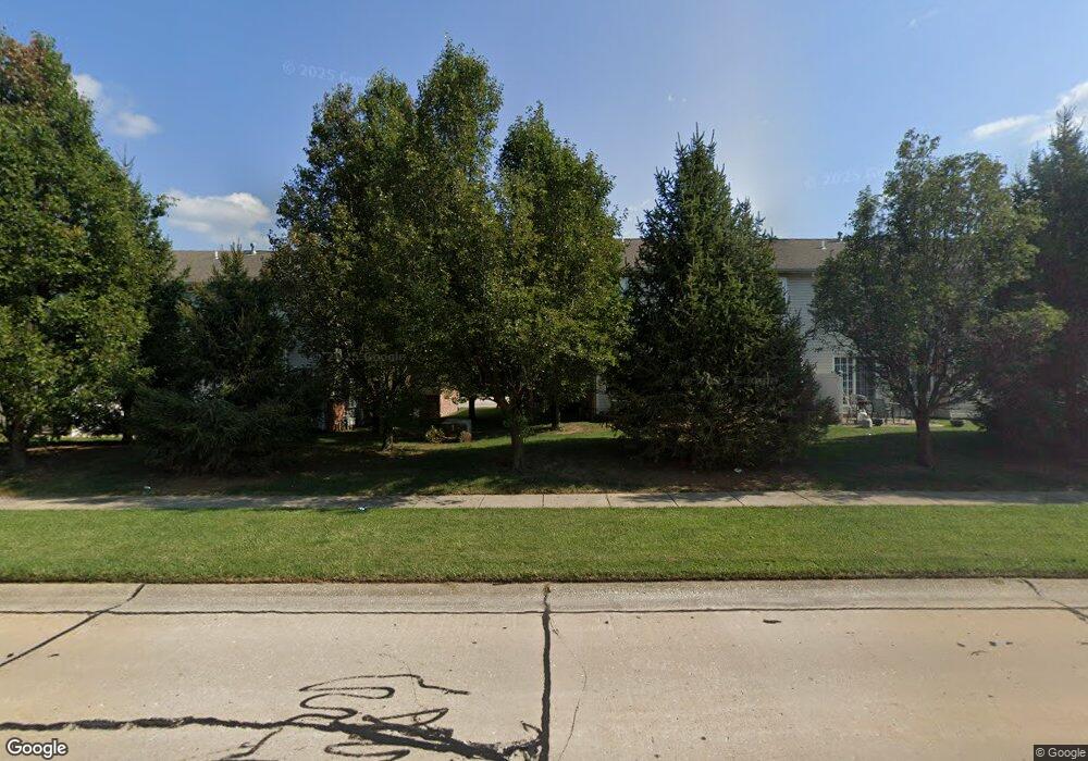
759 Michael St Unit 62 O Fallon, IL 62269
Estimated Value: $212,533 - $242,000
3
Beds
4
Baths
1,535
Sq Ft
$151/Sq Ft
Est. Value
About This Home
This home is located at 759 Michael St Unit 62, O Fallon, IL 62269 and is currently estimated at $231,133, approximately $150 per square foot. 759 Michael St Unit 62 is a home located in St. Clair County with nearby schools including Evans Elementary School, Carriel Junior High School, and O'Fallon Township High School.
Ownership History
Date
Name
Owned For
Owner Type
Purchase Details
Closed on
Nov 27, 2009
Sold by
Sebesta Glenn W and Sebesta Kimberly A
Bought by
Jackson Joseph C
Current Estimated Value
Purchase Details
Closed on
Apr 12, 2008
Sold by
Sebesta Glenn W and Sebesta Sue
Bought by
Sebesta Glenn W
Home Financials for this Owner
Home Financials are based on the most recent Mortgage that was taken out on this home.
Original Mortgage
$26,000
Interest Rate
5.88%
Mortgage Type
Stand Alone Second
Purchase Details
Closed on
Sep 30, 2005
Sold by
H & L Builders Llc
Bought by
Sebesta Glenn W
Home Financials for this Owner
Home Financials are based on the most recent Mortgage that was taken out on this home.
Original Mortgage
$166,932
Interest Rate
5.93%
Mortgage Type
VA
Create a Home Valuation Report for This Property
The Home Valuation Report is an in-depth analysis detailing your home's value as well as a comparison with similar homes in the area
Home Values in the Area
Average Home Value in this Area
Purchase History
| Date | Buyer | Sale Price | Title Company |
|---|---|---|---|
| Jackson Joseph C | $152,000 | Fatic | |
| Sebesta Glenn W | -- | First American Title Ins | |
| Sebesta Glenn W | $162,000 | Town & Country Title Co |
Source: Public Records
Mortgage History
| Date | Status | Borrower | Loan Amount |
|---|---|---|---|
| Previous Owner | Sebesta Glenn W | $26,000 | |
| Previous Owner | Sebesta Glenn W | $166,932 |
Source: Public Records
Tax History
| Year | Tax Paid | Tax Assessment Tax Assessment Total Assessment is a certain percentage of the fair market value that is determined by local assessors to be the total taxable value of land and additions on the property. | Land | Improvement |
|---|---|---|---|---|
| 2024 | $3,660 | $50,111 | $1,593 | $48,518 |
| 2023 | $3,376 | $44,476 | $1,414 | $43,062 |
| 2022 | $3,194 | $40,890 | $1,300 | $39,590 |
| 2021 | $3,662 | $46,022 | $1,565 | $44,457 |
| 2020 | $3,638 | $43,564 | $1,481 | $42,083 |
| 2019 | $3,560 | $43,564 | $1,481 | $42,083 |
| 2018 | $3,469 | $42,299 | $1,438 | $40,861 |
| 2017 | $2,312 | $33,128 | $1,256 | $31,872 |
| 2016 | $2,301 | $32,355 | $1,227 | $31,128 |
| 2014 | $2,115 | $31,981 | $1,213 | $30,768 |
| 2013 | $2,738 | $37,347 | $1,284 | $36,063 |
Source: Public Records
Map
Nearby Homes
- 747 Michael St Unit 66
- 756 Erika St Unit 49
- 764 Granite Dr
- 519 Joy Dr
- 411 Donna Dr
- 121 S Lawn Ave
- 507 W 4th St
- 421 W Highway 50
- 119 Douglas St
- 113 S Lawn Ave
- 106 Sunnyside St
- 425 W 3rd St
- 262 Eagle Ridge
- 309 W Highway 50
- 415 W 3rd St
- 302 Eagle Ridge
- 418 W 3rd St
- 244 Eagle Ridge
- 215 Eagle Ridge Unit 215
- 530 W State St
- 743 Michael St Unit 68
- 745 Michael St Unit 67
- 761 Michael St Unit 61
- 742 Erika St Unit 45
- 746 Michael St Unit 6
- 744 Erika St Unit 46
- 772 Michael St Unit 15
- 774 Michael St Unit 16
- 748 Michael St Unit 7
- 770 Michael St Unit 14
- 755 Michael St Unit 64
- 768 Michael St Unit 13
- 758 Erika St Unit 50
- 748 Erika St Unit 48
- 746 Erika St Unit 47
- 766 Michael St Unit 12
- 764 Michael St Unit 11
- 732 Michael St Unit 3
- 760 Erika St Unit 51
- 741 Erika St
Your Personal Tour Guide
Ask me questions while you tour the home.