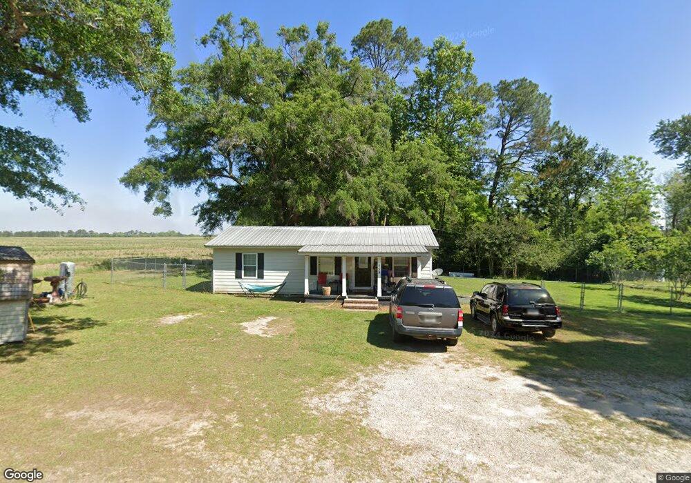
759 York Rd Sylvester, GA 31791
Estimated Value: $82,452 - $160,000
2
Beds
1
Bath
800
Sq Ft
$140/Sq Ft
Est. Value
About This Home
This home is located at 759 York Rd, Sylvester, GA 31791 and is currently estimated at $112,113, approximately $140 per square foot. 759 York Rd is a home located in Worth County with nearby schools including Worth County Primary School, Worth County Elementary School, and Worth County Middle School.
Ownership History
Date
Name
Owned For
Owner Type
Purchase Details
Closed on
Mar 17, 2011
Sold by
Folsom Alicia Kaye
Bought by
Childers Michael Adell
Current Estimated Value
Purchase Details
Closed on
Feb 11, 2011
Sold by
Childers Michael Adell
Bought by
Folsom Alicia Kaye
Purchase Details
Closed on
Mar 11, 2002
Bought by
Childers Michael A
Purchase Details
Closed on
May 30, 1995
Sold by
Maynard L P
Bought by
Adkins Lucius W and Adkins Jill
Create a Home Valuation Report for This Property
The Home Valuation Report is an in-depth analysis detailing your home's value as well as a comparison with similar homes in the area
Home Values in the Area
Average Home Value in this Area
Purchase History
| Date | Buyer | Sale Price | Title Company |
|---|---|---|---|
| Childers Michael Adell | -- | -- | |
| Folsom Alicia Kaye | -- | -- | |
| Childers Michael A | $22,500 | -- | |
| Adkins Lucius W | $80,800 | -- |
Source: Public Records
Tax History Compared to Growth
Tax History
| Year | Tax Paid | Tax Assessment Tax Assessment Total Assessment is a certain percentage of the fair market value that is determined by local assessors to be the total taxable value of land and additions on the property. | Land | Improvement |
|---|---|---|---|---|
| 2024 | $609 | $12,083 | $3,320 | $8,763 |
| 2023 | $609 | $11,947 | $3,320 | $8,627 |
| 2022 | $605 | $11,947 | $3,320 | $8,627 |
| 2021 | $582 | $11,947 | $3,320 | $8,627 |
| 2020 | $582 | $11,947 | $3,320 | $8,627 |
| 2019 | $582 | $11,947 | $3,320 | $8,627 |
| 2018 | $342 | $11,947 | $3,320 | $8,627 |
| 2017 | $342 | $11,947 | $3,320 | $8,627 |
| 2016 | $342 | $11,947 | $3,320 | $8,627 |
| 2015 | $343 | $11,947 | $3,320 | $8,627 |
| 2014 | $287 | $11,947 | $3,320 | $8,627 |
| 2013 | -- | $10,951 | $2,324 | $8,627 |
| 2012 | -- | $10,950 | $2,324 | $8,626 |
Source: Public Records
Map
Nearby Homes
- 702 New Bethel Church Rd
- 710 S Jefferson St
- 914 Douthit Rd
- Lots 4&5 S Monroe St
- 000 S Jefferson St
- 000 S Jefferson St
- 602 S Livingston St
- 2329 Evergreen Rd
- 201 Worthwood Rd
- 302 Sadler St
- 314 E Hobson St
- 307 E Hobson St
- 107 Gardner Rd
- 103 N Ayers St
- 203 W Pope St
- 101 Pecan St
- 19X Largemouth Dr
- 000 Georgia 256
- 307 E Pope St
- 101 N McPhaul St
- 763 York Rd
- 264 Nutt Rd
- 742 York Rd
- 252 Nutt Rd
- 803 York Rd
- 240 Nutt Rd
- 228 Nutt Rd
- 201 Nutt Rd
- 702 York Rd
- 2707 Ga Highway 112 S
- 2119 Massey Airport Rd
- 106 Lambert Ln
- 2149 Massey Airport Rd
- 2155 Massey Airport Rd
- 111 Lambert Ln
- 137 Lambert Ln
- 932 York Rd
- 0 Lambert Ln
- 2525 Us Highway 82 W
- 940 York Rd