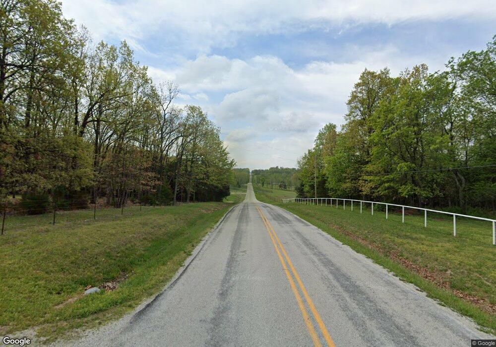
7595 N State Highway Hh Willard, MO 65781
Estimated Value: $384,000 - $504,866
3
Beds
3
Baths
2,948
Sq Ft
$146/Sq Ft
Est. Value
About This Home
This home is located at 7595 N State Highway Hh, Willard, MO 65781 and is currently estimated at $430,955, approximately $146 per square foot. 7595 N State Highway Hh is a home located in Greene County with nearby schools including Willard East Elementary School, Willard Intermediate School North, and Willard High School.
Ownership History
Date
Name
Owned For
Owner Type
Purchase Details
Closed on
Aug 19, 2025
Sold by
Living Trust Agreement Of Ella Sue Murra and Murray Gordon
Bought by
Murray Max L and Murray Julie Anne
Current Estimated Value
Purchase Details
Closed on
May 29, 2024
Sold by
Living Trust Agreement Of Ella Sue Murra and Murray Gordon
Bought by
Murray Jacob K and Murray Kalani
Purchase Details
Closed on
Aug 30, 2021
Sold by
Living Trust Agreement Of Ella Sue Murra and Murray Ella Sue
Bought by
Murray Ella Sue
Create a Home Valuation Report for This Property
The Home Valuation Report is an in-depth analysis detailing your home's value as well as a comparison with similar homes in the area
Home Values in the Area
Average Home Value in this Area
Purchase History
| Date | Buyer | Sale Price | Title Company |
|---|---|---|---|
| Murray Max L | -- | None Listed On Document | |
| Murray Jacob K | -- | None Listed On Document | |
| Murray Ella Sue | -- | None Listed On Document |
Source: Public Records
Tax History Compared to Growth
Tax History
| Year | Tax Paid | Tax Assessment Tax Assessment Total Assessment is a certain percentage of the fair market value that is determined by local assessors to be the total taxable value of land and additions on the property. | Land | Improvement |
|---|---|---|---|---|
| 2025 | $3,408 | $66,670 | $9,500 | $57,170 |
| 2024 | $3,408 | $59,240 | $5,700 | $53,540 |
| 2023 | $3,396 | $59,240 | $5,700 | $53,540 |
| 2022 | $2,934 | $52,440 | $5,700 | $46,740 |
| 2021 | $2,933 | $52,440 | $5,700 | $46,740 |
| 2020 | $2,589 | $45,470 | $5,700 | $39,770 |
| 2019 | $2,574 | $45,470 | $5,700 | $39,770 |
| 2018 | $2,407 | $42,050 | $5,700 | $36,350 |
| 2017 | $2,387 | $42,010 | $5,700 | $36,310 |
| 2016 | $2,373 | $42,010 | $5,700 | $36,310 |
| 2015 | $2,355 | $42,010 | $5,700 | $36,310 |
| 2014 | $2,460 | $43,530 | $5,700 | $37,830 |
Source: Public Records
Map
Nearby Homes
- 4310 W Farm Road 54
- 4244 W Farm Road 68
- 7181 N Farm Road 105
- 3542 W Farm Road 60
- 403 E Wright St
- 000 W Farm Road 68
- 7208 N Farm Road 133
- 3259 W Farm Road 60
- 6054 N Farm Road 129
- 5275 W Farm Road 82
- 4914 W Farm Road 82
- Tract 3 W Farm Road 36
- 2749 W Farm Road 56
- 000 W Pinewood Dr
- 6276 N Alan Ave
- 6227 Alan Ave
- 99 Kime St
- 209 Sparrow Ln
- 105 Deer Run
- 307 Wren Rd
- 7586 N State Highway Hh
- 7580 State Highway Hh
- 7576 N State Highway Hh
- 7709 N State Highway Hh
- 7721 N State Highway Hh
- 7599 N State Highway Hh
- 7493 N State Highway Hh
- 795 Bent Tree Ave
- 798 Bent Tree Ave
- 796 Bent Tree Ave
- 792 Bent Tree Ave
- 788 Bent Tree Ave
- 786 Bent Tree Ave
- 780 Bent Tree Ave
- 794 Bent Tree Ave
- 781 Bent Tree Ave
- 7563 N Farm Road 119
- 7649 N Farm Road 119
- 7882 N State Highway Hh
- 7882 N State Highway Hh
