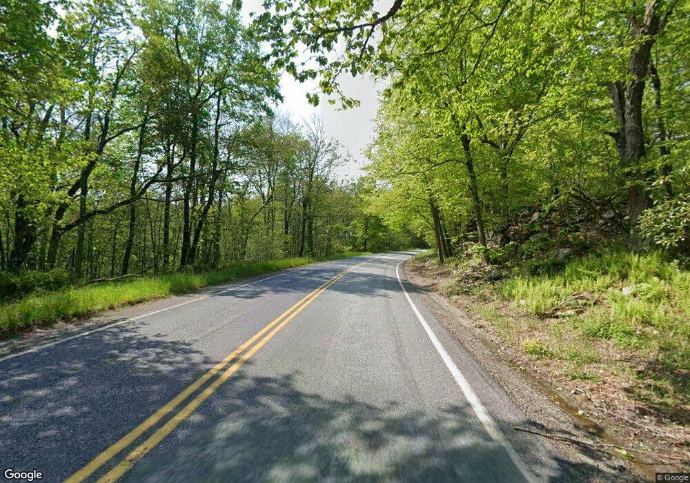
7597 Route 191 Cresco, PA 18326
Estimated Value: $378,000 - $676,000
3
Beds
3
Baths
2,655
Sq Ft
$188/Sq Ft
Est. Value
About This Home
This home is located at 7597 Route 191, Cresco, PA 18326 and is currently estimated at $499,665, approximately $188 per square foot. 7597 Route 191 is a home located in Monroe County with nearby schools including Swiftwater Interm School, Swiftwater Elementary Center, and Pocono Mountain East Junior High School.
Ownership History
Date
Name
Owned For
Owner Type
Purchase Details
Closed on
Feb 26, 2021
Sold by
Farino Thomas Mary A
Bought by
Odonnell Christine M and Tursi Michael David
Current Estimated Value
Home Financials for this Owner
Home Financials are based on the most recent Mortgage that was taken out on this home.
Original Mortgage
$320,000
Outstanding Balance
$286,857
Interest Rate
2.7%
Mortgage Type
New Conventional
Estimated Equity
$212,808
Purchase Details
Closed on
Aug 7, 2019
Sold by
Malcervelli Gregorio
Bought by
Ramos Julie and Balla Ernst
Purchase Details
Closed on
Dec 7, 2015
Sold by
Malcervelli Gregorio
Bought by
Malcervelli Gregorio
Purchase Details
Closed on
Aug 3, 1999
Bought by
Malcervelli Gregorio and Malcervelli Clara
Create a Home Valuation Report for This Property
The Home Valuation Report is an in-depth analysis detailing your home's value as well as a comparison with similar homes in the area
Home Values in the Area
Average Home Value in this Area
Purchase History
| Date | Buyer | Sale Price | Title Company |
|---|---|---|---|
| Odonnell Christine M | $595,000 | First Choice Abstract Inc | |
| Ramos Julie | -- | None Available | |
| Malcervelli Gregorio | -- | Attorney | |
| Malcervelli Gregorio | $220,000 | -- |
Source: Public Records
Mortgage History
| Date | Status | Borrower | Loan Amount |
|---|---|---|---|
| Open | Odonnell Christine M | $320,000 |
Source: Public Records
Tax History Compared to Growth
Tax History
| Year | Tax Paid | Tax Assessment Tax Assessment Total Assessment is a certain percentage of the fair market value that is determined by local assessors to be the total taxable value of land and additions on the property. | Land | Improvement |
|---|---|---|---|---|
| 2025 | $1,770 | $219,260 | $42,740 | $176,520 |
| 2024 | $1,441 | $219,260 | $42,740 | $176,520 |
| 2023 | $5,738 | $219,260 | $42,740 | $176,520 |
| 2022 | $5,641 | $219,260 | $42,740 | $176,520 |
| 2021 | $5,641 | $219,260 | $42,740 | $176,520 |
| 2019 | $6,660 | $37,670 | $3,460 | $34,210 |
| 2018 | $6,660 | $37,670 | $3,460 | $34,210 |
| 2017 | $6,735 | $37,670 | $3,460 | $34,210 |
| 2016 | $1,563 | $37,670 | $3,460 | $34,210 |
| 2015 | -- | $37,670 | $3,460 | $34,210 |
| 2014 | -- | $37,670 | $3,460 | $34,210 |
Source: Public Records
Map
Nearby Homes
- 0 Creekside Rd
- 2181 Oak Hill Dr
- 2169 Oak Hill Dr
- 2167 Oak Hill Dr
- 2161 Oak Hill Dr
- 1293 Winding Way
- 479 Golf Dr
- 127 Timber Lake Dr
- 1918 Horseshoe Bend
- 1259 Winding Way
- 606 Buck Cir
- 5126 Beatty Cir
- 122 Treetop Trail
- 664 Griscom Rd
- 1119 Knollwood Dr
- 1117 Knollwood Dr
- 1789 Rolling Hills Dr
- 101 Cherry Point Cir
- 277 Winding Way 277 Way
- 1769 Rolling Hills Dr
