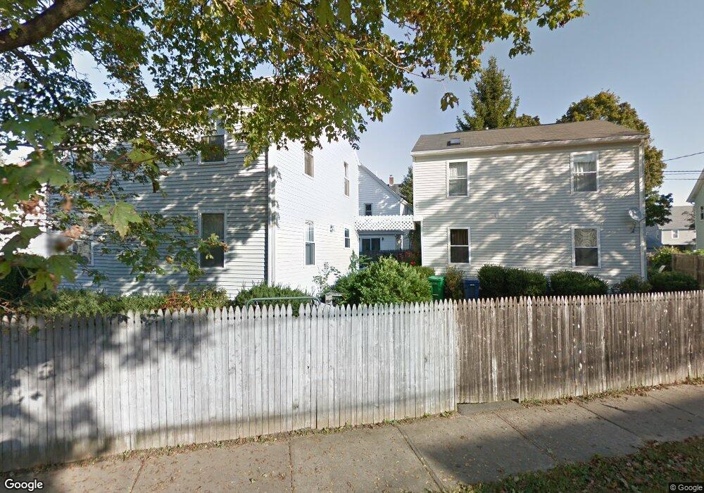
76 Allison St Unit 76, 1 Newton, MA 02458
Nonantum NeighborhoodEstimated Value: $941,000 - $1,115,000
3
Beds
2
Baths
1,378
Sq Ft
$733/Sq Ft
Est. Value
About This Home
This home is located at 76 Allison St Unit 76, 1, Newton, MA 02458 and is currently estimated at $1,010,152, approximately $733 per square foot. 76 Allison St Unit 76, 1 is a home located in Middlesex County with nearby schools including Lincoln-Eliot Elementary School, Bigelow Middle School, and Newton North High School.
Ownership History
Date
Name
Owned For
Owner Type
Purchase Details
Closed on
Dec 28, 1999
Sold by
Lanciloti Cynthia A
Bought by
Maydman Rita and Maydman Boris
Current Estimated Value
Home Financials for this Owner
Home Financials are based on the most recent Mortgage that was taken out on this home.
Original Mortgage
$219,000
Outstanding Balance
$66,143
Interest Rate
7.61%
Mortgage Type
Purchase Money Mortgage
Estimated Equity
$944,009
Create a Home Valuation Report for This Property
The Home Valuation Report is an in-depth analysis detailing your home's value as well as a comparison with similar homes in the area
Home Values in the Area
Average Home Value in this Area
Purchase History
| Date | Buyer | Sale Price | Title Company |
|---|---|---|---|
| Maydman Rita | $319,000 | -- |
Source: Public Records
Mortgage History
| Date | Status | Borrower | Loan Amount |
|---|---|---|---|
| Open | Maydman Rita | $219,000 | |
| Previous Owner | Maydman Rita | $45,000 |
Source: Public Records
Tax History Compared to Growth
Tax History
| Year | Tax Paid | Tax Assessment Tax Assessment Total Assessment is a certain percentage of the fair market value that is determined by local assessors to be the total taxable value of land and additions on the property. | Land | Improvement |
|---|---|---|---|---|
| 2025 | $7,700 | $785,700 | $0 | $785,700 |
| 2024 | $7,445 | $762,800 | $0 | $762,800 |
| 2023 | $7,203 | $707,600 | $0 | $707,600 |
| 2022 | $7,089 | $673,900 | $0 | $673,900 |
| 2021 | $7,315 | $679,800 | $0 | $679,800 |
| 2020 | $0 | $679,800 | $0 | $679,800 |
| 2019 | $0 | $660,000 | $0 | $660,000 |
| 2018 | $0 | $635,800 | $0 | $635,800 |
| 2017 | $6,670 | $599,800 | $0 | $599,800 |
| 2016 | $6,380 | $560,600 | $0 | $560,600 |
| 2015 | $6,199 | $533,900 | $0 | $533,900 |
Source: Public Records
Map
Nearby Homes
- 68 Los Angeles St Unit PH5
- 44 Faxon St Unit 2
- 290 Watertown St Unit 3
- 141 Morse St
- 290 Pleasant St Unit 220
- 290 Pleasant St Unit 113
- 105 Watertown St
- 64 California St Unit 64
- 77 Pond Ave Unit 1103
- 34 West St Unit A
- 99 Pleasant St Unit 2-1
- 53 West St
- 32 Bacon St
- 86 West St
- 158 Adams St
- 188-190 Adams St
- 7 French St
- 27 Oakland St
- 15-17 Jewett Place Unit 2
- 15 Jewett Place Unit C
- 76 Allison St
- 78 Allison St
- 70 Allison St
- 70 Allison St Unit 1
- 70 Allison St Unit 2
- 70 Allison St
- 72 Allison St
- 72 Allison St Unit 1
- 72 Allison St Unit 2
- 81 Allison St Unit 85
- 100 Los Angeles St
- 81 Los Angeles St Unit 83
- 66 Allison St
- 66 Allison St Unit 2
- 71 Allison St Unit 73
- 94 Los Angeles St
- 88A Allison St Unit 88
- 88A Allison St Unit 1
- 88B Allison St Unit 2
- 88 Allison St