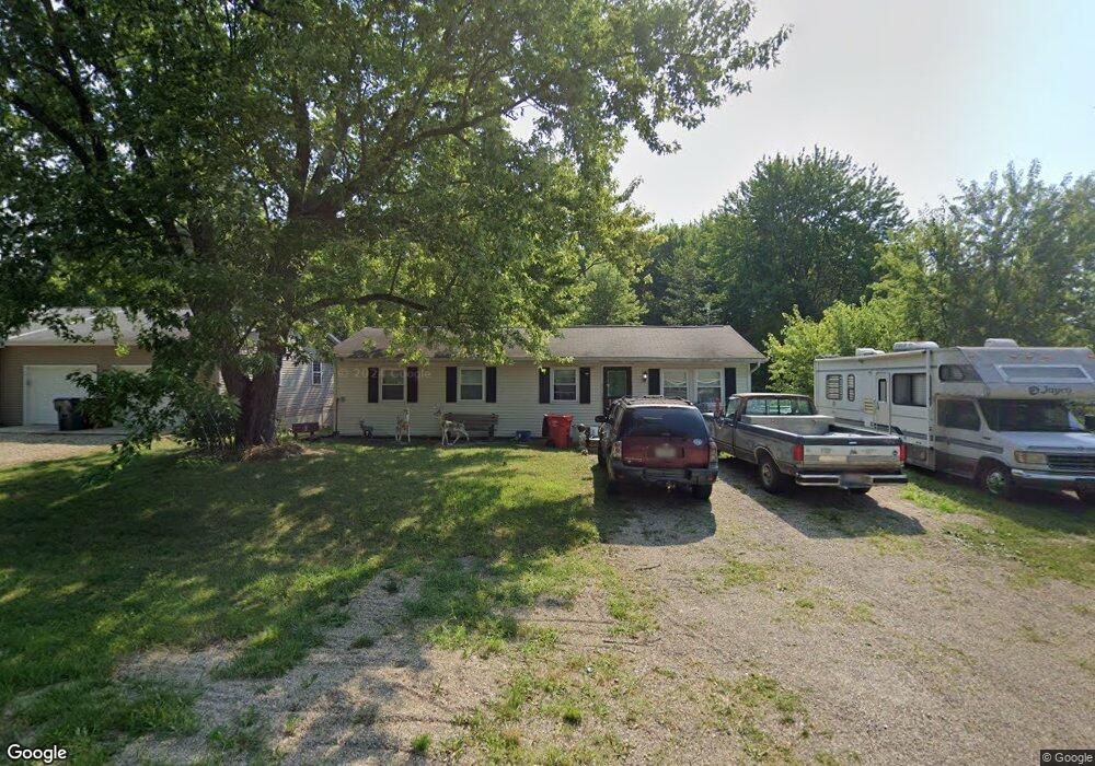
76 Amber Rd SW Pataskala, OH 43062
Estimated Value: $208,000 - $270,000
3
Beds
1
Bath
1,104
Sq Ft
$212/Sq Ft
Est. Value
About This Home
This home is located at 76 Amber Rd SW, Pataskala, OH 43062 and is currently estimated at $233,668, approximately $211 per square foot. 76 Amber Rd SW is a home located in Licking County with nearby schools including North Elementary School, Licking Heights Central, and Licking Heights High School.
Ownership History
Date
Name
Owned For
Owner Type
Purchase Details
Closed on
Jan 14, 2000
Sold by
Blakely Norma J
Bought by
Slutz Christina R
Current Estimated Value
Home Financials for this Owner
Home Financials are based on the most recent Mortgage that was taken out on this home.
Original Mortgage
$72,444
Outstanding Balance
$23,104
Interest Rate
7.89%
Mortgage Type
FHA
Estimated Equity
$210,564
Create a Home Valuation Report for This Property
The Home Valuation Report is an in-depth analysis detailing your home's value as well as a comparison with similar homes in the area
Home Values in the Area
Average Home Value in this Area
Purchase History
| Date | Buyer | Sale Price | Title Company |
|---|---|---|---|
| Slutz Christina R | $72,500 | -- |
Source: Public Records
Mortgage History
| Date | Status | Borrower | Loan Amount |
|---|---|---|---|
| Open | Slutz Christina R | $72,444 |
Source: Public Records
Tax History Compared to Growth
Tax History
| Year | Tax Paid | Tax Assessment Tax Assessment Total Assessment is a certain percentage of the fair market value that is determined by local assessors to be the total taxable value of land and additions on the property. | Land | Improvement |
|---|---|---|---|---|
| 2024 | $2,808 | $54,780 | $18,730 | $36,050 |
| 2023 | $2,913 | $54,780 | $18,730 | $36,050 |
| 2022 | $2,717 | $37,490 | $9,980 | $27,510 |
| 2021 | $2,761 | $37,490 | $9,980 | $27,510 |
| 2020 | $2,734 | $37,490 | $9,980 | $27,510 |
| 2019 | $2,437 | $30,350 | $9,980 | $20,370 |
| 2018 | $2,458 | $0 | $0 | $0 |
| 2017 | $2,639 | $0 | $0 | $0 |
| 2016 | $2,618 | $0 | $0 | $0 |
| 2015 | $2,526 | $0 | $0 | $0 |
| 2014 | $3,110 | $0 | $0 | $0 |
| 2013 | $2,513 | $0 | $0 | $0 |
Source: Public Records
Map
Nearby Homes
- 209 Rona Blvd
- 211 Rona Blvd
- 65 Daley Dr SW
- 13771 Cleveland Rd SW
- 13770 Cleveland Rd SW
- 131 Broadmoore Blvd
- 220 Woodland Sky Dr
- 507 Curry Dr
- 413 Halton Dr
- 0 Mink St SW
- 0 Mink St SW Unit 13 225006231
- 7376 Mink St SW
- 5181 Mink St SW
- 0 Havens Corners Rd
- 805 Saddle Ave
- 605 Faith Ann Dr
- 310 N Summit Ridge Dr SW
- 14160 Havens Corners Rd SW
- Somerset Plan at Borders Place
- Carlisle Plan at Borders Place
- 94 Amber Rd SW
- 56 Amber Rd SW
- 67 Amber Rd SW
- 81 Amber Rd SW
- 13272 Cleveland Rd SW
- 13262 Cleveland Rd SW
- 57 Amber Rd SW
- 13242 Cleveland Rd SW
- 13232 Cleveland Rd SW
- 13252 Cleveland Rd SW
- 13300 Cleveland Rd SW
- 91 Amber Rd SW
- 13310 Cleveland Rd SW
- 208 Rosie Ave
- 210 Rosie Ave
- 13214 Cleveland Rd SW
- 212 Rosie Ave
- 100 Amber Rd SW
- 67 Meadow Ln SW
- 207 Rosie Ave