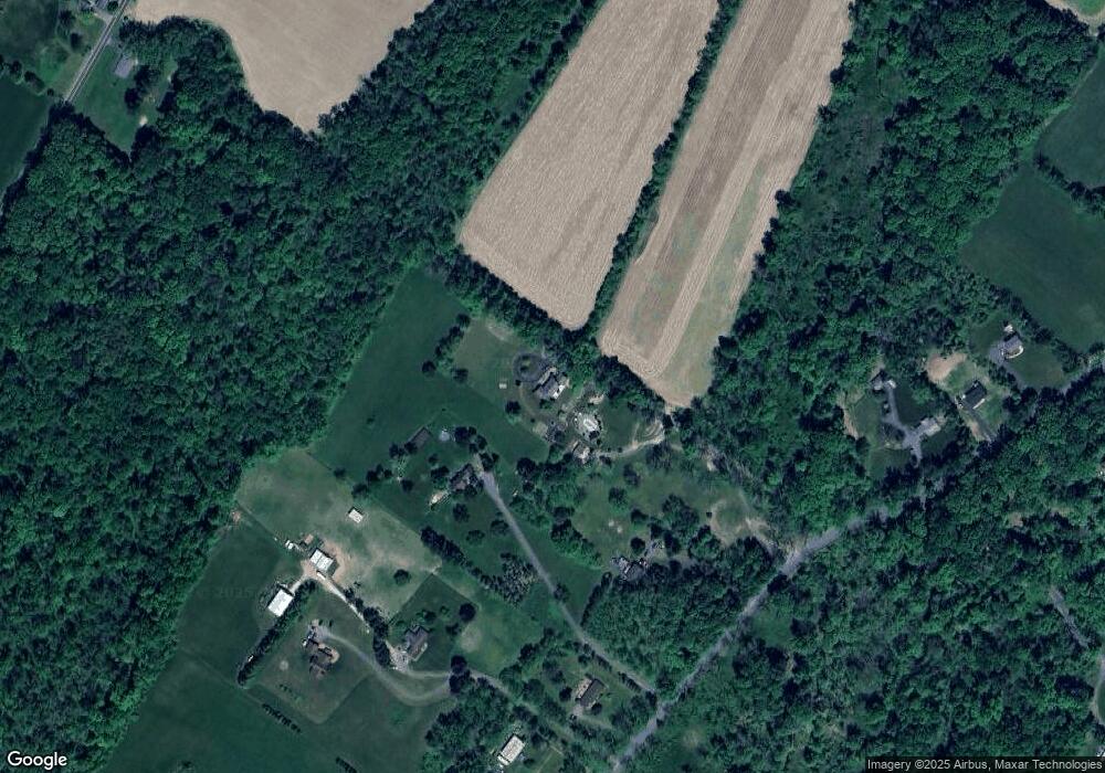
76 Auble Rd Blairstown, NJ 07825
Estimated Value: $512,000 - $628,000
--
Bed
--
Bath
2,402
Sq Ft
$237/Sq Ft
Est. Value
About This Home
This home is located at 76 Auble Rd, Blairstown, NJ 07825 and is currently estimated at $569,782, approximately $237 per square foot. 76 Auble Rd is a home located in Warren County with nearby schools including Knowlton Township Elementary School and North Warren Regional School.
Ownership History
Date
Name
Owned For
Owner Type
Purchase Details
Closed on
Oct 9, 2013
Sold by
Kida Neil F and Kida Anastasia M
Bought by
Kida Neil F and Kida Kenneth
Current Estimated Value
Create a Home Valuation Report for This Property
The Home Valuation Report is an in-depth analysis detailing your home's value as well as a comparison with similar homes in the area
Home Values in the Area
Average Home Value in this Area
Purchase History
| Date | Buyer | Sale Price | Title Company |
|---|---|---|---|
| Kida Neil F | -- | None Available |
Source: Public Records
Tax History Compared to Growth
Tax History
| Year | Tax Paid | Tax Assessment Tax Assessment Total Assessment is a certain percentage of the fair market value that is determined by local assessors to be the total taxable value of land and additions on the property. | Land | Improvement |
|---|---|---|---|---|
| 2025 | $13,889 | $348,800 | $78,000 | $270,800 |
| 2024 | $13,593 | $348,800 | $78,000 | $270,800 |
| 2023 | $13,188 | $348,800 | $78,000 | $270,800 |
| 2022 | $12,843 | $348,800 | $78,000 | $270,800 |
| 2021 | $12,107 | $348,800 | $78,000 | $270,800 |
| 2020 | $12,553 | $348,800 | $78,000 | $270,800 |
| 2019 | $12,041 | $348,800 | $78,000 | $270,800 |
| 2018 | $12,041 | $348,800 | $78,000 | $270,800 |
| 2017 | $11,912 | $348,800 | $78,000 | $270,800 |
| 2016 | $11,653 | $348,800 | $78,000 | $270,800 |
| 2015 | $11,514 | $348,800 | $78,000 | $270,800 |
| 2014 | $11,120 | $348,800 | $78,000 | $270,800 |
Source: Public Records
Map
Nearby Homes