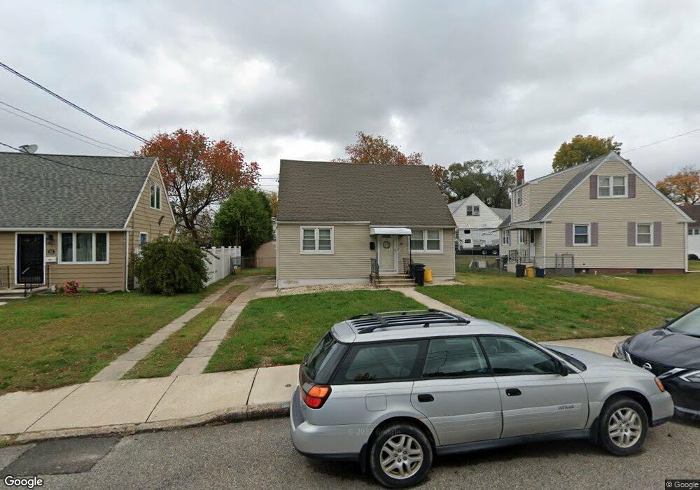
76 Baylor Rd Trenton, NJ 08610
Estimated Value: $338,978 - $403,000
Studio
--
Bath
1,204
Sq Ft
$307/Sq Ft
Est. Value
About This Home
This home is located at 76 Baylor Rd, Trenton, NJ 08610 and is currently estimated at $369,995, approximately $307 per square foot. 76 Baylor Rd is a home located in Mercer County with nearby schools including Robinson Elementary School, Albert E. Grice Middle School, and Hamilton West-Watson High School.
Ownership History
Date
Name
Owned For
Owner Type
Purchase Details
Closed on
Jul 27, 2006
Sold by
Kiely William
Bought by
Brilla Andrew and Brilla Frances
Current Estimated Value
Home Financials for this Owner
Home Financials are based on the most recent Mortgage that was taken out on this home.
Original Mortgage
$106,000
Outstanding Balance
$63,779
Interest Rate
6.8%
Mortgage Type
Purchase Money Mortgage
Estimated Equity
$306,216
Purchase Details
Closed on
Oct 26, 1998
Sold by
Kiely Marsha
Bought by
Kiely William
Home Financials for this Owner
Home Financials are based on the most recent Mortgage that was taken out on this home.
Original Mortgage
$103,500
Interest Rate
6.64%
Mortgage Type
Purchase Money Mortgage
Create a Home Valuation Report for This Property
The Home Valuation Report is an in-depth analysis detailing your home's value as well as a comparison with similar homes in the area
Home Values in the Area
Average Home Value in this Area
Purchase History
| Date | Buyer | Sale Price | Title Company |
|---|---|---|---|
| Brilla Andrew | $235,000 | -- | |
| Kiely William | $19,167 | -- |
Source: Public Records
Mortgage History
| Date | Status | Borrower | Loan Amount |
|---|---|---|---|
| Open | Brilla Andrew | $106,000 | |
| Previous Owner | Kiely William | $103,500 |
Source: Public Records
Tax History
| Year | Tax Paid | Tax Assessment Tax Assessment Total Assessment is a certain percentage of the fair market value that is determined by local assessors to be the total taxable value of land and additions on the property. | Land | Improvement |
|---|---|---|---|---|
| 2025 | $5,674 | $161,000 | $50,000 | $111,000 |
| 2024 | $5,318 | $161,000 | $50,000 | $111,000 |
Source: Public Records
Map
Nearby Homes
- 24 Soloff Dr
- 3700 S Clinton Ave
- 70 Miles Ave
- 7 Alfred Ave
- 157 Churchill Ave
- 234 Thropp Ave
- 201 Lillian Ave
- 222 Samdin Blvd
- 353 Redwood Ave
- 1961 S Broad St
- 9 Vicky Ct
- 539 US Highway 206
- 580 Route 206
- 22 E Taylor Ave
- 153 Knapp Ave
- 323 Wilfred Ave
- 529 Hunt Ave
- 229 Parkinson Ave
- 105 Carmen Ave
- 436 Hunt Ave
Your Personal Tour Guide
Ask me questions while you tour the home.