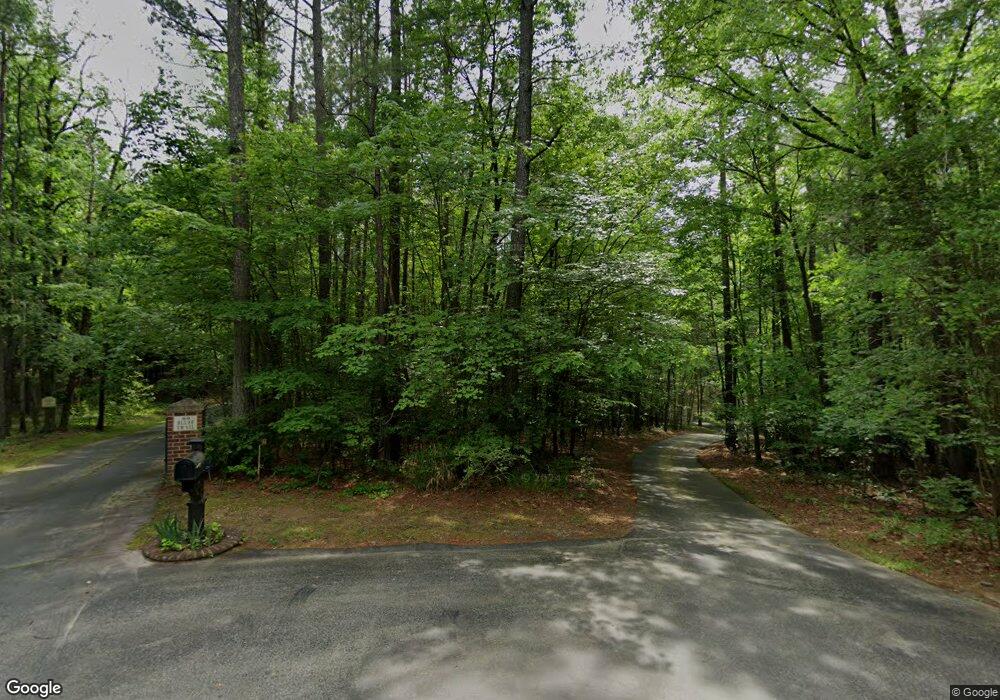
76 Bluff Trail Pittsboro, NC 27312
Estimated Value: $635,000 - $840,000
3
Beds
2
Baths
2,818
Sq Ft
$271/Sq Ft
Est. Value
About This Home
This home is located at 76 Bluff Trail, Pittsboro, NC 27312 and is currently estimated at $764,503, approximately $271 per square foot. 76 Bluff Trail is a home located in Chatham County with nearby schools including Pittsboro Elementary School, George Moses Horton Middle School, and Thales Academy Pittsboro Pre-K-6.
Ownership History
Date
Name
Owned For
Owner Type
Purchase Details
Closed on
Aug 11, 2011
Sold by
Steimers Richard and Steimers Debra
Bought by
Turley Amber L
Current Estimated Value
Home Financials for this Owner
Home Financials are based on the most recent Mortgage that was taken out on this home.
Original Mortgage
$304,703
Outstanding Balance
$209,923
Interest Rate
4.54%
Mortgage Type
New Conventional
Estimated Equity
$554,580
Create a Home Valuation Report for This Property
The Home Valuation Report is an in-depth analysis detailing your home's value as well as a comparison with similar homes in the area
Home Values in the Area
Average Home Value in this Area
Purchase History
| Date | Buyer | Sale Price | Title Company |
|---|---|---|---|
| Turley Amber L | $316,000 | None Available |
Source: Public Records
Mortgage History
| Date | Status | Borrower | Loan Amount |
|---|---|---|---|
| Open | Turley Amber L | $304,703 |
Source: Public Records
Tax History Compared to Growth
Tax History
| Year | Tax Paid | Tax Assessment Tax Assessment Total Assessment is a certain percentage of the fair market value that is determined by local assessors to be the total taxable value of land and additions on the property. | Land | Improvement |
|---|---|---|---|---|
| 2025 | $5,780 | $791,944 | $135,360 | $656,584 |
| 2024 | $5,780 | $556,108 | $87,146 | $468,962 |
| 2023 | $4,961 | $556,108 | $87,146 | $468,962 |
| 2022 | $4,527 | $556,108 | $87,146 | $468,962 |
| 2021 | $4,527 | $556,108 | $87,146 | $468,962 |
| 2020 | $2,449 | $293,251 | $68,350 | $224,901 |
| 2019 | $2,449 | $293,251 | $68,350 | $224,901 |
| 2018 | $2,326 | $293,251 | $68,350 | $224,901 |
| 2017 | $2,326 | $293,251 | $68,350 | $224,901 |
| 2016 | $2,348 | $293,869 | $68,350 | $225,519 |
| 2015 | $2,313 | $293,869 | $68,350 | $225,519 |
| 2014 | $2,293 | $293,869 | $68,350 | $225,519 |
| 2013 | -- | $293,869 | $68,350 | $225,519 |
Source: Public Records
Map
Nearby Homes
- 59 Riverstone Dr
- 115 Evington Dr Unit 29
- 240 Riverstone Dr
- 186 Evington Dr
- 291 Riverstone Dr
- 226 Evington Dr
- 102 Peddler Mill Way Unit 23
- 387 Riverstone Dr
- 82 Stevens Creek Dr
- 245 Hanks Loop Rd
- 0 Us 64 E Unit 10094521
- 639 Hills of the Haw Rd
- 211 Hills of the Haw
- 345 Parkland Dr
- 333 Parkland Dr
- 313 Parkland Dr
- 72 Rainfall Dr
- 32 Relaxing Way
- 285 Parkland Dr
- 339 Parkland Dr
- 353 Foxfire Trace
- 50 Bluff Trail
- 361 Foxfire Trace
- 79 Bluff Trail
- 80 Bluff Trail
- 73 Dee Farrell Rd
- 417 Foxfire Trace
- 7285 U S Highway 64 E
- 101 River Bluff Dr
- 184 River Bluff Dr
- 205 River Bluff Dr
- 2688 U S 64
- 2168 U S 64
- 309 Arborgate
- 285 Ridge Trail
- Lot 9 Ridge Trail
- 145 Ridge Trail
- 285 River Bluff Dr
- 139 Dee Farrell Rd
- 354 Mindees Ln Unit 709
