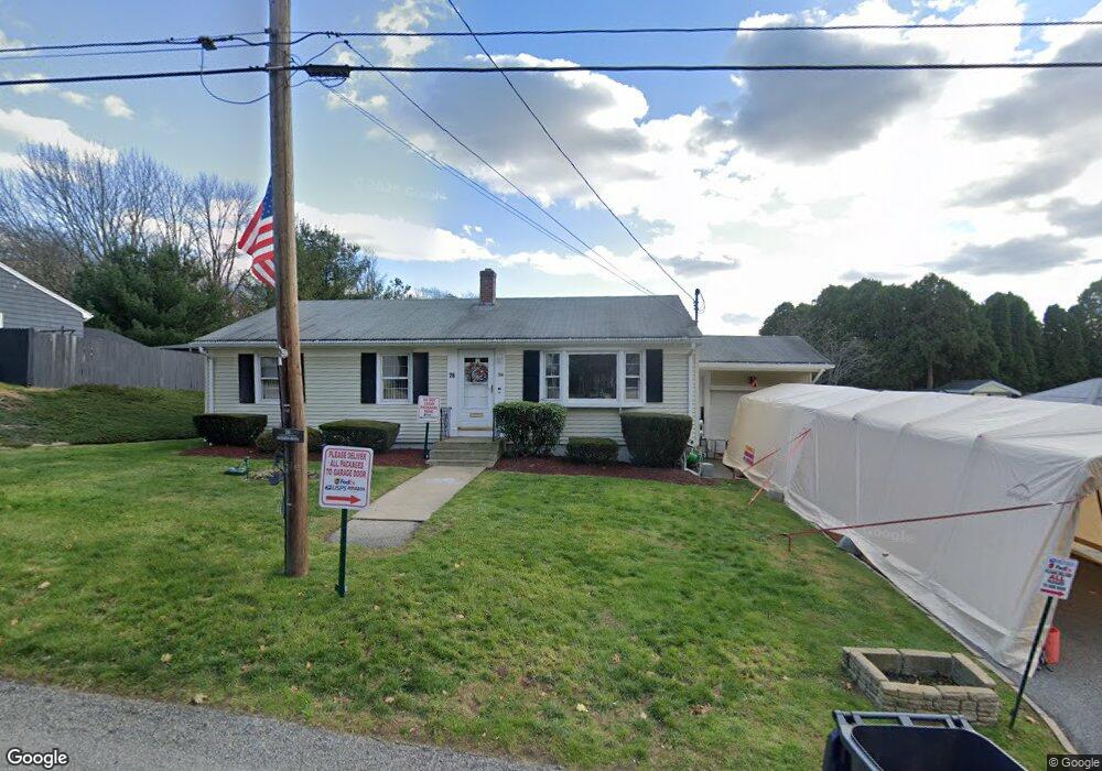
76 Boyden Blvd Riverside, RI 02915
Boyden Heights NeighborhoodEstimated Value: $499,000 - $534,000
3
Beds
2
Baths
1,922
Sq Ft
$267/Sq Ft
Est. Value
About This Home
This home is located at 76 Boyden Blvd, Riverside, RI 02915 and is currently estimated at $513,269, approximately $267 per square foot. 76 Boyden Blvd is a home located in Providence County with nearby schools including East Providence High School, St Mary Academy-Bay View, and The Gordon School.
Ownership History
Date
Name
Owned For
Owner Type
Purchase Details
Closed on
Dec 5, 2016
Sold by
Carey Mary F
Bought by
Vargas Jounny and Vargas Charlene R
Current Estimated Value
Home Financials for this Owner
Home Financials are based on the most recent Mortgage that was taken out on this home.
Original Mortgage
$66,400
Outstanding Balance
$54,148
Interest Rate
3.52%
Mortgage Type
New Conventional
Estimated Equity
$459,121
Create a Home Valuation Report for This Property
The Home Valuation Report is an in-depth analysis detailing your home's value as well as a comparison with similar homes in the area
Home Values in the Area
Average Home Value in this Area
Purchase History
| Date | Buyer | Sale Price | Title Company |
|---|---|---|---|
| Vargas Jounny | $83,000 | -- | |
| Vargas Jounny | $83,000 | -- |
Source: Public Records
Mortgage History
| Date | Status | Borrower | Loan Amount |
|---|---|---|---|
| Open | Vargas Jounny | $66,400 | |
| Closed | Vargas Jounny | $66,400 |
Source: Public Records
Tax History
| Year | Tax Paid | Tax Assessment Tax Assessment Total Assessment is a certain percentage of the fair market value that is determined by local assessors to be the total taxable value of land and additions on the property. | Land | Improvement |
|---|---|---|---|---|
| 2025 | $5,972 | $456,900 | $166,300 | $290,600 |
| 2024 | $5,773 | $376,600 | $138,600 | $238,000 |
| 2023 | $5,559 | $376,600 | $138,600 | $238,000 |
| 2022 | $5,227 | $239,100 | $78,000 | $161,100 |
| 2021 | $5,141 | $239,100 | $75,400 | $163,700 |
| 2020 | $4,923 | $239,100 | $75,400 | $163,700 |
| 2019 | $4,787 | $239,100 | $75,400 | $163,700 |
| 2018 | $4,395 | $192,100 | $58,500 | $133,600 |
| 2017 | $4,297 | $192,100 | $58,500 | $133,600 |
| 2016 | $4,276 | $192,100 | $58,500 | $133,600 |
| 2015 | $3,980 | $173,400 | $54,200 | $119,200 |
| 2014 | $3,980 | $173,400 | $54,200 | $119,200 |
Source: Public Records
Map
Nearby Homes
- 14 Waterview Ave Unit 16
- 2941 Pawtucket Ave
- 50 Kettle Point Ave Unit 50
- 53 Wampanoag Trail
- 6 Fuller Ave
- 25 Bullocks Point Ave Unit 5C
- 33 Bullocks Point Ave Unit 5C
- 34 Commack Rd
- 43 Bullocks Point Ave Unit 4A
- 106 Wannamoisett Rd
- 74 Brookhaven Dr
- 151 Willett Ave Unit 2
- 29 Ide Ave
- 25 Arnold St
- 28 Jefferson Ave
- 61 Armington St
- 77 Gardiner Ave
- 151 Dover Ave
- 1180 Narragansett Blvd Unit 1
- 103 Burnside Ave
Your Personal Tour Guide
Ask me questions while you tour the home.