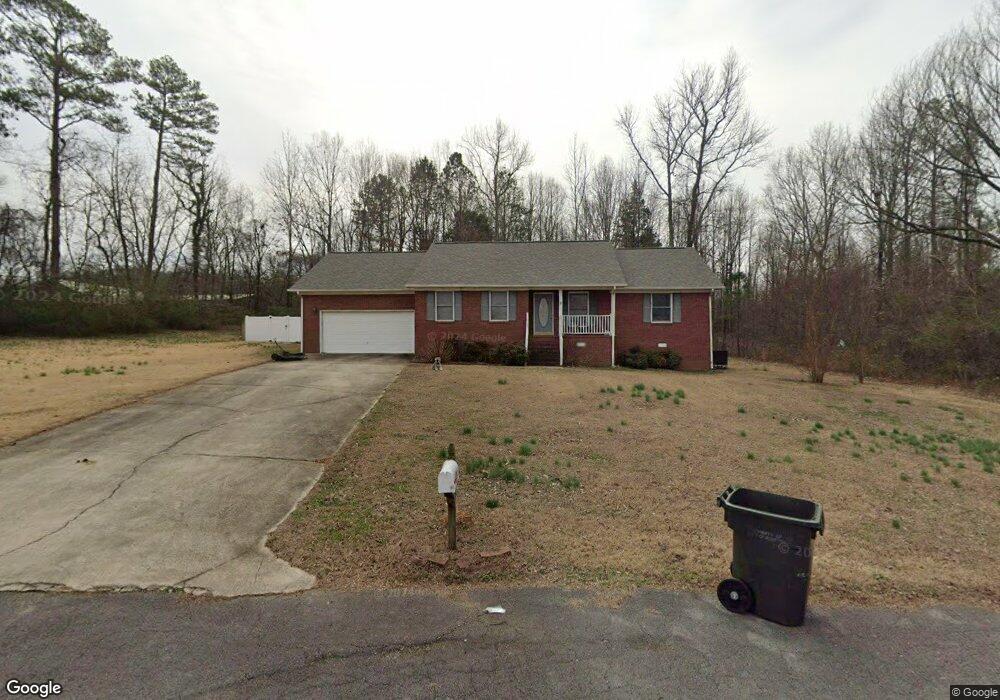
76 Bristol St Scottsboro, AL 35769
Estimated Value: $265,000 - $353,000
3
Beds
2
Baths
1,511
Sq Ft
$194/Sq Ft
Est. Value
About This Home
This home is located at 76 Bristol St, Scottsboro, AL 35769 and is currently estimated at $293,868, approximately $194 per square foot. 76 Bristol St is a home located in Jackson County with nearby schools including Scottsboro High School.
Ownership History
Date
Name
Owned For
Owner Type
Purchase Details
Closed on
Jul 29, 2014
Sold by
Smauel E Smauel E and Bryant Carolyn Jackie
Bought by
Bryant Amber Lenae and Bryant Steven Earl
Current Estimated Value
Purchase Details
Closed on
Nov 20, 2009
Sold by
Robertson Heath B and Robertson Roni
Bought by
Bryant Amber L
Home Financials for this Owner
Home Financials are based on the most recent Mortgage that was taken out on this home.
Original Mortgage
$143,253
Interest Rate
4.98%
Mortgage Type
Purchase Money Mortgage
Purchase Details
Closed on
Sep 15, 2006
Sold by
Crittendon Elizabeth Ann
Bought by
Robertson Heath B
Home Financials for this Owner
Home Financials are based on the most recent Mortgage that was taken out on this home.
Original Mortgage
$120,650
Interest Rate
6.48%
Mortgage Type
Purchase Money Mortgage
Purchase Details
Closed on
May 31, 2005
Sold by
Ingleright James A and Ingleright Angela H
Bought by
Crittendon Elizabeth Ann
Create a Home Valuation Report for This Property
The Home Valuation Report is an in-depth analysis detailing your home's value as well as a comparison with similar homes in the area
Home Values in the Area
Average Home Value in this Area
Purchase History
| Date | Buyer | Sale Price | Title Company |
|---|---|---|---|
| Bryant Amber Lenae | -- | -- | |
| Bryant Amber L | $145,900 | -- | |
| Robertson Heath B | $127,000 | -- | |
| Crittendon Elizabeth Ann | -- | -- |
Source: Public Records
Mortgage History
| Date | Status | Borrower | Loan Amount |
|---|---|---|---|
| Previous Owner | Bryant Amber L | $143,253 | |
| Previous Owner | Robertson Heath B | $120,650 |
Source: Public Records
Tax History Compared to Growth
Tax History
| Year | Tax Paid | Tax Assessment Tax Assessment Total Assessment is a certain percentage of the fair market value that is determined by local assessors to be the total taxable value of land and additions on the property. | Land | Improvement |
|---|---|---|---|---|
| 2024 | $728 | $14,980 | $0 | $0 |
| 2023 | $678 | $14,980 | $0 | $0 |
| 2022 | $649 | $14,400 | $0 | $0 |
| 2021 | $649 | $14,400 | $0 | $0 |
| 2020 | $588 | $13,140 | $0 | $0 |
| 2019 | $569 | $12,740 | $0 | $0 |
| 2018 | $569 | $12,740 | $0 | $0 |
| 2017 | $569 | $127,400 | $0 | $0 |
| 2016 | $513 | $115,700 | $0 | $0 |
| 2015 | $544 | $122,000 | $0 | $0 |
| 2014 | $544 | $122,000 | $0 | $0 |
| 2013 | -- | $122,000 | $0 | $0 |
Source: Public Records
Map
Nearby Homes
- 42 Sherwood Dr
- 126 Hurt St
- Lots 21&22 Payne Cir
- 114 Cherokee Rd
- .68 Acres Veterans Dr
- 2410 Veterans Dr
- 2108 Roseberry Dr
- 29 Clark Trail
- 2103 Roseberry Dr
- 14 Moon Dr
- 25 Clark Trail
- 27 Clark Trail
- Lakeside Plan at Jackson Bend
- Kerry Plan at Jackson Bend
- Freeport Plan at Jackson Bend
- Aria Plan at Jackson Bend
- Cali Plan at Jackson Bend
- 17 Moon Dr
- 2111 Meadow Island Rd
- 1916 Virginia Ave
- 113 Sherwood Dr
- 865 Bristol St
- 110 Sherwood Dr
- 41 Bristol St
- 93 Sherwood Dr
- 19 Bristol St
- 75 Sherwood Dr
- 14 Bristol St
- 70 Sherwood Dr
- 79 Aberdeen Dr
- 55 Sherwood Dr
- 104 Lexington Dr
- 96 Trenton St
- 93 Lexington Dr
- 18 Sherwood Dr
- 25 Sherwood Dr
- 3408 E Trenton St
- 72 Trenton St
- 78 Lexington Dr
- 19 Aberdeen Dr