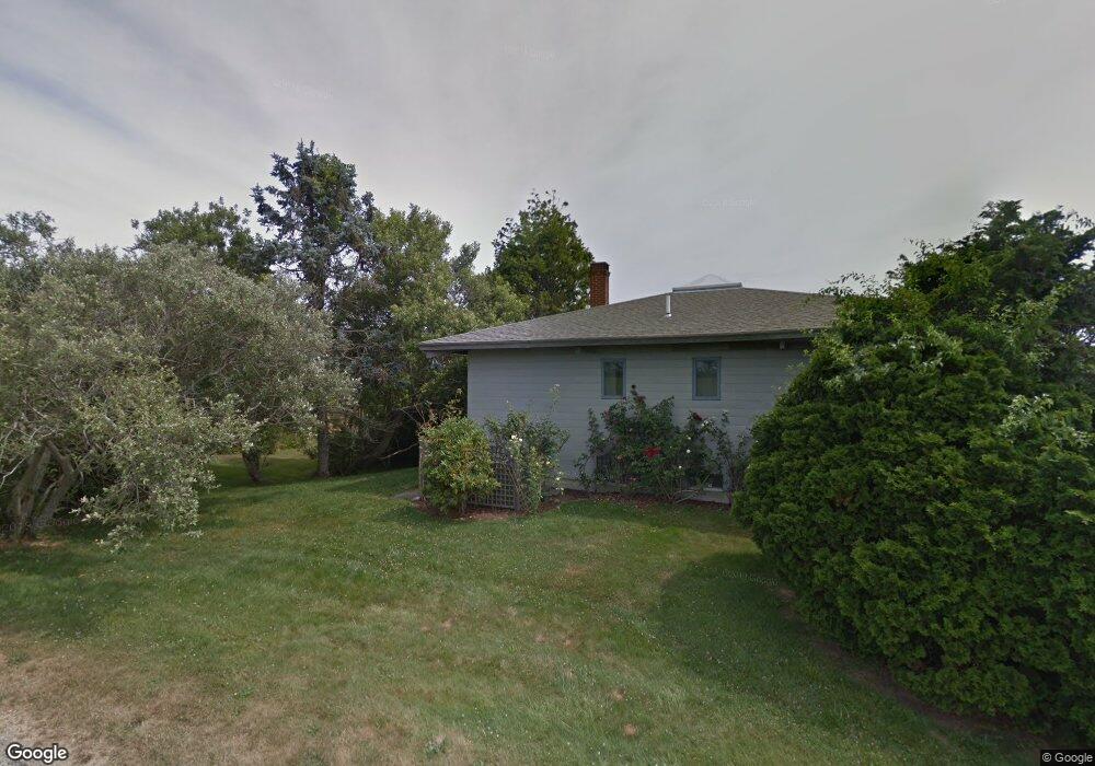
76 Butts Rock Rd Little Compton, RI 02837
Estimated Value: $1,405,468 - $1,746,000
2
Beds
3
Baths
2,100
Sq Ft
$785/Sq Ft
Est. Value
About This Home
This home is located at 76 Butts Rock Rd, Little Compton, RI 02837 and is currently estimated at $1,648,367, approximately $784 per square foot. 76 Butts Rock Rd is a home located in Newport County with nearby schools including Wilbur & McMahon School.
Ownership History
Date
Name
Owned For
Owner Type
Purchase Details
Closed on
Jun 9, 2000
Sold by
Stewart Laurel G
Bought by
Urban John M and Everett Sally P
Current Estimated Value
Home Financials for this Owner
Home Financials are based on the most recent Mortgage that was taken out on this home.
Original Mortgage
$125,000
Interest Rate
8.12%
Create a Home Valuation Report for This Property
The Home Valuation Report is an in-depth analysis detailing your home's value as well as a comparison with similar homes in the area
Home Values in the Area
Average Home Value in this Area
Purchase History
| Date | Buyer | Sale Price | Title Company |
|---|---|---|---|
| Urban John M | $378,500 | -- |
Source: Public Records
Mortgage History
| Date | Status | Borrower | Loan Amount |
|---|---|---|---|
| Open | Urban John M | $650,000 | |
| Closed | Urban John M | $118,000 | |
| Closed | Urban John M | $125,000 |
Source: Public Records
Tax History Compared to Growth
Tax History
| Year | Tax Paid | Tax Assessment Tax Assessment Total Assessment is a certain percentage of the fair market value that is determined by local assessors to be the total taxable value of land and additions on the property. | Land | Improvement |
|---|---|---|---|---|
| 2025 | $6,227 | $1,299,900 | $975,400 | $324,500 |
| 2024 | $5,812 | $1,144,100 | $848,100 | $296,000 |
| 2023 | $5,675 | $1,144,100 | $848,100 | $296,000 |
| 2022 | $5,606 | $1,144,100 | $848,100 | $296,000 |
| 2021 | $6,280 | $1,039,700 | $792,000 | $247,700 |
| 2020 | $6,228 | $1,039,700 | $792,000 | $247,700 |
| 2019 | $6,165 | $1,039,700 | $792,000 | $247,700 |
| 2018 | $5,886 | $987,600 | $792,000 | $195,600 |
| 2016 | $5,600 | $987,600 | $792,000 | $195,600 |
| 2015 | $5,156 | $896,700 | $669,500 | $227,200 |
| 2014 | $5,057 | $896,700 | $669,500 | $227,200 |
Source: Public Records
Map
Nearby Homes
- 18 Old Barn Rd
- 128 Maple Ave
- 141 S Of Commons Rd
- 304 Brayton Point Rd
- 189 Brayton Point Rd
- 536 W Main Rd
- 19 Seabury Ln
- 255 John Dyer Rd
- 505 Long Hwy
- 0 Willow Ave
- 441 W Main Rd
- 245 John Dyer Rd
- 180 W Main Rd
- 1881 Main Rd
- 116 Amy Hart Path
- 0 Reed Rd (Ss)
- 17 Ferolbink Way
- 83 Long Hwy
- 155 W Main Rd
- 1580 Main Rd