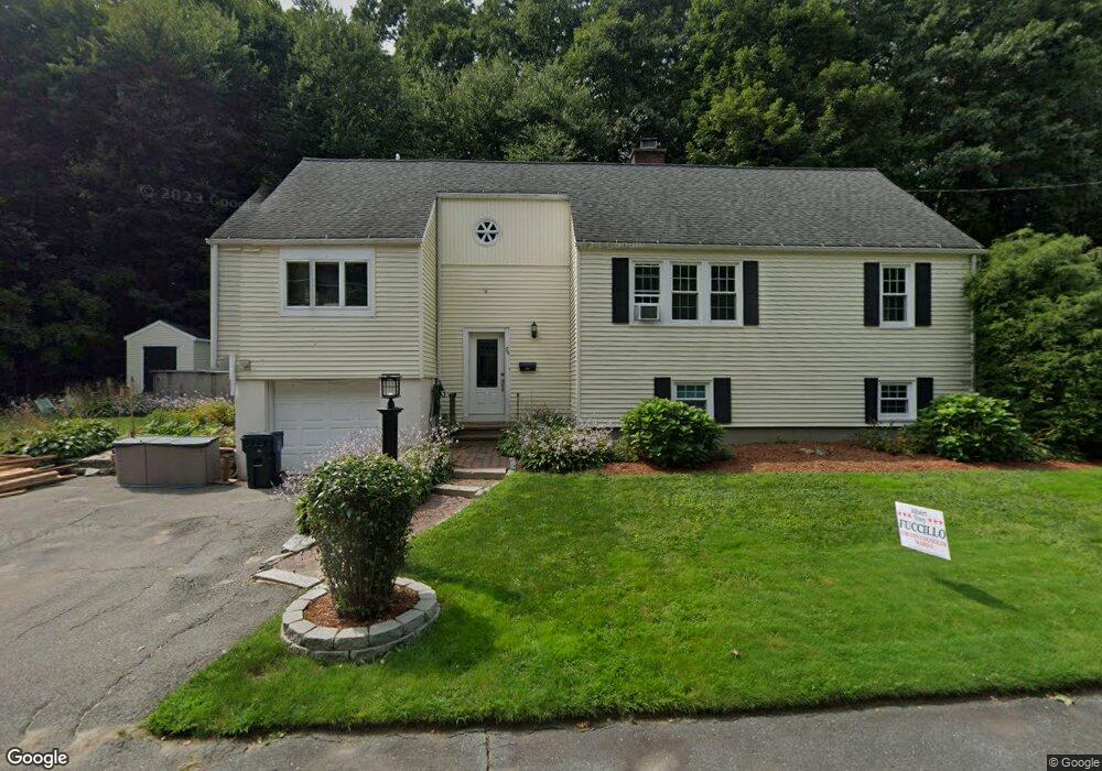
76 Clinton St Marlborough, MA 01752
Estimated Value: $631,000 - $689,000
5
Beds
2
Baths
2,300
Sq Ft
$286/Sq Ft
Est. Value
About This Home
This home is located at 76 Clinton St, Marlborough, MA 01752 and is currently estimated at $658,275, approximately $286 per square foot. 76 Clinton St is a home located in Middlesex County with nearby schools including Marlborough High School, New Covenant Christian School, and Glenhaven Academy - JRI School.
Ownership History
Date
Name
Owned For
Owner Type
Purchase Details
Closed on
Apr 26, 1999
Sold by
Snook Rt and Snook John B
Bought by
Lind Peter A and Lind Hannah J
Current Estimated Value
Home Financials for this Owner
Home Financials are based on the most recent Mortgage that was taken out on this home.
Original Mortgage
$156,000
Interest Rate
7.02%
Mortgage Type
Purchase Money Mortgage
Create a Home Valuation Report for This Property
The Home Valuation Report is an in-depth analysis detailing your home's value as well as a comparison with similar homes in the area
Home Values in the Area
Average Home Value in this Area
Purchase History
| Date | Buyer | Sale Price | Title Company |
|---|---|---|---|
| Lind Peter A | $195,000 | -- |
Source: Public Records
Mortgage History
| Date | Status | Borrower | Loan Amount |
|---|---|---|---|
| Open | Lind Peter A | $169,016 | |
| Closed | Lind Peter A | $156,000 | |
| Previous Owner | Lind Peter A | $120,000 |
Source: Public Records
Tax History Compared to Growth
Tax History
| Year | Tax Paid | Tax Assessment Tax Assessment Total Assessment is a certain percentage of the fair market value that is determined by local assessors to be the total taxable value of land and additions on the property. | Land | Improvement |
|---|---|---|---|---|
| 2025 | $5,328 | $540,400 | $226,400 | $314,000 |
| 2024 | $5,247 | $512,400 | $205,800 | $306,600 |
| 2023 | $5,374 | $465,700 | $175,600 | $290,100 |
| 2022 | $5,115 | $389,900 | $167,100 | $222,800 |
| 2021 | $5,141 | $372,500 | $139,300 | $233,200 |
| 2020 | $5,038 | $355,300 | $132,700 | $222,600 |
| 2019 | $4,912 | $349,100 | $130,000 | $219,100 |
| 2018 | $4,747 | $324,500 | $109,600 | $214,900 |
| 2017 | $4,676 | $305,200 | $107,300 | $197,900 |
| 2016 | $4,645 | $302,800 | $107,300 | $195,500 |
| 2015 | $4,621 | $293,200 | $110,000 | $183,200 |
Source: Public Records
Map
Nearby Homes
- 86 Clinton St
- 68 Clinton St
- 96 Clinton St
- 99 Clinton St
- 56 Clinton St
- 106 Clinton St
- 55 Clinton St
- 50 Clinton St
- 135 Old Charter Rd
- 127 Old Charter Rd
- 107 Clinton St
- 49 Clinton St
- 117 Old Charter Rd
- 35 Davis St
- 38 Clinton St
- 36 Clinton St
- 113 Clinton St
- 41 Clinton St
- 136 Old Charter Rd
- 128 Old Charter Rd