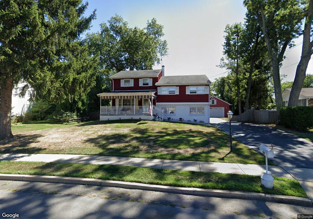
76 Cranbrook Rd Trenton, NJ 08690
Estimated Value: $490,000 - $605,000
Studio
--
Bath
2,312
Sq Ft
$239/Sq Ft
Est. Value
About This Home
This home is located at 76 Cranbrook Rd, Trenton, NJ 08690 and is currently estimated at $551,548, approximately $238 per square foot. 76 Cranbrook Rd is a home located in Mercer County with nearby schools including Morgan Elementary School, Emily C. Reynolds Middle School, and Steinert - Hamilton High East.
Ownership History
Date
Name
Owned For
Owner Type
Purchase Details
Closed on
Mar 3, 2004
Sold by
Barnock Frances A and Barnock George F
Bought by
Barnock Frances A and Barnock George F
Current Estimated Value
Home Financials for this Owner
Home Financials are based on the most recent Mortgage that was taken out on this home.
Interest Rate
5.58%
Purchase Details
Closed on
Jan 2, 2004
Create a Home Valuation Report for This Property
The Home Valuation Report is an in-depth analysis detailing your home's value as well as a comparison with similar homes in the area
Home Values in the Area
Average Home Value in this Area
Purchase History
| Date | Buyer | Sale Price | Title Company |
|---|---|---|---|
| Barnock Frances A | -- | -- | |
| -- | -- | -- |
Source: Public Records
Mortgage History
| Date | Status | Borrower | Loan Amount |
|---|---|---|---|
| Closed | Barnock Frances A | -- |
Source: Public Records
Tax History
| Year | Tax Paid | Tax Assessment Tax Assessment Total Assessment is a certain percentage of the fair market value that is determined by local assessors to be the total taxable value of land and additions on the property. | Land | Improvement |
|---|---|---|---|---|
| 2025 | $10,822 | $307,100 | $99,200 | $207,900 |
| 2024 | $10,144 | $307,100 | $99,200 | $207,900 |
Source: Public Records
Map
Nearby Homes
- 245 Paxson Ave
- 20 Coral Dr
- 26 Coral Dr
- 26 Doreen Rd
- 250 Mcadoo Ave
- 568 Flock Rd
- 327 Mcadoo Ave
- 255 Marshall Ave
- 2931 Nottingham Way
- 50 Park Ave
- 504 Paxson Ave
- 38 Mercer St
- 20 Azalea Way
- 2547 Yardville Hamilton Square Rd
- 16 Marjorie Way
- 51 Macon Dr
- 542 Mercerville-Edinburg Rd
- 2370 White Horse-Hamilton Square
- 121 Corson Ave
- 69 Corson Ave
- 78 Cranbrook Rd
- 74 Cranbrook Rd
- 5 Florister Dr
- 7 Florister Dr
- 80 Cranbrook Rd
- 72 Cranbrook Rd
- 77 Cranbrook Rd
- 321 Paxson Ave
- 9 Florister Dr
- 331 Paxson Ave
- 301 Paxson Ave
- 339 Paxson Ave
- 73 Cranbrook Rd
- 11 Florister Dr
- 82 Cranbrook Rd
- 351 Paxson Ave
- 70 Cranbrook Rd
- 71 Cranbrook Rd
- 6 Florister Dr
- 295 Paxson Ave
Your Personal Tour Guide
Ask me questions while you tour the home.