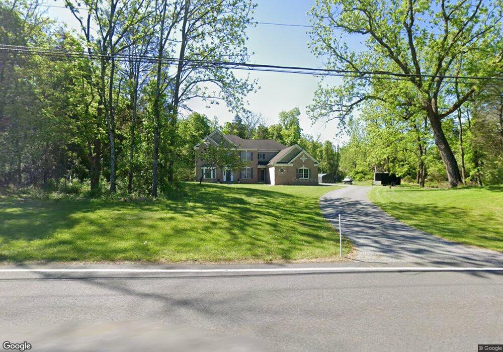
76 Creek Rd Andover, NJ 07821
Estimated Value: $803,000 - $938,000
--
Bed
--
Bath
4,015
Sq Ft
$212/Sq Ft
Est. Value
About This Home
This home is located at 76 Creek Rd, Andover, NJ 07821 and is currently estimated at $851,765, approximately $212 per square foot. 76 Creek Rd is a home located in Sussex County with nearby schools including Green Hills School and Tranquility Adventist School.
Ownership History
Date
Name
Owned For
Owner Type
Purchase Details
Closed on
Jun 23, 2015
Sold by
Nrz Reo Iv Corp
Bought by
Pretium Mortgage Acquistion Trust and Christiana Trust
Current Estimated Value
Purchase Details
Closed on
Feb 26, 2007
Sold by
Toll Land Xxv Lp
Bought by
Groschadl Robert
Home Financials for this Owner
Home Financials are based on the most recent Mortgage that was taken out on this home.
Original Mortgage
$150,000
Interest Rate
6.4%
Mortgage Type
Purchase Money Mortgage
Purchase Details
Closed on
Jan 16, 2004
Sold by
Federal Financial Co
Bought by
Toll Land Xxv Lp
Home Financials for this Owner
Home Financials are based on the most recent Mortgage that was taken out on this home.
Original Mortgage
$680,000
Interest Rate
5.8%
Mortgage Type
Purchase Money Mortgage
Create a Home Valuation Report for This Property
The Home Valuation Report is an in-depth analysis detailing your home's value as well as a comparison with similar homes in the area
Home Values in the Area
Average Home Value in this Area
Purchase History
| Date | Buyer | Sale Price | Title Company |
|---|---|---|---|
| Pretium Mortgage Acquistion Trust | -- | Title365 | |
| Groschadl Robert | $715,096 | None Available | |
| Toll Land Xxv Lp | $2,240,000 | Westminster Title Agency |
Source: Public Records
Mortgage History
| Date | Status | Borrower | Loan Amount |
|---|---|---|---|
| Previous Owner | Groschadl Robert | $150,000 | |
| Previous Owner | Toll Land Xxv Lp | $680,000 |
Source: Public Records
Tax History Compared to Growth
Tax History
| Year | Tax Paid | Tax Assessment Tax Assessment Total Assessment is a certain percentage of the fair market value that is determined by local assessors to be the total taxable value of land and additions on the property. | Land | Improvement |
|---|---|---|---|---|
| 2025 | $18,059 | $836,400 | $162,800 | $673,600 |
| 2024 | $17,929 | $464,000 | $131,100 | $332,900 |
| 2023 | $17,929 | $464,000 | $131,100 | $332,900 |
| 2022 | $17,057 | $464,000 | $131,100 | $332,900 |
| 2021 | $16,834 | $464,000 | $131,100 | $332,900 |
| 2020 | $16,426 | $464,000 | $131,100 | $332,900 |
| 2019 | $16,078 | $464,000 | $131,100 | $332,900 |
| 2018 | $16,922 | $464,000 | $131,100 | $332,900 |
| 2017 | $16,583 | $464,000 | $131,100 | $332,900 |
| 2016 | $16,096 | $464,000 | $131,100 | $332,900 |
| 2015 | $15,521 | $464,000 | $131,100 | $332,900 |
| 2014 | $15,099 | $464,000 | $131,100 | $332,900 |
Source: Public Records
Map
Nearby Homes
- 88 Kennedy Rd
- 8 Limekiln Ct
- 37 Pequest Rd
- 8 Woodfield Rd
- 0 Decker Pond Airport Rd Unit 3945534
- 78 Hillside Terrace
- 14 Hillside Terrace
- 73 Wolfs Corner Rd
- 288 Decker Pond Rd
- 34 Allamuchy Trail
- 7 Lakeview Trail
- 25 Prospect Ave
- 6 Jans Way
- 5 Harding Rd
- 520 Ridge Rd
- 516 Ridge Rd
- 8 Cub Lake Rd
- 5 Railroad Ave
- 8 Brighton Ave
- 3 Smith St