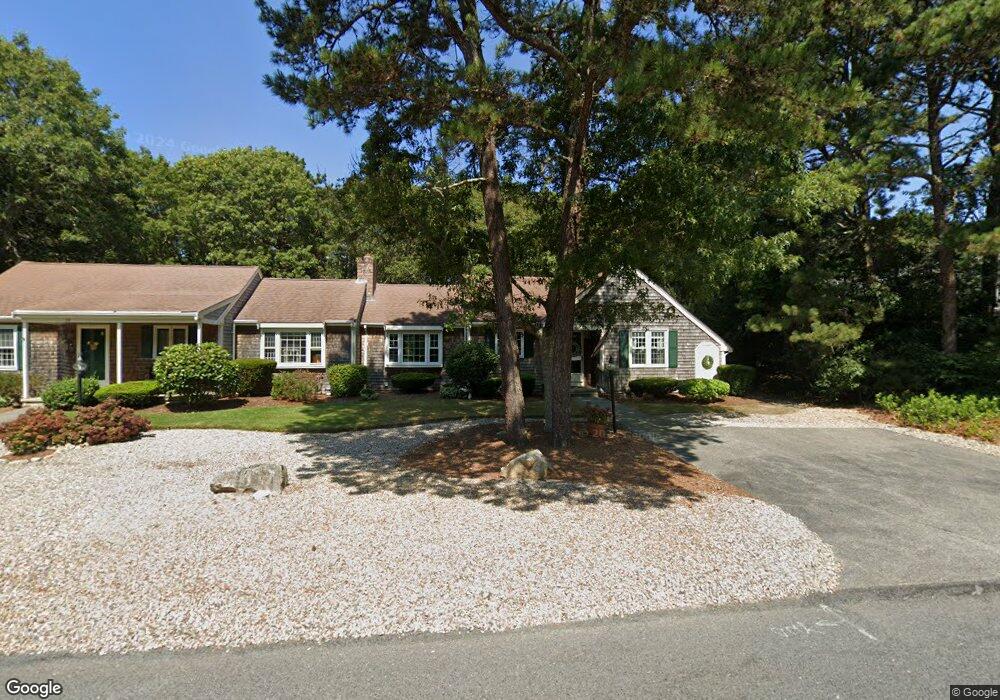
76 Debs Hill Rd Unit 47B Yarmouth Port, MA 02675
Yarmouth Port NeighborhoodEstimated Value: $452,000 - $494,000
2
Beds
2
Baths
1,170
Sq Ft
$400/Sq Ft
Est. Value
About This Home
This home is located at 76 Debs Hill Rd Unit 47B, Yarmouth Port, MA 02675 and is currently estimated at $468,135, approximately $400 per square foot. 76 Debs Hill Rd Unit 47B is a home located in Barnstable County with nearby schools including Dennis-Yarmouth Regional High School and St. Pius X. School.
Ownership History
Date
Name
Owned For
Owner Type
Purchase Details
Closed on
Dec 29, 2014
Sold by
Fnma
Bought by
Tripp Judith E
Current Estimated Value
Purchase Details
Closed on
Dec 18, 2014
Sold by
Iise Mary A and Green Tree Servicing L
Bought by
Fnma
Purchase Details
Closed on
Nov 30, 2006
Sold by
Bourne Richard W and Bourne Virginia S
Bought by
Ilse Mary Ann
Home Financials for this Owner
Home Financials are based on the most recent Mortgage that was taken out on this home.
Original Mortgage
$212,000
Interest Rate
6.36%
Mortgage Type
Purchase Money Mortgage
Purchase Details
Closed on
Dec 5, 2005
Sold by
Bourne Helen Y
Bought by
Bourne Richard W and Bourne Virginia S
Purchase Details
Closed on
Jun 2, 1997
Sold by
Muriel Perry T and Perry Muriel
Bought by
Bourne Helen Y
Create a Home Valuation Report for This Property
The Home Valuation Report is an in-depth analysis detailing your home's value as well as a comparison with similar homes in the area
Home Values in the Area
Average Home Value in this Area
Purchase History
| Date | Buyer | Sale Price | Title Company |
|---|---|---|---|
| Tripp Judith E | $206,000 | -- | |
| Fnma | $267,988 | -- | |
| Ilse Mary Ann | $265,000 | -- | |
| Bourne Richard W | $312,000 | -- | |
| Bourne Helen Y | $110,500 | -- |
Source: Public Records
Mortgage History
| Date | Status | Borrower | Loan Amount |
|---|---|---|---|
| Previous Owner | Ilse Mary Ann | $212,000 |
Source: Public Records
Tax History Compared to Growth
Tax History
| Year | Tax Paid | Tax Assessment Tax Assessment Total Assessment is a certain percentage of the fair market value that is determined by local assessors to be the total taxable value of land and additions on the property. | Land | Improvement |
|---|---|---|---|---|
| 2025 | $2,990 | $422,300 | $0 | $422,300 |
| 2024 | $3,274 | $443,600 | $0 | $443,600 |
| 2023 | $3,138 | $386,900 | $0 | $386,900 |
| 2022 | $2,549 | $277,700 | $0 | $277,700 |
| 2021 | $2,721 | $284,600 | $0 | $284,600 |
| 2020 | $2,745 | $274,500 | $0 | $274,500 |
| 2019 | $2,444 | $242,000 | $0 | $242,000 |
| 2018 | $2,406 | $233,800 | $0 | $233,800 |
| 2017 | $2,343 | $233,800 | $0 | $233,800 |
| 2016 | $2,090 | $209,400 | $0 | $209,400 |
| 2015 | $2,081 | $207,300 | $0 | $207,300 |
Source: Public Records
Map
Nearby Homes
- 16 Warren Rd Unit 16
- 16 Warren Rd
- 0 Forsyth Ave
- 209 Union St
- 1 Barnacle Rd
- 4 Old Colony Way
- 10 Upton Rd
- 882 W Yarmouth Rd
- 17 Trowbridge Path
- 933-935 W Yarmouth Rd
- 29 Boxwood Cir Unit 29
- 50 Cottonwood St
- 111 Merchant Ave
- 24 Minnetuxet Way
- 129 Driftwood Ln
- 118 Driftwood Ln
- 10 Balsam Way
- 49 Captain Besse Rd
- 43 Canterbury Rd
- 44 Stratford Ln
- 76 Debs Hill Rd
- 78 Debs Hill Rd
- 78 Debs Hill Rd Unit 47A
- 70 Debs Hill Rd
- 72 Debs Hill Rd
- 82 Debs Hill Rd
- 84 Debs Hill Rd
- 84 Debs Hill Rd Unit 48A
- 77 Debs Hill Rd
- 75 Debs Hill Rd
- 77 Debs Hill Rd Unit 29B
- 71 Debs Hill Rd
- 69 Debs Hill Rd
- 71 Debs Hill Rd Unit 71
- 71 Debs Hill Rd Unit 71 (43B)
- 71 Debs Hill Rd Unit 43B
- 88 Debs Hill Rd
- 90 Debs Hill Rd
- 64 Debs Hill Rd
- 66 Debs Hill Rd