76 E 1040 N Payson, UT 84651
Estimated Value: $369,495 - $395,000
3
Beds
3
Baths
2,457
Sq Ft
$157/Sq Ft
Est. Value
About This Home
This home is located at 76 E 1040 N, Payson, UT 84651 and is currently estimated at $384,624, approximately $156 per square foot. 76 E 1040 N is a home located in Utah County with nearby schools including Apple Valley Elementary, Payson Junior High School, and Mt. Nebo Middle.
Ownership History
Date
Name
Owned For
Owner Type
Purchase Details
Closed on
Sep 18, 2025
Sold by
Ewell Development Llc
Bought by
Kada Properties Llc
Current Estimated Value
Purchase Details
Closed on
Mar 3, 2023
Sold by
Ewell David
Bought by
Ewell Development Llc
Purchase Details
Closed on
Sep 16, 2021
Sold by
Revere Homes Llc
Bought by
Ewell David
Home Financials for this Owner
Home Financials are based on the most recent Mortgage that was taken out on this home.
Original Mortgage
$208,000
Interest Rate
2.7%
Mortgage Type
New Conventional
Purchase Details
Closed on
Sep 23, 2020
Sold by
Santaquin Development Llc
Bought by
Sierra Homes Construction South Llc
Home Financials for this Owner
Home Financials are based on the most recent Mortgage that was taken out on this home.
Original Mortgage
$1,039,600
Interest Rate
2.9%
Mortgage Type
Purchase Money Mortgage
Create a Home Valuation Report for This Property
The Home Valuation Report is an in-depth analysis detailing your home's value as well as a comparison with similar homes in the area
Home Values in the Area
Average Home Value in this Area
Purchase History
| Date | Buyer | Sale Price | Title Company |
|---|---|---|---|
| Kada Properties Llc | -- | Wasatch Land & Title | |
| Ewell Development Llc | -- | Wasatch Land & Title | |
| Ewell David | -- | American Secure Title | |
| Sierra Homes Construction South Llc | -- | Ameircan Secure Ttl Tremonto |
Source: Public Records
Mortgage History
| Date | Status | Borrower | Loan Amount |
|---|---|---|---|
| Previous Owner | Ewell David | $208,000 | |
| Previous Owner | Sierra Homes Construction South Llc | $1,039,600 |
Source: Public Records
Tax History
| Year | Tax Paid | Tax Assessment Tax Assessment Total Assessment is a certain percentage of the fair market value that is determined by local assessors to be the total taxable value of land and additions on the property. | Land | Improvement |
|---|---|---|---|---|
| 2025 | $1,947 | $194,370 | -- | -- |
| 2024 | $1,947 | $193,875 | $0 | $0 |
| 2023 | $1,841 | $183,920 | $0 | $0 |
| 2022 | $2,060 | $212,300 | $0 | $0 |
| 2021 | $455 | $40,000 | $40,000 | $0 |
Source: Public Records
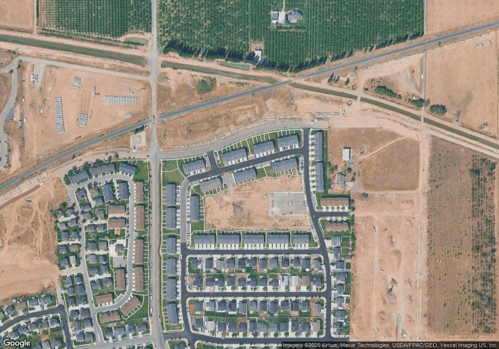
Map
Nearby Homes
- 144 E 990 N
- 24 W Apple Seed Ln
- 969 N Apple Seed Ln
- 933 N 200 E
- 933 N 200 E Unit 32
- 902 N 160 E
- 902 N 160 E Unit 19
- 873 N 200 E
- 842 N 160 E
- 842 N 160 E Unit 17
- 71 W 860 N
- 873 N 200 E Unit 36
- 214 W 930 N
- 210 W 930 N
- 206 W 930 N
- 868 N 260 East St Unit 204
- 892 N 260 W Unit 202
- 41 W 770 N
- 112 W 770 N
- 893 N 260 W Unit 227
- 78 E 1040 N
- 72 E 1040 N
- 68 E 1040 N
- 64 E 1040 N
- 74 E Ginger Gold Rd
- 70 E Ginger Gold Rd
- 70 E Ginger Gold Rd Unit 112
- 60 E Ginger Gold Rd
- 80 E Ginger Gold Rd
- 54 E Ginger Gold Rd
- 54 E Ginger Gold Rd Unit 115
- 92 E 1040 N
- 92 E 1040 N Unit 132
- 82 E Ginger Gold Rd
- 52 E Ginger Gold Rd
- 86 E Ginger Gold Rd
- 48 E 1040 N Unit 126
- 96 E 1040 N Unit 133
- 88 E Ginger Gold Rd
- 46 E 1040 N Unit 125
Your Personal Tour Guide
Ask me questions while you tour the home.