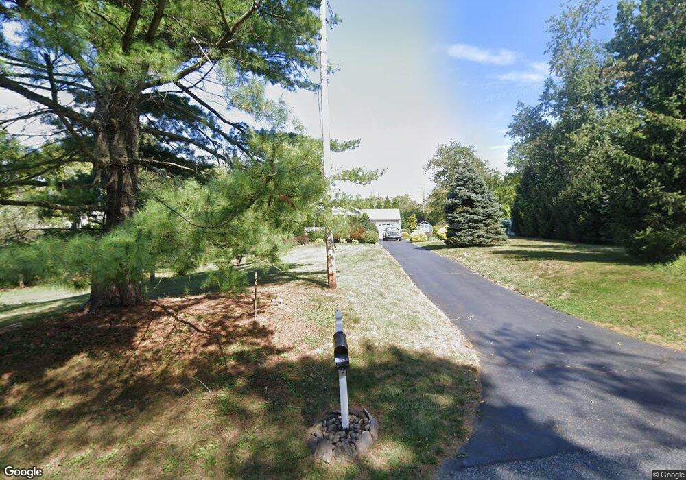
76 Garboski Rd Stockton, NJ 08559
Estimated Value: $466,000 - $673,000
--
Bed
--
Bath
1,718
Sq Ft
$341/Sq Ft
Est. Value
About This Home
This home is located at 76 Garboski Rd, Stockton, NJ 08559 and is currently estimated at $586,044, approximately $341 per square foot. 76 Garboski Rd is a home located in Hunterdon County with nearby schools including East Amwell Township, Hunterdon Central Regional High School District, and Our Hope Christian Academy.
Ownership History
Date
Name
Owned For
Owner Type
Purchase Details
Closed on
Jun 5, 2002
Sold by
Moxley Melissa C
Bought by
Mcgready Sharon C
Current Estimated Value
Home Financials for this Owner
Home Financials are based on the most recent Mortgage that was taken out on this home.
Original Mortgage
$172,000
Outstanding Balance
$72,674
Interest Rate
6.8%
Estimated Equity
$513,370
Create a Home Valuation Report for This Property
The Home Valuation Report is an in-depth analysis detailing your home's value as well as a comparison with similar homes in the area
Home Values in the Area
Average Home Value in this Area
Purchase History
| Date | Buyer | Sale Price | Title Company |
|---|---|---|---|
| Mcgready Sharon C | $215,000 | -- |
Source: Public Records
Mortgage History
| Date | Status | Borrower | Loan Amount |
|---|---|---|---|
| Open | Mcgready Sharon C | $172,000 |
Source: Public Records
Tax History Compared to Growth
Tax History
| Year | Tax Paid | Tax Assessment Tax Assessment Total Assessment is a certain percentage of the fair market value that is determined by local assessors to be the total taxable value of land and additions on the property. | Land | Improvement |
|---|---|---|---|---|
| 2025 | $9,581 | $362,500 | $182,900 | $179,600 |
| 2024 | $9,465 | $362,500 | $182,900 | $179,600 |
| 2023 | $9,465 | $362,500 | $182,900 | $179,600 |
| 2022 | $9,400 | $362,500 | $182,900 | $179,600 |
| 2021 | $8,928 | $362,500 | $182,900 | $179,600 |
| 2020 | $9,197 | $362,500 | $182,900 | $179,600 |
| 2019 | $8,928 | $362,500 | $182,900 | $179,600 |
| 2018 | $8,682 | $362,500 | $182,900 | $179,600 |
| 2017 | $8,613 | $362,500 | $182,900 | $179,600 |
| 2016 | $8,555 | $362,500 | $182,900 | $179,600 |
| 2015 | $8,338 | $362,500 | $182,900 | $179,600 |
| 2014 | $8,276 | $362,500 | $182,900 | $179,600 |
Source: Public Records
Map
Nearby Homes
- 229 Lambertville Hq Rd
- 229 Lambertville Headquarters Rd
- 348 Rosemont Ringoes Rd
- 58 Dunkard Church Rd
- 416 Rosemont Ringoes Rd
- 212 Sandy Ridge Mount Airy Rd
- 14 Rosemont Ringoes Rd
- 50 Dunkard Church Rd
- 2 Dairy Farm Ln
- 38 John Ringo Rd
- 13 Iron Horse Dr
- 0 Old York Rd
- 16 Holcombe Grove Rd
- 1 Surrey Ln
- 23 Higgins Farm Rd
- 22 Rocktown Hill Rd
- 552 Rosemont Ringoes Rd
- 730 Sergeantsville Rd
- 0 Mount Airy-Harbourton Rd
- 7 Toad Ln
- 3 Harvest Hill Dr
- 70 Garboski Rd
- 5 Harvest Hill Dr
- 1 Harvest Hill Dr
- 0 Harvest Hill Dr Unit 3944726
- 0 Harvest Hill Dr Unit 3912934
- 0 Harvest Hill Dr Unit 1-0 3843672
- 0 Harvest Hill Dr Unit 3838900
- 0 Harvest Hill Dr Unit 3774648
- 71 Garboski Rd
- 3 Myers Ln
- 2 Harvest Hill Dr
- 7 Harvest Hill Dr
- 6 Harvest Hill Dr
- 5 Myers Ln
- 9 Harvest Hill Dr
- 2 Myers Ln
- 55 Garboski Rd
- 4 Myers Ln
- 11 Harvest Hill Dr