76 Hays Ln Franklin, NC 28734
Estimated Value: $330,000 - $358,000
2
Beds
3
Baths
1,600
Sq Ft
$216/Sq Ft
Est. Value
About This Home
This home is located at 76 Hays Ln, Franklin, NC 28734 and is currently estimated at $344,927, approximately $215 per square foot. 76 Hays Ln is a home located in Macon County with nearby schools including East Franklin Elementary School, Mountain View Intermediate School, and Macon Middle School.
Ownership History
Date
Name
Owned For
Owner Type
Purchase Details
Closed on
Jul 3, 2014
Sold by
Macon Bank Inc
Bought by
Darveaux Shawn F
Current Estimated Value
Home Financials for this Owner
Home Financials are based on the most recent Mortgage that was taken out on this home.
Original Mortgage
$114,000
Outstanding Balance
$86,964
Interest Rate
4.2%
Mortgage Type
New Conventional
Estimated Equity
$257,963
Purchase Details
Closed on
Oct 11, 2013
Sold by
Wilkerson Bettie L and Hodges Bettie L
Bought by
Macon Bank Inc
Purchase Details
Closed on
Jul 23, 2007
Sold by
Hodges Bettie L and Allan James H
Bought by
Hodges Bettie L
Create a Home Valuation Report for This Property
The Home Valuation Report is an in-depth analysis detailing your home's value as well as a comparison with similar homes in the area
Home Values in the Area
Average Home Value in this Area
Purchase History
| Date | Buyer | Sale Price | Title Company |
|---|---|---|---|
| Darveaux Shawn F | $120,000 | None Available | |
| Macon Bank Inc | $121,000 | None Available | |
| Hodges Bettie L | -- | None Available |
Source: Public Records
Mortgage History
| Date | Status | Borrower | Loan Amount |
|---|---|---|---|
| Open | Darveaux Shawn F | $114,000 |
Source: Public Records
Tax History Compared to Growth
Tax History
| Year | Tax Paid | Tax Assessment Tax Assessment Total Assessment is a certain percentage of the fair market value that is determined by local assessors to be the total taxable value of land and additions on the property. | Land | Improvement |
|---|---|---|---|---|
| 2025 | $900 | $229,370 | $46,200 | $183,170 |
| 2024 | $900 | $229,370 | $46,200 | $183,170 |
| 2023 | $777 | $229,470 | $46,200 | $183,270 |
| 2022 | $777 | $142,290 | $28,570 | $113,720 |
| 2021 | $755 | $142,290 | $28,570 | $113,720 |
| 2020 | $719 | $142,290 | $28,570 | $113,720 |
| 2018 | $692 | $148,010 | $28,230 | $119,780 |
| 2017 | $692 | $148,010 | $28,230 | $119,780 |
| 2016 | $677 | $148,010 | $28,230 | $119,780 |
| 2015 | $654 | $148,010 | $28,230 | $119,780 |
| 2014 | $611 | $174,540 | $48,880 | $125,660 |
| 2013 | -- | $174,540 | $48,880 | $125,660 |
Source: Public Records
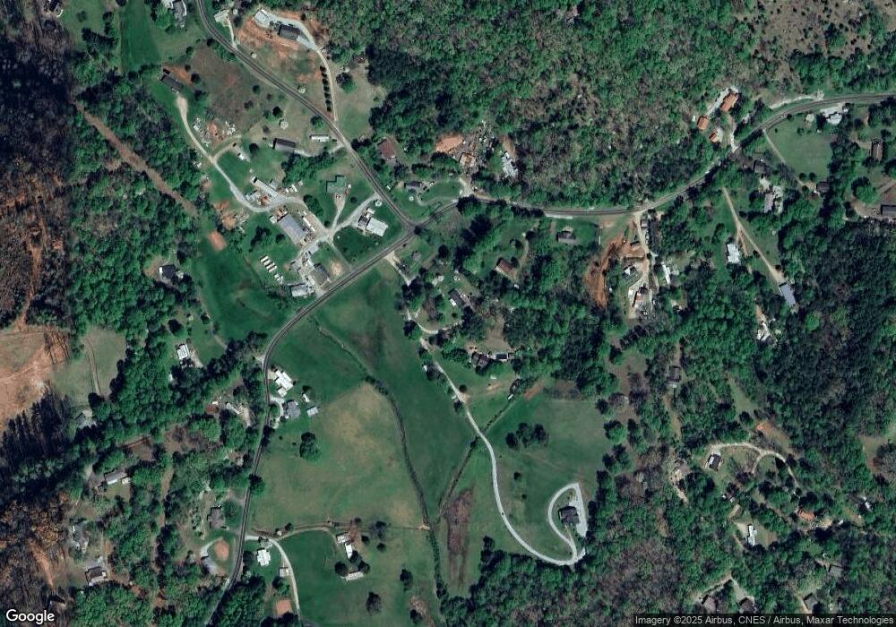
Map
Nearby Homes
- 70 Summit Hill Dr
- 16 Patton Ave
- 473 E Palmer St
- 125 Dearmin Terrace
- 1 Mountaintop Ln
- Lot 40 Kingston St
- 50 Fairview St
- Lot 34 Kingston St
- 387 NE Main St
- 9999 Kimberly Lane Lot 19
- Lot 312 Loop Rd
- Lot 314 Loop Rd
- 9999
- 00 Lot 1 Broken Antler Woods
- Lot 5 Mt Tabor
- 9999 Kimberly Lane Lot 17
- 9999
- 110 Elevation Rd
- 9999 Kimberly Lane Lot 3
- 87 Elevation Rd
- 76 Hayes Ln
- 323 E Rogers St
- 87 Hayes Ln
- 307 E Rogers St
- 307 E Rogers St
- 307 E Rogers St
- 307 E Rogers St
- 289 E Rogers St
- 339 E Rogers St
- 25 Hays Ln
- 245 E Rogers St
- 245 E Rogers St
- 154 W Rogers St
- 84 Hayes Cir
- 219 E Rogers St
- 138 W Rogers St
- 162820 Patton Ave
- 111 Hayes Cir
- 157 E Rogers St
- 74 W Rogers St