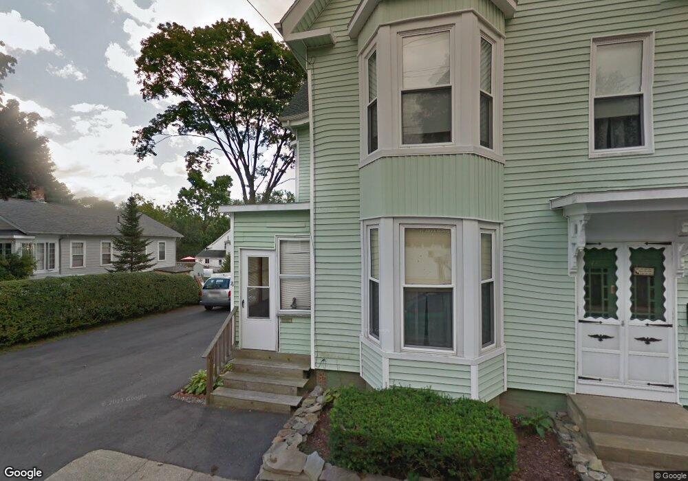
76 High St Amesbury, MA 01913
Estimated Value: $619,000 - $670,000
4
Beds
2
Baths
2,482
Sq Ft
$260/Sq Ft
Est. Value
About This Home
This home is located at 76 High St, Amesbury, MA 01913 and is currently estimated at $646,095, approximately $260 per square foot. 76 High St is a home located in Essex County with nearby schools including Amesbury High School and Amesbury Seventh-Day Adventist School.
Create a Home Valuation Report for This Property
The Home Valuation Report is an in-depth analysis detailing your home's value as well as a comparison with similar homes in the area
Home Values in the Area
Average Home Value in this Area
Tax History Compared to Growth
Tax History
| Year | Tax Paid | Tax Assessment Tax Assessment Total Assessment is a certain percentage of the fair market value that is determined by local assessors to be the total taxable value of land and additions on the property. | Land | Improvement |
|---|---|---|---|---|
| 2025 | $8,107 | $529,900 | $205,300 | $324,600 |
| 2024 | $7,997 | $511,300 | $193,600 | $317,700 |
| 2023 | $7,943 | $486,100 | $168,400 | $317,700 |
| 2022 | $7,053 | $398,700 | $146,400 | $252,300 |
| 2021 | $7,393 | $405,100 | $113,100 | $292,000 |
| 2020 | $6,616 | $385,100 | $108,700 | $276,400 |
| 2019 | $5,678 | $309,100 | $108,700 | $200,400 |
| 2018 | $5,256 | $276,800 | $103,600 | $173,200 |
| 2017 | $5,289 | $265,100 | $103,600 | $161,500 |
| 2016 | $5,177 | $255,300 | $103,600 | $151,700 |
| 2015 | $5,244 | $255,300 | $103,600 | $151,700 |
| 2014 | $5,354 | $255,300 | $103,600 | $151,700 |
Source: Public Records
Map
Nearby Homes
- 93 Friend St
- 37 Millyard Unit 204
- 13 High St Unit 2
- 48 Orchard St
- 129 Friend St
- 4 Clark St
- 43 Aubin St Unit 1
- 3 Arlington St
- 5 Richs Ct Unit 3
- 101 Market St Unit B
- 101 Market St Unit A
- 25 Cedar St Unit 4
- 25 Cedar St Unit 14
- 25 Cedar St Unit 7
- 25 Cedar St Unit 3
- 103 Market St Unit A
- 105 Market St Unit B
- 97 Elm St
- 31 Whitter Meadows Dr Unit 31
- 118 Elm St