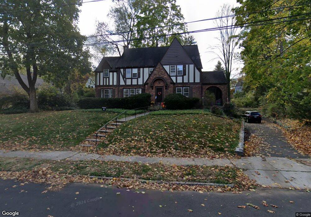
76 Laurel Rd New Britain, CT 06052
Estimated Value: $413,647 - $534,000
5
Beds
3
Baths
2,796
Sq Ft
$163/Sq Ft
Est. Value
About This Home
This home is located at 76 Laurel Rd, New Britain, CT 06052 and is currently estimated at $455,662, approximately $162 per square foot. 76 Laurel Rd is a home located in Hartford County with nearby schools including Lincoln School, Slade Middle School, and Raymond Hill School.
Ownership History
Date
Name
Owned For
Owner Type
Purchase Details
Closed on
May 20, 1997
Sold by
Resnik Ruth
Bought by
Keithline W Wilson and Mazadoorian Beth J
Current Estimated Value
Home Financials for this Owner
Home Financials are based on the most recent Mortgage that was taken out on this home.
Original Mortgage
$128,000
Interest Rate
7.88%
Mortgage Type
Unknown
Create a Home Valuation Report for This Property
The Home Valuation Report is an in-depth analysis detailing your home's value as well as a comparison with similar homes in the area
Home Values in the Area
Average Home Value in this Area
Purchase History
| Date | Buyer | Sale Price | Title Company |
|---|---|---|---|
| Keithline W Wilson | $170,000 | -- |
Source: Public Records
Mortgage History
| Date | Status | Borrower | Loan Amount |
|---|---|---|---|
| Closed | Keithline W Wilson | $128,000 |
Source: Public Records
Tax History
| Year | Tax Paid | Tax Assessment Tax Assessment Total Assessment is a certain percentage of the fair market value that is determined by local assessors to be the total taxable value of land and additions on the property. | Land | Improvement |
|---|---|---|---|---|
| 2025 | $9,717 | $248,010 | $66,920 | $181,090 |
| 2024 | $9,819 | $248,010 | $66,920 | $181,090 |
| 2023 | $9,494 | $248,010 | $66,920 | $181,090 |
| 2022 | $9,120 | $184,240 | $30,800 | $153,440 |
| 2021 | $9,120 | $184,240 | $30,800 | $153,440 |
| 2020 | $9,304 | $184,240 | $30,800 | $153,440 |
| 2019 | $9,304 | $184,240 | $30,800 | $153,440 |
| 2018 | $9,304 | $184,240 | $30,800 | $153,440 |
| 2017 | $9,039 | $178,990 | $31,360 | $147,630 |
| 2016 | $9,039 | $178,990 | $31,360 | $147,630 |
| 2015 | $8,771 | $178,990 | $31,360 | $147,630 |
| 2014 | $8,771 | $178,990 | $31,360 | $147,630 |
Source: Public Records
Map
Nearby Homes
- 38 W End Ave
- 29 S Mountain Dr
- 340 Lincoln St
- 76 S Mountain Dr Unit B
- 26 Chamberlain St
- 168 Black Rock Ave
- 156 Reservoir Rd
- 121 S Mountain Dr
- 139 Lincoln St
- 510 Corbin Ave
- 32 Garden St
- 112 Lincoln St
- 275 Winthrop St
- 207 Roslyn Dr
- 18 Woodruff Ct
- 67 Brooklawn St
- 55 Dogwood Dr
- 19 Wakefield Ct
- 8 Hickory Hill Rd
- 368 Reservoir Rd
- 88 Laurel Rd
- 103 Elbridge Rd
- 89 Elbridge Rd
- 109 Elbridge Rd
- 156 Virginia Ave
- 144 Virginia Ave
- 81 Laurel Rd
- 100 Laurel Rd
- 71 Laurel Rd
- 91 Laurel Rd
- 123 Elbridge Rd
- 99 Laurel Rd
- 65 Elbridge Rd
- 108 Elbridge Rd
- 52 Wightman Rd
- 60 Wightman Rd
- 44 Wightman Rd
- 141 Virginia Ave
- 100 Elbridge Rd
- 149 Virginia Ave
Your Personal Tour Guide
Ask me questions while you tour the home.