76 Macintosh Ln Boxborough, MA 01719
Estimated Value: $463,000 - $485,213
2
Beds
2
Baths
1,291
Sq Ft
$367/Sq Ft
Est. Value
About This Home
This home is located at 76 Macintosh Ln, Boxborough, MA 01719 and is currently estimated at $474,053, approximately $367 per square foot. 76 Macintosh Ln is a home located in Middlesex County with nearby schools including Acton-Boxborough Regional High School.
Ownership History
Date
Name
Owned For
Owner Type
Purchase Details
Closed on
Jun 28, 1991
Sold by
Roy Gergory D and Roy Carol C
Bought by
Mccullough Rita T
Current Estimated Value
Home Financials for this Owner
Home Financials are based on the most recent Mortgage that was taken out on this home.
Original Mortgage
$129,600
Interest Rate
9.44%
Mortgage Type
Purchase Money Mortgage
Create a Home Valuation Report for This Property
The Home Valuation Report is an in-depth analysis detailing your home's value as well as a comparison with similar homes in the area
Home Values in the Area
Average Home Value in this Area
Purchase History
| Date | Buyer | Sale Price | Title Company |
|---|---|---|---|
| Mccullough Rita T | $162,000 | -- |
Source: Public Records
Mortgage History
| Date | Status | Borrower | Loan Amount |
|---|---|---|---|
| Open | Mccullough Rita T | $123,600 | |
| Closed | Mccullough Rita T | $129,600 | |
| Previous Owner | Mccullough Rita T | $30,000 |
Source: Public Records
Tax History
| Year | Tax Paid | Tax Assessment Tax Assessment Total Assessment is a certain percentage of the fair market value that is determined by local assessors to be the total taxable value of land and additions on the property. | Land | Improvement |
|---|---|---|---|---|
| 2025 | $6,382 | $421,500 | $0 | $421,500 |
| 2024 | $5,908 | $394,100 | $0 | $394,100 |
| 2023 | $5,741 | $369,900 | $0 | $369,900 |
| 2022 | $5,017 | $288,000 | $0 | $288,000 |
| 2020 | $5,165 | $308,900 | $0 | $308,900 |
| 2019 | $4,356 | $265,300 | $0 | $265,300 |
| 2018 | $4,228 | $257,200 | $0 | $257,200 |
| 2017 | $4,446 | $264,500 | $0 | $264,500 |
| 2016 | $3,755 | $229,500 | $0 | $229,500 |
| 2015 | $3,425 | $205,700 | $0 | $205,700 |
| 2014 | $3,635 | $205,500 | $0 | $205,500 |
Source: Public Records
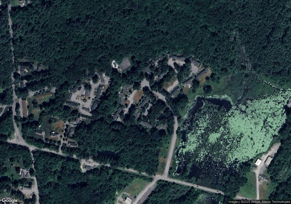
Map
Nearby Homes
- 285 Central St Unit 285
- 235 Arlington St
- 4 Littlefield Rd
- 92 Willow St Unit 3
- 92 Willow St Unit 2
- 90 Willow St Unit 1
- 8 Algonquin Rd
- 5 Perkins Ln
- 20 Joseph Reed Ln
- 77 Wheeler Dr Unit 77
- 60 Nashoba Rd
- 20 Lyons Ln Unit 20
- 40 Fifers Ln
- 79 Charter Rd
- 280 W Acton Rd
- 79 Old Orchard Ln
- 247 W Acton Rd
- 246 Main St Unit 2
- 7 Kelley Rd
- 184 Main St Unit 3
- 78 Macintosh Ln
- 74 Macintosh Ln
- 72 Macintosh Ln
- 74 Macintosh Ln Unit 5B
- 1 Cortland Ln Unit 20
- 70 Macintosh Ln
- 66 Macintosh Ln
- 64 Macintosh Ln
- 66 Macintosh Ln Unit 66
- 66 Macintosh Ln
- 3 Cortland Ln Unit 126
- 12 Cortland Ln Unit 131
- 62 Macintosh Ln
- 60 Macintosh Ln
- 58 Macintosh Ln
- 56 Macintosh Ln
- 58 Macintosh Ln Unit 58
- 58 Macintosh Ln Unit 3-B
- 56 Macintosh Ln Unit 3A
- 9 Cortland Ln Unit 123
Your Personal Tour Guide
Ask me questions while you tour the home.