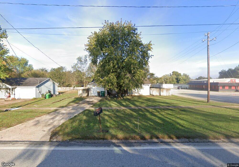
76 Main St West Fork, AR 72774
Estimated Value: $185,000 - $243,000
3
Beds
1
Bath
1,060
Sq Ft
$199/Sq Ft
Est. Value
About This Home
This home is located at 76 Main St, West Fork, AR 72774 and is currently estimated at $210,438, approximately $198 per square foot. 76 Main St is a home located in Washington County with nearby schools including West Fork Elementary School, West Fork Middle School, and West Fork High School.
Ownership History
Date
Name
Owned For
Owner Type
Purchase Details
Closed on
Jul 28, 2006
Sold by
Mclaughlan Brian P and Mclaughlan Elizabeth C
Bought by
Watson Brian L and Watson Michelle R
Current Estimated Value
Home Financials for this Owner
Home Financials are based on the most recent Mortgage that was taken out on this home.
Original Mortgage
$102,000
Outstanding Balance
$68,595
Interest Rate
9.2%
Mortgage Type
Purchase Money Mortgage
Estimated Equity
$141,843
Purchase Details
Closed on
Jul 2, 1994
Bought by
Bolin Linda S
Purchase Details
Closed on
Jul 1, 1994
Bought by
Lazenby William A
Purchase Details
Closed on
Jan 1, 1994
Bought by
Dunlap Louise Formerly and Dunlap Whitfield
Create a Home Valuation Report for This Property
The Home Valuation Report is an in-depth analysis detailing your home's value as well as a comparison with similar homes in the area
Home Values in the Area
Average Home Value in this Area
Purchase History
| Date | Buyer | Sale Price | Title Company |
|---|---|---|---|
| Watson Brian L | $102,000 | Waco Title Company | |
| Bolin Linda S | $55,000 | -- | |
| Lazenby William A | $11,000 | -- | |
| Dunlap Louise Formerly | -- | -- |
Source: Public Records
Mortgage History
| Date | Status | Borrower | Loan Amount |
|---|---|---|---|
| Open | Watson Brian L | $102,000 |
Source: Public Records
Tax History Compared to Growth
Tax History
| Year | Tax Paid | Tax Assessment Tax Assessment Total Assessment is a certain percentage of the fair market value that is determined by local assessors to be the total taxable value of land and additions on the property. | Land | Improvement |
|---|---|---|---|---|
| 2025 | $470 | $34,330 | $7,000 | $27,330 |
| 2024 | $522 | $34,330 | $7,000 | $27,330 |
| 2023 | $556 | $34,330 | $7,000 | $27,330 |
| 2022 | $559 | $19,650 | $3,600 | $16,050 |
| 2021 | $519 | $19,650 | $3,600 | $16,050 |
| 2020 | $478 | $19,650 | $3,600 | $16,050 |
| 2019 | $437 | $15,300 | $3,000 | $12,300 |
| 2018 | $462 | $15,300 | $3,000 | $12,300 |
| 2017 | $439 | $15,300 | $3,000 | $12,300 |
| 2016 | $439 | $15,300 | $3,000 | $12,300 |
| 2015 | $439 | $15,300 | $3,000 | $12,300 |
| 2014 | $476 | $16,000 | $3,800 | $12,200 |
Source: Public Records
Map
Nearby Homes
- 106 Pleasant St
- 121 & 129 Main St
- 0000 Highway 170
- 185 Wheeler St
- 27 Northwood St
- 50 Northwood St
- 253 Mckean Ave
- 11 N Sycamore Ave
- 302 Mcknight Ave
- 212 Redbud Trail
- 321 Cedar Springs Place
- 222 Rivendale Dr
- 340 W Smith St
- 345 McGee Rd
- Springs 1445 Plan at Rolling Plains
- Eureka 1536 Plan at Rolling Plains
- Oak 1463 Plan at Rolling Plains
- Magnolia 1556 Plan at Rolling Plains
- Ashton 1496 Plan at Rolling Plains
- Ouachita 1669 Plan at Rolling Plains