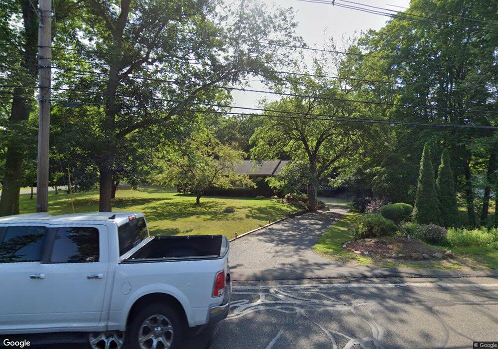
76 Main St Wilbraham, MA 01095
Estimated Value: $350,000 - $398,000
3
Beds
1
Bath
1,456
Sq Ft
$256/Sq Ft
Est. Value
About This Home
This home is located at 76 Main St, Wilbraham, MA 01095 and is currently estimated at $373,181, approximately $256 per square foot. 76 Main St is a home located in Hampden County with nearby schools including Minnechaug Regional High School, St. John the Baptist School, and Wilbraham & Monson Academy.
Ownership History
Date
Name
Owned For
Owner Type
Purchase Details
Closed on
Sep 29, 2003
Sold by
Kasper Albert F and Kasper Theresa Marie
Bought by
Laramee-Santaniello P and Santaniello Robert A
Current Estimated Value
Home Financials for this Owner
Home Financials are based on the most recent Mortgage that was taken out on this home.
Original Mortgage
$180,500
Interest Rate
6.29%
Mortgage Type
Purchase Money Mortgage
Purchase Details
Closed on
Jun 28, 1989
Sold by
Chou Shwee T
Bought by
Kasper Albert F
Home Financials for this Owner
Home Financials are based on the most recent Mortgage that was taken out on this home.
Original Mortgage
$85,900
Interest Rate
10.56%
Mortgage Type
Purchase Money Mortgage
Create a Home Valuation Report for This Property
The Home Valuation Report is an in-depth analysis detailing your home's value as well as a comparison with similar homes in the area
Home Values in the Area
Average Home Value in this Area
Purchase History
| Date | Buyer | Sale Price | Title Company |
|---|---|---|---|
| Laramee-Santaniello P | $190,000 | -- | |
| Kasper Albert F | $135,900 | -- |
Source: Public Records
Mortgage History
| Date | Status | Borrower | Loan Amount |
|---|---|---|---|
| Open | Kasper Albert F | $193,600 | |
| Closed | Laramee-Santaniello P | $180,500 | |
| Previous Owner | Kasper Albert F | $10,000 | |
| Previous Owner | Kasper Albert F | $85,900 |
Source: Public Records
Tax History Compared to Growth
Tax History
| Year | Tax Paid | Tax Assessment Tax Assessment Total Assessment is a certain percentage of the fair market value that is determined by local assessors to be the total taxable value of land and additions on the property. | Land | Improvement |
|---|---|---|---|---|
| 2025 | $5,520 | $308,700 | $81,800 | $226,900 |
| 2024 | $5,298 | $286,400 | $81,800 | $204,600 |
| 2023 | $5,079 | $271,600 | $81,800 | $189,800 |
| 2022 | $4,852 | $236,800 | $81,800 | $155,000 |
| 2021 | $4,516 | $196,700 | $87,400 | $109,300 |
| 2020 | $4,402 | $196,700 | $87,400 | $109,300 |
| 2019 | $4,288 | $196,700 | $87,400 | $109,300 |
| 2018 | $4,073 | $179,900 | $87,400 | $92,500 |
| 2017 | $3,958 | $179,900 | $87,400 | $92,500 |
| 2016 | $3,957 | $183,200 | $97,200 | $86,000 |
| 2015 | $3,825 | $183,200 | $97,200 | $86,000 |
Source: Public Records
Map
Nearby Homes
- 2 Vista Rd
- 54 High Pine Cir
- 35 Lake Dr
- 69 High Pine Cir
- 4 Hillcrest Dr
- 182 Mountain Rd
- 46 Washington Rd
- 28 Decorie Dr
- 20 Old Orchard Rd
- 474-480 Mountain Rd
- 88-90 Miller St
- 2 Bayberry Dr Unit 51
- 474 Mountain Rd
- 38 King Dr
- 8 Patriot Ridge Ln
- 19 Linwood Dr
- 22 Balsam Hill Rd
- 319 Ventura St
- 229 Miller St Unit F-13
- 229 Miller St Unit C-1