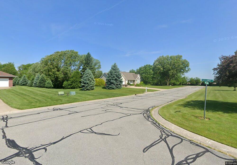
76 Matt Ridge Valparaiso, IN 46383
Porter County NeighborhoodEstimated Value: $483,079 - $635,000
3
Beds
3
Baths
1,913
Sq Ft
$288/Sq Ft
Est. Value
About This Home
This home is located at 76 Matt Ridge, Valparaiso, IN 46383 and is currently estimated at $551,520, approximately $288 per square foot. 76 Matt Ridge is a home located in Porter County with nearby schools including Morgan Township Elementary School, Morgan Township Middle/High School, and Victory Christian Academy.
Ownership History
Date
Name
Owned For
Owner Type
Purchase Details
Closed on
Oct 28, 2005
Sold by
Kobe Carl
Bought by
Kobe Carl and Kobe Marsha
Current Estimated Value
Create a Home Valuation Report for This Property
The Home Valuation Report is an in-depth analysis detailing your home's value as well as a comparison with similar homes in the area
Home Values in the Area
Average Home Value in this Area
Purchase History
| Date | Buyer | Sale Price | Title Company |
|---|---|---|---|
| Kobe Carl | -- | -- |
Source: Public Records
Tax History Compared to Growth
Tax History
| Year | Tax Paid | Tax Assessment Tax Assessment Total Assessment is a certain percentage of the fair market value that is determined by local assessors to be the total taxable value of land and additions on the property. | Land | Improvement |
|---|---|---|---|---|
| 2024 | $2,686 | $426,400 | $78,600 | $347,800 |
| 2023 | $2,940 | $401,500 | $71,500 | $330,000 |
| 2022 | $2,800 | $410,700 | $71,500 | $339,200 |
| 2021 | $2,550 | $352,900 | $71,500 | $281,400 |
| 2020 | $2,334 | $329,500 | $68,000 | $261,500 |
| 2019 | $2,254 | $310,700 | $68,000 | $242,700 |
| 2018 | $2,147 | $305,000 | $68,000 | $237,000 |
| 2017 | $2,151 | $308,500 | $68,000 | $240,500 |
| 2016 | $2,085 | $308,600 | $69,800 | $238,800 |
| 2014 | $2,593 | $311,300 | $67,500 | $243,800 |
| 2013 | -- | $297,800 | $68,300 | $229,500 |
Source: Public Records
Map
Nearby Homes
- 197 Appaloosa Ln
- 323 E 124 S
- 3353 Field Hawk Dr
- 3251 Mockingbird Ln
- 1206 Meadow Glen Dr
- 239 Bayberry Ct
- 372 Radcliff Dr
- 3359 Blue Jay Dr
- 232 E 250 S
- 48 E Division Rd
- 421 Amy Rose Ln
- 279 S State Road 49
- 0 Parcel A 325 E
- 0 Parcel B 325 E
- 501 Eagle Ct
- 168 Jamestown Ave
- 0 Smoke Rd
- 0 Porters Vale Blvd Unit GNR544918
- 0 St Road 2 Unit GNR544911
- 87 Kaper Ln