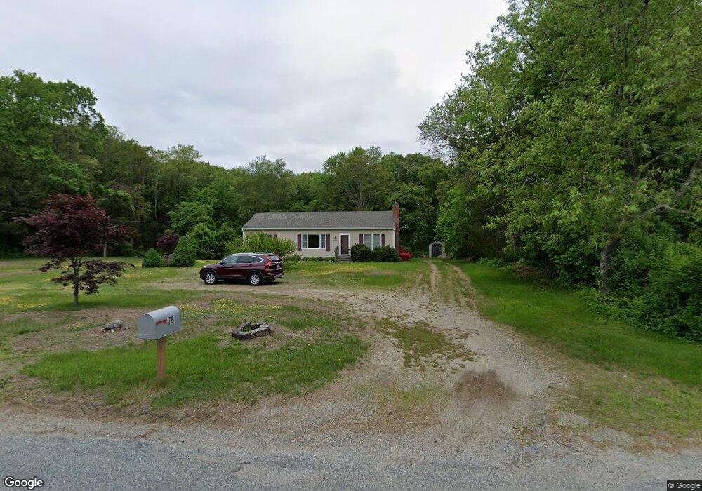
76 Middle Rd Preston, CT 06365
Estimated Value: $381,981 - $503,000
3
Beds
2
Baths
1,744
Sq Ft
$246/Sq Ft
Est. Value
About This Home
This home is located at 76 Middle Rd, Preston, CT 06365 and is currently estimated at $429,495, approximately $246 per square foot. 76 Middle Rd is a home located in New London County with nearby schools including Integrated Day Charter School and St. Bernard School.
Ownership History
Date
Name
Owned For
Owner Type
Purchase Details
Closed on
Apr 27, 2010
Sold by
Citimortgage Inc
Bought by
Tomlinson Kristen L
Current Estimated Value
Home Financials for this Owner
Home Financials are based on the most recent Mortgage that was taken out on this home.
Original Mortgage
$160,000
Outstanding Balance
$106,565
Interest Rate
5%
Estimated Equity
$322,930
Purchase Details
Closed on
Feb 17, 2010
Sold by
Wise Nathan M
Bought by
Citimortgage Inc
Purchase Details
Closed on
Apr 18, 2001
Sold by
Mungo Jamesen A
Bought by
Wise Nathan M and Wise Donna
Create a Home Valuation Report for This Property
The Home Valuation Report is an in-depth analysis detailing your home's value as well as a comparison with similar homes in the area
Home Values in the Area
Average Home Value in this Area
Purchase History
| Date | Buyer | Sale Price | Title Company |
|---|---|---|---|
| Tomlinson Kristen L | $190,000 | -- | |
| Citimortgage Inc | -- | -- | |
| Wise Nathan M | $137,000 | -- |
Source: Public Records
Mortgage History
| Date | Status | Borrower | Loan Amount |
|---|---|---|---|
| Open | Wise Nathan M | $160,000 | |
| Previous Owner | Wise Nathan M | $287,850 |
Source: Public Records
Tax History
| Year | Tax Paid | Tax Assessment Tax Assessment Total Assessment is a certain percentage of the fair market value that is determined by local assessors to be the total taxable value of land and additions on the property. | Land | Improvement |
|---|---|---|---|---|
| 2025 | $4,973 | $198,030 | $49,630 | $148,400 |
| 2024 | $4,628 | $198,030 | $49,630 | $148,400 |
| 2023 | $4,545 | $198,030 | $49,630 | $148,400 |
| 2022 | $3,831 | $137,400 | $43,300 | $94,100 |
| 2021 | $3,702 | $137,400 | $43,300 | $94,100 |
| 2020 | $3,696 | $137,400 | $43,300 | $94,100 |
| 2019 | $3,631 | $137,400 | $43,300 | $94,100 |
| 2018 | $3,577 | $137,400 | $43,300 | $94,100 |
| 2017 | $3,610 | $150,400 | $43,300 | $107,100 |
| 2016 | $3,572 | $150,400 | $43,300 | $107,100 |
| 2015 | $3,459 | $150,400 | $43,300 | $107,100 |
| 2014 | $3,480 | $150,400 | $43,300 | $107,100 |
Source: Public Records
Map
Nearby Homes
- 7 Barn Rd
- 104 Route 2a
- 36 Route 2a
- 11 Willow Ln
- 15 Paster Rd
- 31 Woodland Dr
- 552 Laurel Hill Rd
- 5 Mount Laurel Rd
- 55 Bentley Ave
- 547 Old Laurel Hill Rd
- 278 Palmer Street Extension
- 3 Holdsworth Rd
- 105 Stonington Rd
- 68 Thermos Ave Unit 222
- 9 Bushnell Place
- 7 Rose St
- 9 Thames Terrace
- 26 Kinney Ave
- 158 W Thames St
- 39 Tanner Ave
Your Personal Tour Guide
Ask me questions while you tour the home.