76 Myles Standish Rd Weston, MA 02493
Estimated Value: $2,161,756 - $2,520,000
5
Beds
3
Baths
3,800
Sq Ft
$618/Sq Ft
Est. Value
About This Home
This home is located at 76 Myles Standish Rd, Weston, MA 02493 and is currently estimated at $2,349,939, approximately $618 per square foot. 76 Myles Standish Rd is a home located in Middlesex County with nearby schools including Country Elementary School, Woodland Elementary School, and Weston Middle School.
Ownership History
Date
Name
Owned For
Owner Type
Purchase Details
Closed on
Jul 29, 2025
Sold by
Luzzi David E and Luzzi Marla A
Bought by
Luzzi Ret and Luzzi
Current Estimated Value
Purchase Details
Closed on
Sep 7, 2007
Sold by
Jdt Nt and Tagliente
Bought by
Luzzi David E and Luzzi Marla A
Home Financials for this Owner
Home Financials are based on the most recent Mortgage that was taken out on this home.
Original Mortgage
$1,196,000
Interest Rate
6.74%
Mortgage Type
Purchase Money Mortgage
Purchase Details
Closed on
Jul 2, 1990
Sold by
Spector Sally G
Bought by
Jdt Nt
Create a Home Valuation Report for This Property
The Home Valuation Report is an in-depth analysis detailing your home's value as well as a comparison with similar homes in the area
Home Values in the Area
Average Home Value in this Area
Purchase History
| Date | Buyer | Sale Price | Title Company |
|---|---|---|---|
| Luzzi Ret | -- | -- | |
| Luzzi David E | $1,495,000 | -- | |
| Luzzi David E | $1,495,000 | -- | |
| Jdt Nt | $500,000 | -- | |
| Jdt Nt | $500,000 | -- |
Source: Public Records
Mortgage History
| Date | Status | Borrower | Loan Amount |
|---|---|---|---|
| Previous Owner | Jdt Nt | $1,200,000 | |
| Previous Owner | Luzzi David E | $1,196,000 | |
| Previous Owner | Jdt Nt | $500,000 |
Source: Public Records
Tax History Compared to Growth
Tax History
| Year | Tax Paid | Tax Assessment Tax Assessment Total Assessment is a certain percentage of the fair market value that is determined by local assessors to be the total taxable value of land and additions on the property. | Land | Improvement |
|---|---|---|---|---|
| 2025 | $19,736 | $1,778,000 | $960,600 | $817,400 |
| 2024 | $19,368 | $1,741,700 | $960,600 | $781,100 |
| 2023 | $19,532 | $1,649,700 | $960,600 | $689,100 |
| 2022 | $19,347 | $1,510,300 | $920,600 | $589,700 |
| 2021 | $9,843 | $1,435,300 | $873,200 | $562,100 |
| 2020 | $17,932 | $1,397,700 | $873,200 | $524,500 |
| 2019 | $17,522 | $1,391,700 | $873,200 | $518,500 |
| 2018 | $17,410 | $1,391,700 | $873,200 | $518,500 |
| 2017 | $17,350 | $1,399,200 | $873,200 | $526,000 |
| 2016 | $17,014 | $1,399,200 | $873,200 | $526,000 |
| 2015 | $16,192 | $1,318,600 | $831,800 | $486,800 |
Source: Public Records
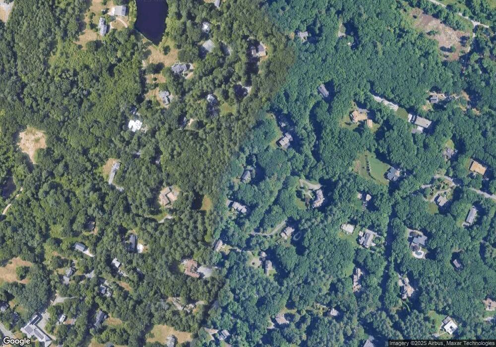
Map
Nearby Homes
- 66 Myles Standish Rd
- 75 Myles Standish Rd
- 65 Myles Standish Rd
- 56 Myles Standish Rd
- 55 Myles Standish Rd
- 471 Conant Rd
- 469 Conant Rd
- 475 Conant Rd
- 461 Conant Rd
- 445 Conant Rd
- 118 Kings Grant Rd
- 118 Kings Grant Rd Unit 118
- 85 Myles Standish Rd
- 19 Plymouth Rd
- 134 Kings Grant Rd
- 100 Kings Grant Rd
- 479 Conant Rd
- 429 Conant Rd
- 470 Conant Rd
- 474 Conant Rd