76 N Hatfield St Dayton, OH 45417
Westwood Neighborhood
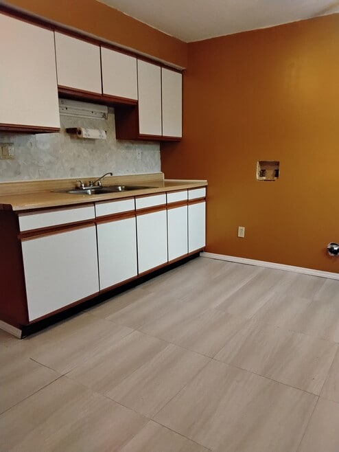
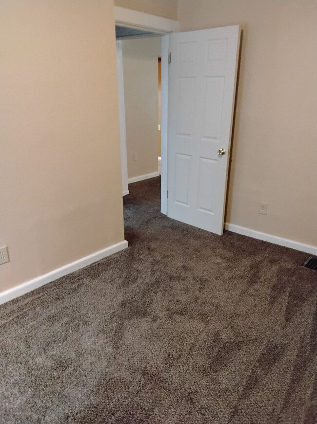
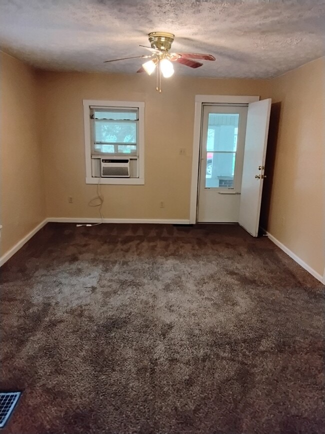
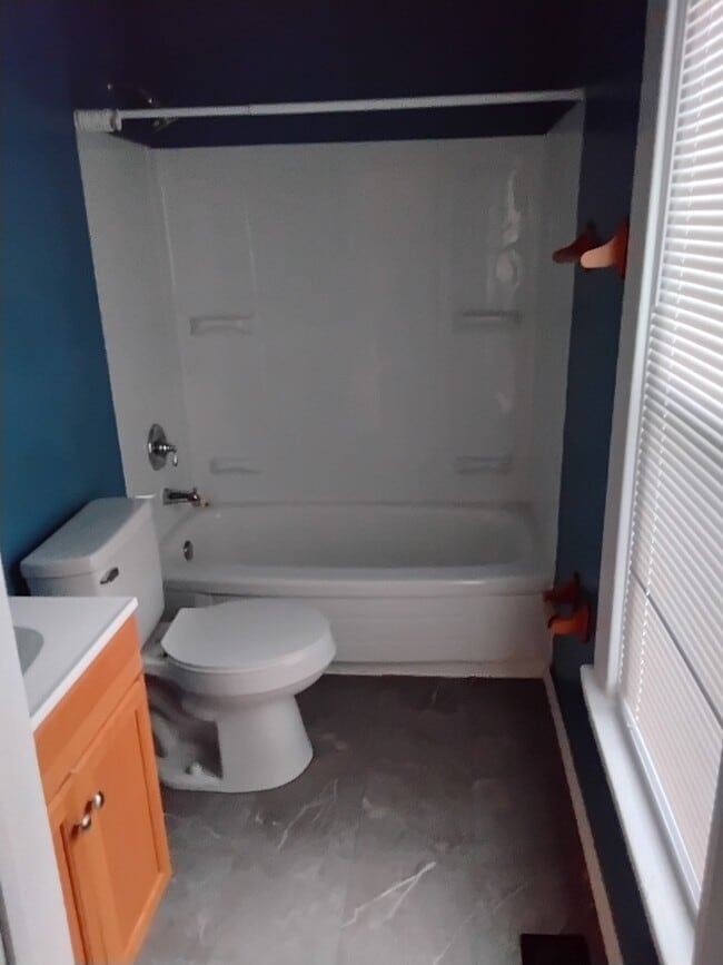
2
Beds
1
Bath
980
Sq Ft
8,843
Sq Ft Lot
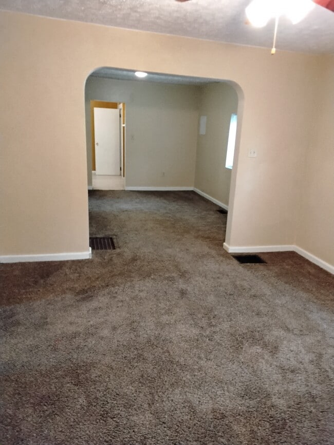
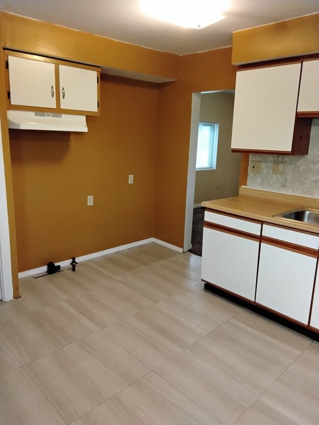
About This Home
2 bedroom, living room, dining room, 1 bath, partial basement, detached 1 car garage, and fenced back yard. Quiet neighborhood.
Listing Provided By

Map
Nearby Homes
- 79 N Alder St
- 432 N Gettysburg Ave
- 19 S Alder St Unit 21
- 0 N Gettysburg Ave
- 45 S Trenton St
- 222 N Decker Ave
- 314 N Upland Ave Unit 312
- 361 Roxbury Rd
- 4126 Sylvan Dr
- 309 Leland Ave
- 425 Elmhurst Rd
- 227 Walton Ave
- 911 N Gettysburg Ave
- 4309 Sylvan Dr
- 2816 Oakridge Dr
- 532 Crestmore Ave
- 109 Brooklyn Ave
- 305 Westwood Ave
- 221 Brooklyn Ave
- 2905 W Third St
- 803 N Gettysburg Ave
- 500 Bowie Dr
- 612 Ingram St Unit 610
- 44 Bluecrest Ave
- 2900 Sage Ave
- 391 Liscum Dr
- 685 Randolph St Unit 685
- 921 Dennison Ave
- 1385 Guenther Rd
- 718 Randolph St
- 1213 Canfield Ave
- 4976 Marburn Ave
- 5021 Marburn Ave
- 1112 Dennison Ave
- 2706 Oxford Ave Unit 4
- 1257 Wilson Dr
- 3771 Cornell Dr
- 3672 Karwin Dr Unit 3672
- 121 Gordon Ave
- 3633 Karwin Dr Unit 3629