76 Navajo Cir Divide, CO 80814
4
Beds
2
Baths
1,152
Sq Ft
2.77
Acres Lot
About This Home
This home is located at 76 Navajo Cir, Divide, CO 80814. 76 Navajo Cir is a home located in Teller County with nearby schools including Woodland Park Junior/Senior High School and Merit Academy.
Create a Home Valuation Report for This Property
The Home Valuation Report is an in-depth analysis detailing your home's value as well as a comparison with similar homes in the area
Home Values in the Area
Average Home Value in this Area
Tax History
| Year | Tax Paid | Tax Assessment Tax Assessment Total Assessment is a certain percentage of the fair market value that is determined by local assessors to be the total taxable value of land and additions on the property. | Land | Improvement |
|---|---|---|---|---|
| 2025 | $1,212 | $18,360 | $3,689 | $14,671 |
| 2024 | $1,212 | $12,090 | $2,310 | $9,780 |
| 2023 | $752 | $12,090 | $2,310 | $9,780 |
| 2022 | $744 | $13,280 | $1,970 | $11,310 |
| 2021 | $767 | $13,660 | $2,020 | $11,640 |
| 2020 | $706 | $12,850 | $2,250 | $10,600 |
| 2019 | $698 | $12,850 | $0 | $0 |
| 2018 | $415 | $7,400 | $0 | $0 |
| 2017 | $415 | $7,400 | $0 | $0 |
| 2016 | $448 | $7,950 | $0 | $0 |
| 2015 | $503 | $7,950 | $0 | $0 |
| 2014 | $629 | $9,800 | $0 | $0 |
Source: Public Records
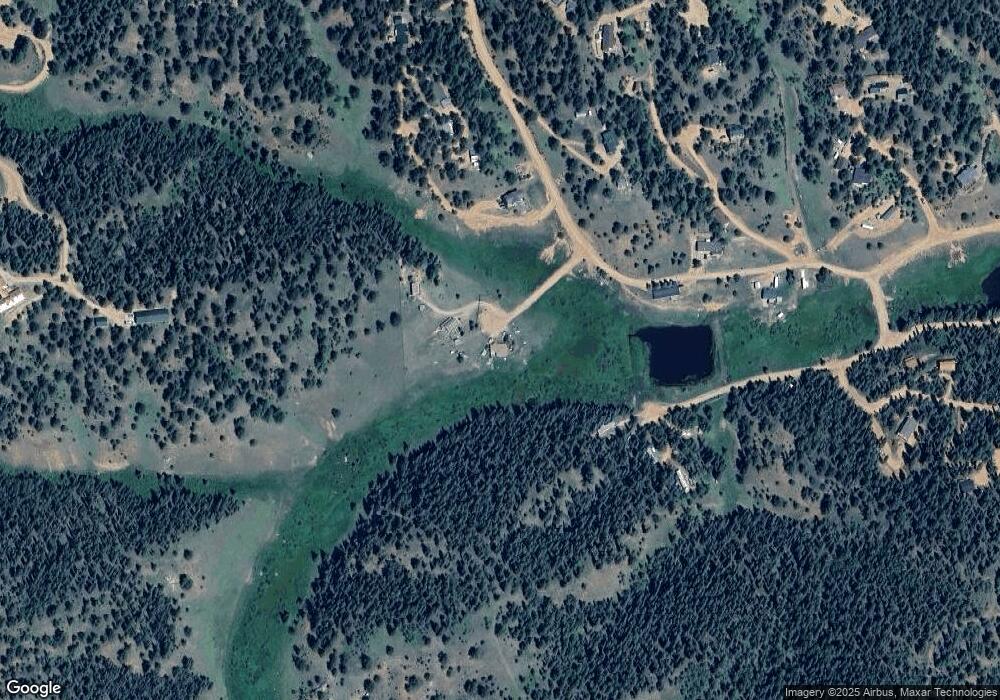
Map
Nearby Homes
- 45 Valley Cir
- 514 Hopi Cir
- 860 Spring Valley Dr Unit 13
- 164 Aspen Cir
- 810 Ridge Rd
- 377 Ridge Rd
- 702 Lake Dr
- 164 Spring Valley Cir
- 341 Rainbow Trail
- 56 Blue Jay Ln
- 85 Remwood Cir
- 47 Aspen Rd
- 784 Blossom Rd
- 310 Blossom Rd
- 110 Gentian Rd
- 374 Fern Rd
- 169 Daisy St
- 6500 Cr 5 Rd
- 309 Pinaceae Heights
- 284 County Road 511
- 61 Navajo Cir
- 114 Apache Trail
- 257 Shadow Lake Dr
- 257 Shadow Lake Dr Unit 5
- 353 Shadow Lake Dr
- 74 Apache Trail
- 238 Shadow Lake Dr
- 157 Shadow Lake Dr
- 354 Shadow Lake Dr
- 87 Apache Trail Unit 55054116
- 87 Apache Trail
- 385 Shadow Lake Dr
- 36 Apache Trail
- 417 Shadow Lake Dr
- 550 Shadow Lake Dr
- 68 Cherokee Cir
- 616 Spring Valley Dr
- 69 Valley Cir
- 93 Valley Cir
- 65 Shadow Lake Dr
Your Personal Tour Guide
Ask me questions while you tour the home.