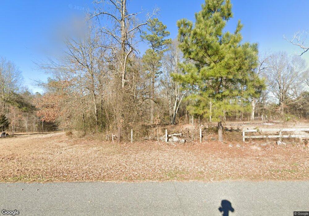
76 Pate Rd Arkadelphia, AR 71923
Estimated Value: $302,000 - $401,000
--
Bed
3
Baths
3,043
Sq Ft
$116/Sq Ft
Est. Value
About This Home
This home is located at 76 Pate Rd, Arkadelphia, AR 71923 and is currently estimated at $352,019, approximately $115 per square foot. 76 Pate Rd is a home located in Clark County with nearby schools including Louisa Perritt Primary School, Peake Elementary School, and Central Primary School.
Ownership History
Date
Name
Owned For
Owner Type
Purchase Details
Closed on
Jun 21, 2005
Bought by
Pate Charles Marvin and Pate Sheryl
Current Estimated Value
Purchase Details
Closed on
Mar 24, 2005
Bought by
Pate Charles Marvin and Pate Sheryl
Purchase Details
Closed on
Sep 1, 1996
Bought by
Wheeler Glenn and Leamon Dorsey
Purchase Details
Closed on
May 1, 1992
Bought by
Wheeler Glenn and Leamon Dorsey
Purchase Details
Closed on
Sep 1, 1990
Bought by
Wheeler Glenn and Leamon Dorsey
Purchase Details
Closed on
Jan 1, 1901
Bought by
Wheeler Glenn and Leamon Dorsey
Create a Home Valuation Report for This Property
The Home Valuation Report is an in-depth analysis detailing your home's value as well as a comparison with similar homes in the area
Home Values in the Area
Average Home Value in this Area
Purchase History
| Date | Buyer | Sale Price | Title Company |
|---|---|---|---|
| Pate Charles Marvin | -- | -- | |
| Pate Charles Marvin | $41,000 | -- | |
| Wheeler Glenn | $11,000 | -- | |
| Wheeler Glenn | -- | -- | |
| Wheeler Glenn | $12,000 | -- | |
| Wheeler Glenn | $44,000 | -- | |
| Wheeler Glenn | -- | -- |
Source: Public Records
Tax History Compared to Growth
Tax History
| Year | Tax Paid | Tax Assessment Tax Assessment Total Assessment is a certain percentage of the fair market value that is determined by local assessors to be the total taxable value of land and additions on the property. | Land | Improvement |
|---|---|---|---|---|
| 2024 | $2,187 | $51,920 | $1,140 | $50,780 |
| 2023 | $2,262 | $51,920 | $1,140 | $50,780 |
| 2022 | $2,312 | $51,920 | $1,140 | $50,780 |
| 2021 | $2,312 | $51,920 | $1,140 | $50,780 |
| 2020 | $2,312 | $51,920 | $1,140 | $50,780 |
| 2019 | $2,625 | $57,970 | $1,150 | $56,820 |
| 2018 | $2,621 | $57,970 | $1,150 | $56,820 |
| 2017 | $2,621 | $57,970 | $1,150 | $56,820 |
| 2016 | $2,621 | $57,970 | $1,150 | $56,820 |
| 2015 | $2,621 | $57,970 | $1,150 | $56,820 |
| 2014 | $2,319 | $58,660 | $1,220 | $57,440 |
Source: Public Records
Map
Nearby Homes
- 0000 Roy Rd
- 0 Mosley Rd
- 0 Old Military Rd
- TBD Cedar Grove Rd
- 6961 Arkansas 8
- 5524 Arkansas 8
- 7 Ridge Creek Point
- 746 Unity Rd
- Lot 5 Old Military Rd
- Lot 12 Old Military Rd
- Lot 7 Old Military Rd
- Lot 8 Old Military Rd
- Lot 4 Old Military Rd
- 198 Lower Dam Pike
- 100 Canterbury Ln
- 43 Tracelwood Dr
- 164 Hot Springs Dr
- 166 Lower Dam Pike
- 2 Western Hills Dr
- 117 Shepherd Loop Dr
