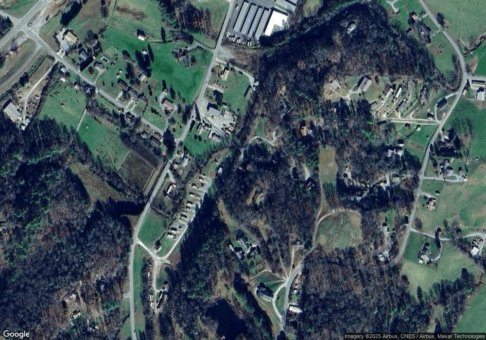
76 Peter Weaver Creek Rd Brevard, NC 28712
Estimated Value: $390,000 - $470,990
2
Beds
2
Baths
2,400
Sq Ft
$180/Sq Ft
Est. Value
About This Home
This home is located at 76 Peter Weaver Creek Rd, Brevard, NC 28712 and is currently estimated at $431,248, approximately $179 per square foot. 76 Peter Weaver Creek Rd is a home located in Transylvania County.
Ownership History
Date
Name
Owned For
Owner Type
Purchase Details
Closed on
Jun 15, 2015
Sold by
Holden Perry D and Holden Deborah R
Bought by
Sacco John W and Sacco Susan Nicole
Current Estimated Value
Home Financials for this Owner
Home Financials are based on the most recent Mortgage that was taken out on this home.
Original Mortgage
$132,000
Outstanding Balance
$104,028
Interest Rate
4.25%
Mortgage Type
Adjustable Rate Mortgage/ARM
Estimated Equity
$327,220
Purchase Details
Closed on
Aug 27, 2008
Sold by
Stamey Shannon Eugene and Stamey Loti Beaman
Bought by
Holden Perry Dale and Holden Deborah Renee
Home Financials for this Owner
Home Financials are based on the most recent Mortgage that was taken out on this home.
Original Mortgage
$203,816
Interest Rate
6.21%
Mortgage Type
FHA
Create a Home Valuation Report for This Property
The Home Valuation Report is an in-depth analysis detailing your home's value as well as a comparison with similar homes in the area
Home Values in the Area
Average Home Value in this Area
Purchase History
| Date | Buyer | Sale Price | Title Company |
|---|---|---|---|
| Sacco John W | $130,000 | None Available | |
| Holden Perry Dale | $206,000 | None Available |
Source: Public Records
Mortgage History
| Date | Status | Borrower | Loan Amount |
|---|---|---|---|
| Open | Sacco John W | $132,000 | |
| Previous Owner | Holden Perry Dale | $203,816 |
Source: Public Records
Tax History
| Year | Tax Paid | Tax Assessment Tax Assessment Total Assessment is a certain percentage of the fair market value that is determined by local assessors to be the total taxable value of land and additions on the property. | Land | Improvement |
|---|---|---|---|---|
| 2025 | $2,106 | $438,390 | $30,000 | $408,390 |
| 2024 | $1,542 | $234,300 | $30,000 | $204,300 |
| 2023 | $1,542 | $234,300 | $30,000 | $204,300 |
| 2022 | $1,542 | $234,300 | $30,000 | $204,300 |
| 2021 | $1,531 | $234,300 | $30,000 | $204,300 |
| 2020 | $1,309 | $188,120 | $0 | $0 |
| 2019 | $1,300 | $188,120 | $0 | $0 |
| 2018 | $1,189 | $190,670 | $0 | $0 |
| 2017 | $1,195 | $190,670 | $0 | $0 |
| 2016 | $1,182 | $190,670 | $0 | $0 |
| 2015 | $947 | $205,890 | $30,000 | $175,890 |
| 2014 | $947 | $205,890 | $30,000 | $175,890 |
Source: Public Records
Map
Nearby Homes
- 522 Calvert Rd
- 0000 Israel Rd
- 426, 428 Weaver Creek Rd
- 000 Old Rosman Hwy
- 000 Lyons Mountain Rd
- Lot 10 Joshua Rd
- 106 Avian Ct
- 4277 Pickens Hwy
- 195 Still Waters Ln
- 914 Catheys Creek Church Rd
- 000 Rosman Wwtp Rd
- 195 Whitmire Rd
- 33 N Shadow Run
- 370 Moons Rest Ln
- 96 Habitat Way
- TBD Rosman Hwy
- Lot 3 Walnut Hollow Rd
- 212 Jayhawk Ln
- 146 and 148 Monteith Rd
- TBD Tsiya Ct
- 78 Peter Weaver Creek Rd
- 121 Peter Weaver Creek Rd
- 603 Old Rosman Hwy
- 555 Old Rosman Hwy
- 76 Cline Anders Dr
- 138 Peter Weaver Creek Rd
- 509 Old Rosman Hwy
- 0 Cassell Rd
- 119 Peter Weaver Creek Rd
- 630 Calvert Rd
- 78 Cline Anders Dr
- 890 Calvert Rd
- 896 Calvert Rd
- 228 Cassell Rd
- 225 Cassell Rd
- 479 Old Rosman Hwy
- 125 Kant Hardly Farm Dr
- 466 Old Rosman Hwy
- 179 Cassell Rd
- 174 Cassell Rd
Your Personal Tour Guide
Ask me questions while you tour the home.
