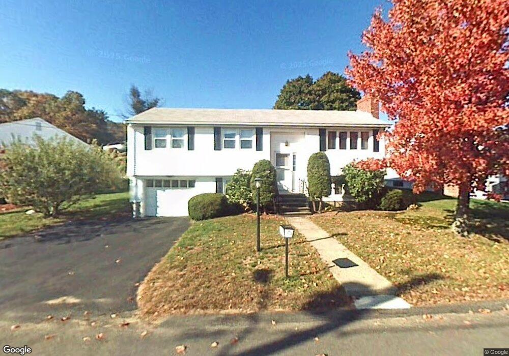
76 Phillips Cir Waltham, MA 02452
North Waltham NeighborhoodEstimated Value: $813,133 - $948,000
3
Beds
3
Baths
1,853
Sq Ft
$483/Sq Ft
Est. Value
About This Home
This home is located at 76 Phillips Cir, Waltham, MA 02452 and is currently estimated at $895,283, approximately $483 per square foot. 76 Phillips Cir is a home located in Middlesex County with nearby schools including Northeast Elementary School, John F Kennedy Middle School, and Waltham Sr High School.
Ownership History
Date
Name
Owned For
Owner Type
Purchase Details
Closed on
Dec 30, 2019
Sold by
Huang Zen S and Huang Shu C
Bought by
76 Phillips Waltham Rt
Current Estimated Value
Purchase Details
Closed on
Apr 13, 1988
Sold by
Wei Ta Trust
Bought by
Huang Zen-Soun
Home Financials for this Owner
Home Financials are based on the most recent Mortgage that was taken out on this home.
Original Mortgage
$88,000
Interest Rate
9.78%
Mortgage Type
Purchase Money Mortgage
Create a Home Valuation Report for This Property
The Home Valuation Report is an in-depth analysis detailing your home's value as well as a comparison with similar homes in the area
Home Values in the Area
Average Home Value in this Area
Purchase History
| Date | Buyer | Sale Price | Title Company |
|---|---|---|---|
| 76 Phillips Waltham Rt | -- | None Available | |
| Huang Zen-Soun | $208,000 | -- |
Source: Public Records
Mortgage History
| Date | Status | Borrower | Loan Amount |
|---|---|---|---|
| Previous Owner | Huang Zen-Soun | $88,000 |
Source: Public Records
Tax History
| Year | Tax Paid | Tax Assessment Tax Assessment Total Assessment is a certain percentage of the fair market value that is determined by local assessors to be the total taxable value of land and additions on the property. | Land | Improvement |
|---|---|---|---|---|
| 2025 | $6,871 | $699,700 | $422,700 | $277,000 |
| 2024 | $6,516 | $675,900 | $402,900 | $273,000 |
| 2023 | $6,448 | $624,800 | $366,300 | $258,500 |
| 2022 | $6,765 | $607,300 | $358,900 | $248,400 |
| 2021 | $6,537 | $577,500 | $344,300 | $233,200 |
| 2020 | $6,250 | $523,000 | $322,300 | $200,700 |
| 2019 | $6,354 | $501,900 | $308,500 | $193,400 |
| 2018 | $5,550 | $440,100 | $285,700 | $154,400 |
| 2017 | $5,206 | $414,500 | $260,100 | $154,400 |
| 2016 | $4,939 | $403,500 | $249,100 | $154,400 |
| 2015 | $5,005 | $381,200 | $223,400 | $157,800 |
Source: Public Records
Map
Nearby Homes
- 100 Shirley Rd
- 43 Agassiz Ave
- 50 Moraine St
- 51 Harrington St Unit 51
- 43-43A Chandler St
- 40 Knowles Rd
- 918 Belmont St
- 49 Pierce Rd Unit 49
- 144-146 White St
- 314 Lexington St
- 78 Barbara Rd Unit 1
- 52 Hawthorne St Unit 1
- 38 Carey Ave Unit 3
- 38 Carey Ave Unit 6
- 133 Warren St Unit 3
- 32 Whitman Rd Unit 1-4
- 31 Warren St Unit B-1
- 21 Warren St Unit 2-4
- 194 Lexington St Unit 1
- 9 Henry St Unit 9
- 84 Phillips Cir
- 72 Phillips Cir
- 26 Tip Top Terrace
- 20 Tip Top Terrace
- 94 Phillips Cir
- 71 Phillips Cir
- 8 Shawmut Rd
- 66 Phillips Cir
- 30 Tip Top Terrace
- 67 Phillips Cir
- 54 Parkview Rd
- 30 Shawmut Rd
- 61 Phillips Cir
- 46 Parkview Rd
- 9 Shawmut Rd
- 60 Phillips Cir
- 21 Shawmut Rd
- 19 Tip Top Terrace
- 7 Phillips Cir
- 34 Tip Top Terrace
Your Personal Tour Guide
Ask me questions while you tour the home.