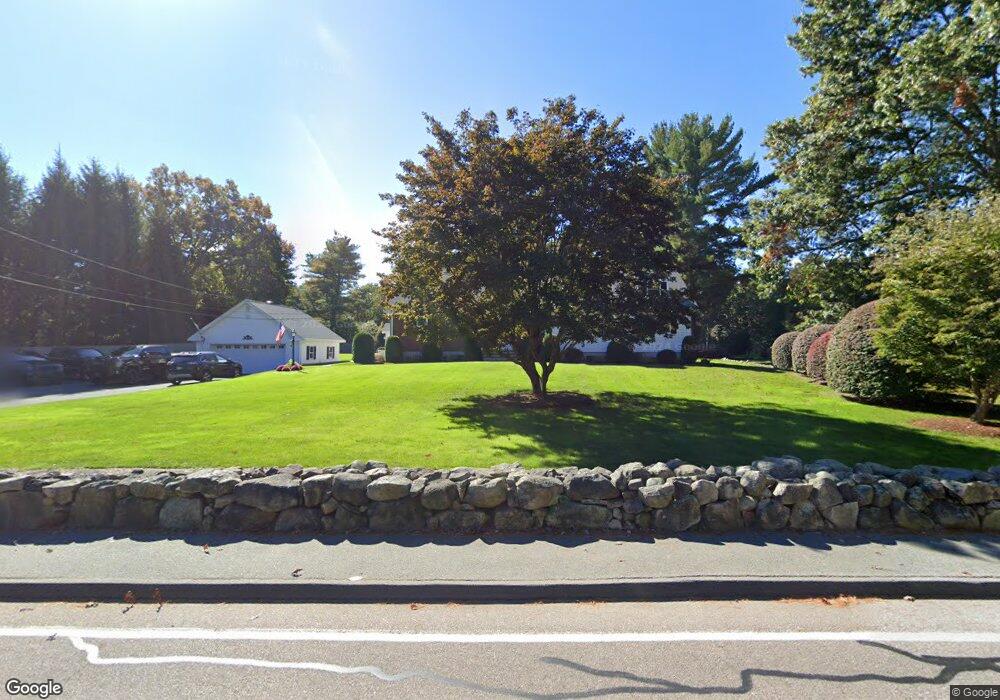
76 Randall St North Easton, MA 02356
Estimated Value: $809,555 - $918,000
3
Beds
3
Baths
2,439
Sq Ft
$361/Sq Ft
Est. Value
About This Home
This home is located at 76 Randall St, North Easton, MA 02356 and is currently estimated at $881,639, approximately $361 per square foot. 76 Randall St is a home located in Bristol County with nearby schools including Easton Middle School and Oliver Ames High School.
Ownership History
Date
Name
Owned For
Owner Type
Purchase Details
Closed on
Jan 19, 2017
Sold by
Marathas Susan A
Bought by
Marathas Susan A and Gendreau Edmund R
Current Estimated Value
Home Financials for this Owner
Home Financials are based on the most recent Mortgage that was taken out on this home.
Original Mortgage
$185,000
Outstanding Balance
$89,557
Interest Rate
3.36%
Mortgage Type
New Conventional
Estimated Equity
$792,082
Create a Home Valuation Report for This Property
The Home Valuation Report is an in-depth analysis detailing your home's value as well as a comparison with similar homes in the area
Home Values in the Area
Average Home Value in this Area
Purchase History
| Date | Buyer | Sale Price | Title Company |
|---|---|---|---|
| Marathas Susan A | -- | -- | |
| Marathas Susan A | -- | -- |
Source: Public Records
Mortgage History
| Date | Status | Borrower | Loan Amount |
|---|---|---|---|
| Open | Marathas Susan A | $185,000 |
Source: Public Records
Tax History Compared to Growth
Tax History
| Year | Tax Paid | Tax Assessment Tax Assessment Total Assessment is a certain percentage of the fair market value that is determined by local assessors to be the total taxable value of land and additions on the property. | Land | Improvement |
|---|---|---|---|---|
| 2025 | $9,234 | $739,900 | $365,500 | $374,400 |
| 2024 | $9,397 | $703,900 | $331,400 | $372,500 |
| 2023 | $9,494 | $650,700 | $331,400 | $319,300 |
| 2022 | $9,015 | $585,800 | $274,900 | $310,900 |
| 2021 | $8,807 | $568,900 | $258,000 | $310,900 |
| 2020 | $8,422 | $547,600 | $248,000 | $299,600 |
| 2019 | $8,721 | $546,400 | $248,000 | $298,400 |
| 2018 | $8,559 | $528,000 | $248,000 | $280,000 |
| 2017 | $7,810 | $481,500 | $248,000 | $233,500 |
| 2016 | $7,760 | $479,300 | $248,000 | $231,300 |
| 2015 | $7,284 | $434,100 | $205,600 | $228,500 |
| 2014 | $7,189 | $431,800 | $200,500 | $231,300 |
Source: Public Records
Map
Nearby Homes
- 15 Randall Farm Dr
- 45 Randall St
- 32 Heritage Dr
- 25 Andrews Farm Rd
- 114 Summer St
- 79 Summer St
- 73 Summer St
- 20 Quarry Ln
- 9 Oak Ridge Dr
- 120 Sheridan St
- 295 Lincoln St
- 33 Coughlin Rd
- 16 Whittier Ln
- 22 Pammys Path
- 117 Center St
- 221 Center St
- 104 Center St Unit 104
- 81 Rockland St
- 275 Center St
- 11 Olde Stable Ln
- 3 Fall Ln
- 80 Randall St
- 80 Randall St
- 581 & 585 Depot St
- LOT 6 Winterberry Hills
- Homesite B Tanglewood Estates
- Homesite 13 Tanglewood Estates- Spec
- LOT 14 Winterberry Hills
- Lot B Tanglewood Estates
- Lot 25 Tanglewood Estates
- LOT 16 Winterberry Hills
- 6 Harmony Tanglewood Estates
- Homesite 19 Tanglewood Estates
- Homesite 25 Tanglewood Estates
- Homesite 22 Tanglewood Estates
- Homesite 23 Tanglewood Estates
- Homesite 27 Tanglewood Estates
- Homesite 26 Tanglewood Estates
- Homesite 12 Tanglewood Estates
- Homesite 11 Tanglewood Estates