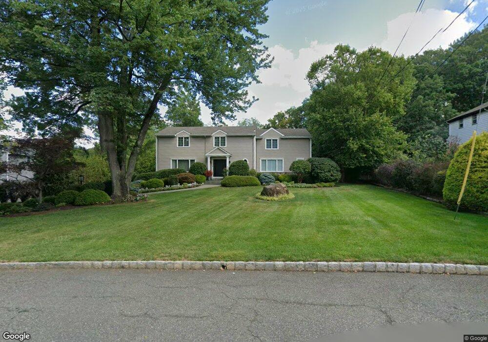
76 Rockledge Dr Livingston, NJ 07039
Estimated Value: $1,759,000 - $2,016,000
--
Bed
--
Bath
3,261
Sq Ft
$571/Sq Ft
Est. Value
About This Home
This home is located at 76 Rockledge Dr, Livingston, NJ 07039 and is currently estimated at $1,861,936, approximately $570 per square foot. 76 Rockledge Dr is a home located in Essex County with nearby schools including Livingston Sr High School and Aquinas Academy.
Ownership History
Date
Name
Owned For
Owner Type
Purchase Details
Closed on
Apr 22, 2004
Current Estimated Value
Purchase Details
Closed on
Jun 27, 1996
Sold by
Tompkins Regina
Bought by
Segal Bradley and Segal Melissa
Home Financials for this Owner
Home Financials are based on the most recent Mortgage that was taken out on this home.
Original Mortgage
$426,000
Interest Rate
8.37%
Create a Home Valuation Report for This Property
The Home Valuation Report is an in-depth analysis detailing your home's value as well as a comparison with similar homes in the area
Home Values in the Area
Average Home Value in this Area
Purchase History
| Date | Buyer | Sale Price | Title Company |
|---|---|---|---|
| -- | -- | -- | |
| Segal Bradley | $473,000 | -- |
Source: Public Records
Mortgage History
| Date | Status | Borrower | Loan Amount |
|---|---|---|---|
| Previous Owner | Segal Bradley | $426,000 |
Source: Public Records
Tax History Compared to Growth
Tax History
| Year | Tax Paid | Tax Assessment Tax Assessment Total Assessment is a certain percentage of the fair market value that is determined by local assessors to be the total taxable value of land and additions on the property. | Land | Improvement |
|---|---|---|---|---|
| 2025 | $26,415 | $1,113,600 | $465,400 | $648,200 |
| 2024 | $26,415 | $1,113,600 | $465,400 | $648,200 |
| 2022 | $25,980 | $1,113,600 | $465,400 | $648,200 |
| 2021 | $25,769 | $1,113,600 | $465,400 | $648,200 |
| 2020 | $25,290 | $1,113,600 | $465,400 | $648,200 |
| 2019 | $25,273 | $966,100 | $485,400 | $480,700 |
| 2018 | $24,935 | $966,100 | $485,400 | $480,700 |
| 2017 | $24,607 | $966,100 | $485,400 | $480,700 |
| 2016 | $24,153 | $966,100 | $485,400 | $480,700 |
| 2015 | $23,795 | $966,100 | $485,400 | $480,700 |
| 2014 | $23,022 | $966,100 | $485,400 | $480,700 |
Source: Public Records
Map
Nearby Homes
- 53 Rockledge Dr
- 11 Homestead Terrace
- 24 Cliffside Dr
- 53 Morningside Dr
- 354 Beaufort Ave
- 5101 Pointe Gate Dr Unit 101
- 6 Mayhew Dr
- 41 W Mcclellan Ave
- 4403 Pointe Gate Dr
- 52 Congressional Pkwy
- 141 Madison Ct
- 37 Filmore Ave
- 19 Hearthstone Terrace
- 44 Lincoln Ave
- 27 Filmore Ave
- 61 Hazel Ave
- 518 Eagle Rock Ave
- 224 W Mount Pleasant Ave
- 63 N Livingston Ave
- 27 3rd Ave
- 74 Rockledge Dr
- 78 Rockledge Dr
- 72 Rockledge Dr
- 80 Rockledge Dr
- 71 Rockledge Dr
- 69 Rockledge Dr
- 70 Rockledge Dr
- 5 Centennial Rd
- 73 Rockledge Dr
- 67 Rockledge Dr
- 75 Rockledge Dr
- 68 Rockledge Dr
- 77 Rockledge Dr
- 82 N Rockledge Dr
- 4 Centennial Rd
- 3 Centennial Rd
- 66 Rockledge Dr
- 65 Rockledge Dr
- 81 N Rockledge Dr
- 76 N Hillside Ave