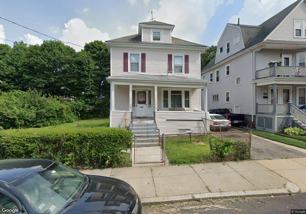
76 Rosewood St Mattapan, MA 02126
Southern Mattapan NeighborhoodEstimated Value: $537,000 - $645,570
3
Beds
1
Bath
1,288
Sq Ft
$448/Sq Ft
Est. Value
About This Home
This home is located at 76 Rosewood St, Mattapan, MA 02126 and is currently estimated at $576,393, approximately $447 per square foot. 76 Rosewood St is a home located in Suffolk County with nearby schools including KIPP Academy Boston Charter School, Berea Seventh-day Adventist Academy, and St. Mary of the Hills School.
Ownership History
Date
Name
Owned For
Owner Type
Purchase Details
Closed on
Oct 16, 2025
Sold by
Pettit-Frere Armande Est and Grodberg
Bought by
Frere Jeffrey P and Frere Kristeen F
Current Estimated Value
Purchase Details
Closed on
Jul 18, 2001
Sold by
Riley Gay C and Riley R
Bought by
Petit Frere Armande J
Home Financials for this Owner
Home Financials are based on the most recent Mortgage that was taken out on this home.
Original Mortgage
$124,600
Interest Rate
7.2%
Mortgage Type
Purchase Money Mortgage
Create a Home Valuation Report for This Property
The Home Valuation Report is an in-depth analysis detailing your home's value as well as a comparison with similar homes in the area
Home Values in the Area
Average Home Value in this Area
Purchase History
| Date | Buyer | Sale Price | Title Company |
|---|---|---|---|
| Frere Jeffrey P | -- | -- | |
| Petit Frere Armande J | $178,000 | -- |
Source: Public Records
Mortgage History
| Date | Status | Borrower | Loan Amount |
|---|---|---|---|
| Previous Owner | Petit Frere Armande J | $124,600 | |
| Previous Owner | Petit Frere Armande J | $11,234 |
Source: Public Records
Tax History Compared to Growth
Tax History
| Year | Tax Paid | Tax Assessment Tax Assessment Total Assessment is a certain percentage of the fair market value that is determined by local assessors to be the total taxable value of land and additions on the property. | Land | Improvement |
|---|---|---|---|---|
| 2025 | $6,822 | $589,100 | $242,800 | $346,300 |
| 2024 | $6,099 | $559,500 | $238,700 | $320,800 |
| 2023 | $5,722 | $532,800 | $227,300 | $305,500 |
| 2022 | $5,366 | $493,200 | $210,400 | $282,800 |
| 2021 | $4,837 | $453,300 | $200,400 | $252,900 |
| 2020 | $4,474 | $423,700 | $206,500 | $217,200 |
| 2019 | $4,295 | $407,500 | $161,800 | $245,700 |
| 2018 | $3,992 | $380,900 | $161,800 | $219,100 |
| 2017 | $3,700 | $349,400 | $161,800 | $187,600 |
| 2016 | $3,494 | $317,600 | $161,800 | $155,800 |
| 2015 | $3,216 | $265,600 | $126,300 | $139,300 |
| 2014 | $3,064 | $243,600 | $126,300 | $117,300 |
Source: Public Records
Map
Nearby Homes
- 48-50 Rockdale St
- 90 Hollingsworth St
- 645 River St
- 23 Caton St
- 25 Alpine St Unit 7
- 770 Cummins Hwy Unit 1
- 770 Cummins Hwy Unit 22
- 16 Blue Hill Ave
- 10 Brockton St
- 20 Massasoit St
- 84 Blue Hills Pkwy
- 95 Woodhaven St
- 839-843 Cummins Hwy
- 112 Brush Hill Rd
- 96 Brook Rd
- 7 Winborough St
- 42 Osceola St
- 128 Blue Hills Pkwy
- 27 Hawthorn Rd
- 34 Ridlon Rd
- 78 Rosewood St Unit 78A
- 66 Rosewood St
- 79 Rockdale St
- 82 Rosewood St
- 81 Rockdale St
- 62 Rosewood St
- 71 Rockdale St
- 71 Rosewood St
- 84 Rosewood St
- 75 Rosewood St
- 85 Rockdale St
- 67 Rosewood St
- 79 Rosewood St
- 67 Rockdale St Unit 69
- 65 Rosewood St
- 89 Rockdale St
- 88 Rosewood St
- 58 Rosewood St
- 58 Rosewood St Unit 2
- 61-63 Rosewood St