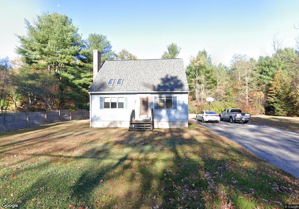
76 S Spencer Rd Spencer, MA 01562
Estimated Value: $402,500 - $475,000
3
Beds
2
Baths
1,581
Sq Ft
$274/Sq Ft
Est. Value
About This Home
This home is located at 76 S Spencer Rd, Spencer, MA 01562 and is currently estimated at $432,875, approximately $273 per square foot. 76 S Spencer Rd is a home located in Worcester County with nearby schools including David Prouty High School.
Ownership History
Date
Name
Owned For
Owner Type
Purchase Details
Closed on
Dec 27, 2000
Sold by
Ugrinow Paul and Miranda Lourdes
Bought by
Miranda Rodolfo T and Miranda Cheryl A
Current Estimated Value
Home Financials for this Owner
Home Financials are based on the most recent Mortgage that was taken out on this home.
Original Mortgage
$142,227
Interest Rate
7.7%
Mortgage Type
Purchase Money Mortgage
Create a Home Valuation Report for This Property
The Home Valuation Report is an in-depth analysis detailing your home's value as well as a comparison with similar homes in the area
Home Values in the Area
Average Home Value in this Area
Purchase History
| Date | Buyer | Sale Price | Title Company |
|---|---|---|---|
| Miranda Rodolfo T | $142,300 | -- |
Source: Public Records
Mortgage History
| Date | Status | Borrower | Loan Amount |
|---|---|---|---|
| Open | Miranda Rodolfo T | $147,000 | |
| Closed | Miranda Rodolfo T | $141,186 | |
| Closed | Miranda Rodolfo T | $142,227 | |
| Previous Owner | Miranda Rodolfo T | $43,000 |
Source: Public Records
Tax History Compared to Growth
Tax History
| Year | Tax Paid | Tax Assessment Tax Assessment Total Assessment is a certain percentage of the fair market value that is determined by local assessors to be the total taxable value of land and additions on the property. | Land | Improvement |
|---|---|---|---|---|
| 2025 | $40 | $337,500 | $54,300 | $283,200 |
| 2024 | $3,624 | $316,800 | $54,300 | $262,500 |
| 2023 | $3,491 | $289,500 | $54,300 | $235,200 |
| 2022 | $3,429 | $260,600 | $49,400 | $211,200 |
| 2021 | $3,370 | $240,000 | $49,400 | $190,600 |
| 2020 | $3,145 | $222,700 | $49,400 | $173,300 |
| 2019 | $3,008 | $217,000 | $44,900 | $172,100 |
| 2018 | $2,771 | $206,500 | $52,000 | $154,500 |
| 2017 | $2,727 | $195,100 | $49,400 | $145,700 |
| 2016 | $2,566 | $179,600 | $44,400 | $135,200 |
| 2015 | $2,474 | $181,000 | $49,300 | $131,700 |
| 2014 | $2,380 | $181,000 | $49,300 | $131,700 |
Source: Public Records
Map
Nearby Homes
- 31 Lyford Rd
- 38 S Spencer Rd
- 17 Bixby Rd Unit 7
- 9 Hebert Rd
- 2 Crestview Dr Unit 52
- 4 Crestview Dr Unit 55
- 79-83.5 Maple St
- 111 Drake Ln
- Lot 0 Langevin St
- 0 I Capen Rd
- 12 Crown St
- 220 Harrington Cir
- 3 Bemis St
- 294 E Main St
- 6 Sullivan St
- 163 Ash St
- 145 Draper Rd
- 26 Maple St
- 16 Old Farm Rd
- 13 Grove St
- 3 Lyford Cross Rd
- 80 S Spencer Rd
- Lot 8 Lyford Cross Rd
- 73 S Spencer Rd
- 2 Lyford Cross Rd
- 13 Depot Rd
- 4 Lyford Cross Rd
- 6 Lyford Cross Rd
- 69 S Spencer Rd
- 78 S Spencer Rd
- 81 S Spencer Rd
- 17 Depot Rd
- 68 S Spencer Rd
- Lot 4 Lyford Rd
- Lot 5 Lyford Rd
- 3 Lyford Rd
- 5 Lyford Rd
- 82 S Spencer Rd
- Lot 7 Lyford Rd
- 7 Lyford Rd