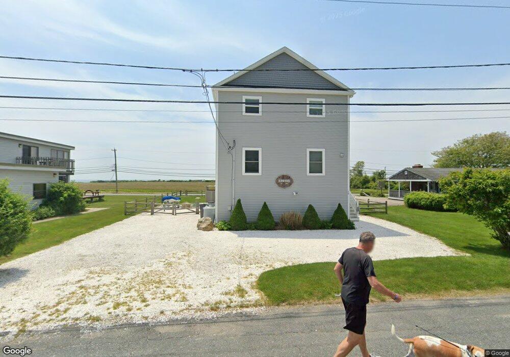
76 S Weeden Rd Wakefield, RI 02879
Estimated Value: $1,046,000 - $1,187,000
2
Beds
3
Baths
1,768
Sq Ft
$618/Sq Ft
Est. Value
About This Home
This home is located at 76 S Weeden Rd, Wakefield, RI 02879 and is currently estimated at $1,092,077, approximately $617 per square foot. 76 S Weeden Rd is a home with nearby schools including South Kingstown High School.
Ownership History
Date
Name
Owned For
Owner Type
Purchase Details
Closed on
Sep 30, 2016
Sold by
Gilbody Joseph J
Bought by
Bertholf Jeffrey and Hourigan Brookw
Current Estimated Value
Purchase Details
Closed on
Aug 31, 2015
Sold by
Scola Franklyn J
Bought by
Gilbody Joseph J
Home Financials for this Owner
Home Financials are based on the most recent Mortgage that was taken out on this home.
Original Mortgage
$181,350
Interest Rate
4.09%
Mortgage Type
New Conventional
Create a Home Valuation Report for This Property
The Home Valuation Report is an in-depth analysis detailing your home's value as well as a comparison with similar homes in the area
Home Values in the Area
Average Home Value in this Area
Purchase History
| Date | Buyer | Sale Price | Title Company |
|---|---|---|---|
| Bertholf Jeffrey | $300,000 | -- | |
| Gilbody Joseph J | $279,000 | -- |
Source: Public Records
Mortgage History
| Date | Status | Borrower | Loan Amount |
|---|---|---|---|
| Previous Owner | Gilbody Joseph J | $181,350 |
Source: Public Records
Tax History Compared to Growth
Tax History
| Year | Tax Paid | Tax Assessment Tax Assessment Total Assessment is a certain percentage of the fair market value that is determined by local assessors to be the total taxable value of land and additions on the property. | Land | Improvement |
|---|---|---|---|---|
| 2025 | $7,761 | $868,100 | $437,700 | $430,400 |
| 2024 | $8,059 | $729,300 | $367,200 | $362,100 |
| 2023 | $8,059 | $729,300 | $367,200 | $362,100 |
| 2022 | $7,986 | $729,300 | $367,200 | $362,100 |
| 2021 | $8,226 | $569,300 | $299,400 | $269,900 |
| 2020 | $8,226 | $569,300 | $299,400 | $269,900 |
| 2019 | $8,226 | $569,300 | $299,400 | $269,900 |
| 2018 | $3,755 | $239,500 | $239,500 | $0 |
| 2017 | $3,667 | $239,500 | $239,500 | $0 |
| 2016 | $3,614 | $239,500 | $239,500 | $0 |
| 2015 | $3,566 | $229,800 | $229,800 | $0 |
| 2014 | $3,557 | $229,800 | $229,800 | $0 |
Source: Public Records
Map
Nearby Homes
- 240 Cards Pond Rd
- 27 Holden Rd
- 854 Matunuck Beach Rd
- 854 Matunuck Beach #215 Rd
- 975 Matunuck Beach Rd
- 550 Cards Pond Rd
- 24 Peninsula Rd
- 14 E Pointe Ct Unit 14
- 691 Succotash Rd
- 2321 Post Rd
- 6 MacAlder St
- 23 E Matunuck Farm Dr
- 2139 Commodore Oliver Hazard Perry Hwy
- 1185 Succotash Rd
- 16 High Tides Ln
- 40 Wild Rose Ct
- 2 Green Hill Ave
- 232 Sand Hill Cove Rd Unit 232 C
- 271 Great Island Rd
- 183 Gravelly Hill Rd
- 70 S Weeden Rd
- 149 Cards Pond Rd
- 62 S Weeden Rd
- 80 S Weeden Rd
- 85 S Weeden Rd
- 65 S Weeden Rd
- 86 S Weeden Rd
- 52 S Weeden Rd
- 57 S Weeden Rd
- 94 S Weeden Rd
- 68 Lower Farm Rd
- 46 S Weeden Rd
- 49 S Weeden Rd
- 56 Lower Farm Rd
- 71 Lower Farm Rd
- 108 S Weeden Rd
- 41 S Weeden Rd
- 38 S Weeden Rd
- 67 Lower Farm Rd
- 31 S Weeden Rd