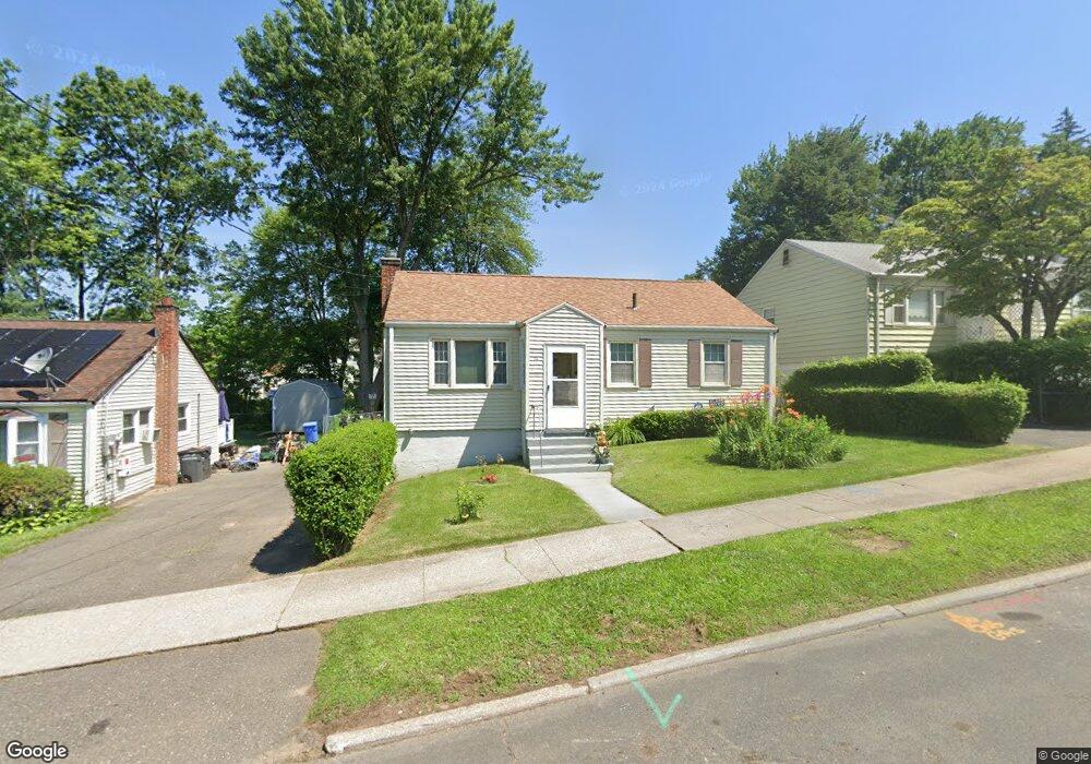
76 Simpson St Hartford, CT 06112
Blue Hills NeighborhoodEstimated Value: $204,833 - $295,000
3
Beds
1
Bath
850
Sq Ft
$281/Sq Ft
Est. Value
About This Home
This home is located at 76 Simpson St, Hartford, CT 06112 and is currently estimated at $239,208, approximately $281 per square foot. 76 Simpson St is a home located in Hartford County with nearby schools including Rawson School, Breakthrough Magnet School - North Campus, and West Middle School.
Ownership History
Date
Name
Owned For
Owner Type
Purchase Details
Closed on
Jul 29, 2022
Sold by
Dunn Maxine T and Davidson Cassandra
Bought by
Davidson Cassandra and Davidson Gerald A
Current Estimated Value
Home Financials for this Owner
Home Financials are based on the most recent Mortgage that was taken out on this home.
Original Mortgage
$87,500
Outstanding Balance
$83,669
Interest Rate
5.7%
Mortgage Type
Stand Alone Refi Refinance Of Original Loan
Estimated Equity
$155,539
Purchase Details
Closed on
Nov 5, 2021
Sold by
Dunn Maxine T
Bought by
Dunn Maxine T and Davidson Cassandra
Create a Home Valuation Report for This Property
The Home Valuation Report is an in-depth analysis detailing your home's value as well as a comparison with similar homes in the area
Home Values in the Area
Average Home Value in this Area
Purchase History
| Date | Buyer | Sale Price | Title Company |
|---|---|---|---|
| Davidson Cassandra | -- | None Available | |
| Davidson Cassandra | -- | None Available | |
| Dunn Maxine T | -- | None Available | |
| Dunn Maxine T | -- | None Available |
Source: Public Records
Mortgage History
| Date | Status | Borrower | Loan Amount |
|---|---|---|---|
| Open | Davidson Cassandra | $87,500 | |
| Closed | Davidson Cassandra | $87,500 |
Source: Public Records
Tax History Compared to Growth
Tax History
| Year | Tax Paid | Tax Assessment Tax Assessment Total Assessment is a certain percentage of the fair market value that is determined by local assessors to be the total taxable value of land and additions on the property. | Land | Improvement |
|---|---|---|---|---|
| 2025 | $3,669 | $53,214 | $4,778 | $48,436 |
| 2024 | $3,669 | $53,214 | $4,778 | $48,436 |
| 2023 | $3,669 | $53,214 | $4,778 | $48,436 |
| 2022 | $3,669 | $53,215 | $4,778 | $48,437 |
| 2021 | $2,746 | $36,960 | $5,705 | $31,255 |
| 2020 | $2,746 | $36,960 | $5,705 | $31,255 |
| 2019 | $2,746 | $36,960 | $5,705 | $31,255 |
| 2018 | $2,653 | $35,714 | $5,513 | $30,201 |
| 2016 | $2,663 | $35,850 | $5,250 | $30,600 |
| 2015 | $2,537 | $34,147 | $5,001 | $29,146 |
| 2014 | $2,475 | $33,312 | $4,878 | $28,434 |
Source: Public Records
Map
Nearby Homes
- 152 Burnham St
- 147 Morningside St W
- 86 Hartland St
- 171 N Canaan St
- 70 Burnham St Unit 72
- 180 Brookline Ave
- 90 Manchester St
- 179 Manchester St
- 355 Cornwall St Unit 357
- 11 Pershing St Unit 13
- 125 Lebanon St Unit 127
- 181 Westminster St
- 10 Baltic St Unit 12
- 218 Holcomb St Unit 220
- 36 Baltic St Unit 38
- 211 Holcomb St Unit 213
- 97 E Burnham St
- 97 Boothbay St
- 157 Pembroke St Unit 159
- 67 Elizabeth Ave