76 Snowy Range Ct Livermore, CO 80536
Estimated Value: $63,321 - $64,000
--
Bed
--
Bath
--
Sq Ft
1.04
Acres
About This Home
This home is located at 76 Snowy Range Ct, Livermore, CO 80536 and is currently estimated at $63,661. 76 Snowy Range Ct is a home located in Larimer County with nearby schools including Livermore Elementary School, Cache La Poudre Middle School, and Poudre High School.
Ownership History
Date
Name
Owned For
Owner Type
Purchase Details
Closed on
May 4, 2006
Sold by
Wolff Gerhardt G and Wolff Pamela J
Bought by
Jeffries Michael and Jeffries Marife
Current Estimated Value
Home Financials for this Owner
Home Financials are based on the most recent Mortgage that was taken out on this home.
Original Mortgage
$20,000
Interest Rate
8%
Mortgage Type
Purchase Money Mortgage
Purchase Details
Closed on
Apr 7, 1997
Sold by
Wimp James Trustee
Bought by
Wolff Gerhardt G and Wolff Pamela J
Purchase Details
Closed on
Sep 1, 1993
Sold by
Wimp James
Bought by
Wimp Irene Trust
Create a Home Valuation Report for This Property
The Home Valuation Report is an in-depth analysis detailing your home's value as well as a comparison with similar homes in the area
Home Values in the Area
Average Home Value in this Area
Purchase History
| Date | Buyer | Sale Price | Title Company |
|---|---|---|---|
| Jeffries Michael | $25,000 | None Available | |
| Wolff Gerhardt G | $11,500 | -- | |
| Wimp Irene Trust | -- | -- |
Source: Public Records
Mortgage History
| Date | Status | Borrower | Loan Amount |
|---|---|---|---|
| Closed | Jeffries Michael | $20,000 |
Source: Public Records
Tax History Compared to Growth
Tax History
| Year | Tax Paid | Tax Assessment Tax Assessment Total Assessment is a certain percentage of the fair market value that is determined by local assessors to be the total taxable value of land and additions on the property. | Land | Improvement |
|---|---|---|---|---|
| 2025 | $1,123 | $11,411 | $11,411 | -- |
| 2024 | $1,070 | $11,411 | $11,411 | -- |
| 2022 | $573 | $5,916 | $5,916 | $0 |
| 2021 | $563 | $5,916 | $5,916 | $0 |
| 2020 | $362 | $3,770 | $3,770 | $0 |
| 2019 | $364 | $3,770 | $3,770 | $0 |
| 2018 | $260 | $2,900 | $2,900 | $0 |
| 2017 | $259 | $2,900 | $2,900 | $0 |
| 2016 | $195 | $2,175 | $2,175 | $0 |
| 2015 | $194 | $2,180 | $2,180 | $0 |
| 2014 | $195 | $2,180 | $2,180 | $0 |
Source: Public Records
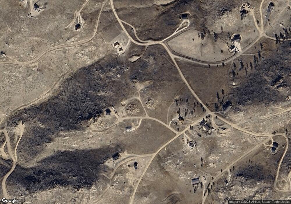
Map
Nearby Homes
- 743 Horse Mountain Dr
- 112 Rabbit Ears Ct
- 37 Black Mountain Ct
- 232 Red Mountain Ct
- 598 Mount McConnell Dr
- 42 Smokey Mountain Ct
- 132 Singing Pines Ct
- 38 Carson Peak Ct
- 151 Black Mountain Ct
- 890 Meadow Mountain Dr
- 1222 Meadow Mountain Dr
- 1324 Meadow Mountain Dr
- 1360 Meadow Mountain Dr
- 45 Bull Rock Ct
- 104 Sheep Mountain Ct
- 443 Meadow Mountain Dr
- 59 Bobcat Mountain Ct
- 17 Bobcat Mountain Ct
- 894 Turkey Roost Dr
- 181 Meadow Mountain Dr
- 109 Snowy Mountain Ct
- 77 Snowy Range Ct
- 108 Snowy Range Ct
- 525 Horse Mountain Dr
- 302 Haystack Dr
- 302 Haystack Mountain Ct
- 242 Haystack Mountain Ct
- 58 Haystack Mountain Ct
- 58 Haystack Mountain Ct
- 32 Rabbit Ears Ct
- 409 Horse Mountain Dr
- 616 Horse Mountain Dr
- 654 Horse Mountain Dr
- 361 Horse Mountain Dr
- 572 Horse Mountain Dr
- 254 Haystack Mountain Ct
- 62 Rabbit Ears Ct
- 41 Blacktail Way
- 26 Black Tail Way
- 72 Diamond Peak Ct