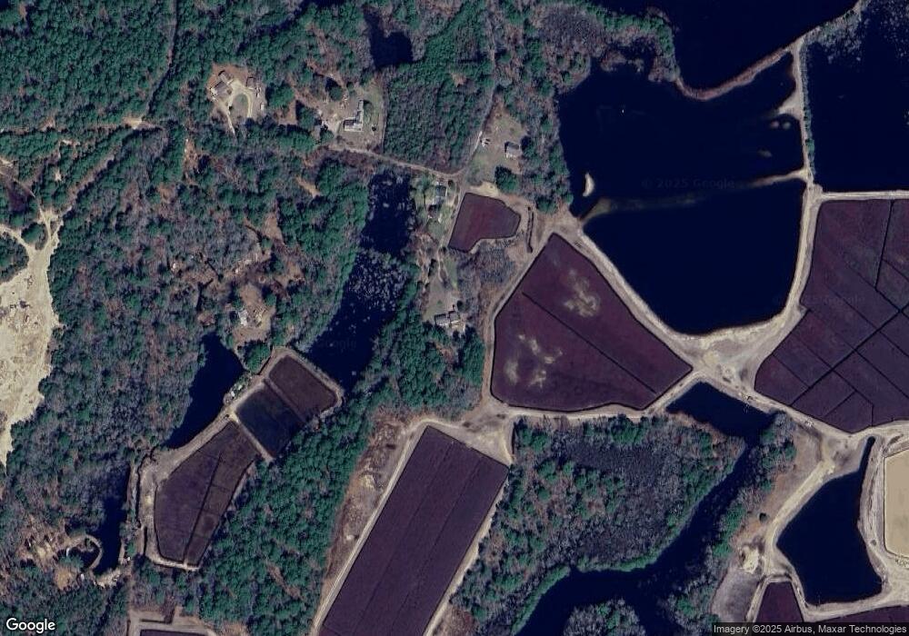
76 Squirrel Island Rd West Wareham, MA 02576
Estimated Value: $635,000 - $645,000
5
Beds
3
Baths
2,434
Sq Ft
$263/Sq Ft
Est. Value
About This Home
This home is located at 76 Squirrel Island Rd, West Wareham, MA 02576 and is currently estimated at $640,964, approximately $263 per square foot. 76 Squirrel Island Rd is a home located in Plymouth County.
Ownership History
Date
Name
Owned For
Owner Type
Purchase Details
Closed on
Aug 31, 2023
Sold by
Gropman Judith S and Gropman William F
Bought by
76 Quirrel Island Rd Rt and Gropman
Current Estimated Value
Purchase Details
Closed on
May 28, 2003
Sold by
Pires Gale M and Pires Curtis W
Bought by
Gropman William F and Gropman Judith S
Home Financials for this Owner
Home Financials are based on the most recent Mortgage that was taken out on this home.
Original Mortgage
$192,500
Interest Rate
5.86%
Mortgage Type
Commercial
Purchase Details
Closed on
Oct 18, 1996
Sold by
Gustafson Mark R and Gustafson Barbara F
Bought by
Pires Curtis W and Pires Gale M
Home Financials for this Owner
Home Financials are based on the most recent Mortgage that was taken out on this home.
Original Mortgage
$128,000
Interest Rate
8.26%
Mortgage Type
Commercial
Create a Home Valuation Report for This Property
The Home Valuation Report is an in-depth analysis detailing your home's value as well as a comparison with similar homes in the area
Home Values in the Area
Average Home Value in this Area
Purchase History
| Date | Buyer | Sale Price | Title Company |
|---|---|---|---|
| 76 Quirrel Island Rd Rt | -- | None Available | |
| 76 Quirrel Island Rd Rt | -- | None Available | |
| Gropman William F | $275,000 | -- | |
| Gropman William F | $275,000 | -- | |
| Pires Curtis W | $160,000 | -- | |
| Pires Curtis W | $160,000 | -- |
Source: Public Records
Mortgage History
| Date | Status | Borrower | Loan Amount |
|---|---|---|---|
| Previous Owner | Pires Curtis W | $192,500 | |
| Previous Owner | Pires Curtis W | $128,000 |
Source: Public Records
Tax History Compared to Growth
Tax History
| Year | Tax Paid | Tax Assessment Tax Assessment Total Assessment is a certain percentage of the fair market value that is determined by local assessors to be the total taxable value of land and additions on the property. | Land | Improvement |
|---|---|---|---|---|
| 2025 | $5,568 | $534,400 | $128,200 | $406,200 |
| 2024 | $5,643 | $502,500 | $103,200 | $399,300 |
| 2023 | $5,359 | $445,500 | $94,000 | $351,500 |
| 2022 | $4,958 | $376,200 | $94,000 | $282,200 |
| 2021 | $4,868 | $361,900 | $94,000 | $267,900 |
| 2020 | $4,546 | $342,800 | $94,000 | $248,800 |
| 2019 | $4,780 | $359,700 | $99,300 | $260,400 |
| 2018 | $4,551 | $333,900 | $99,300 | $234,600 |
| 2017 | $4,390 | $326,400 | $99,300 | $227,100 |
| 2016 | $4,048 | $299,200 | $104,100 | $195,100 |
| 2015 | $3,911 | $299,200 | $104,100 | $195,100 |
| 2014 | $3,827 | $297,800 | $98,800 | $199,000 |
Source: Public Records
Map
Nearby Homes
- 0 Squirrel Island Rd
- 69 Squirrel Island Rd
- 64 Squirrel Island Rd
- 64 Squirrel Island Rd
- 59 Squirrel Island Rd
- 17 Squirrel Island Rd
- 163 Squirrel Island Rd
- 10 Squirrel Island Rd
- 42 Squirrel Island Rd
- 39 Blackmore Pond Rd
- 39 Harvest Cir
- 37 Harvest Cir
- 43 Harvest Cir
- 8 Maki Way
- 16 Squirrel Island Rd
- 33 Harvest Cir
- 38 Harvest Cir
- 29 Squirrel Island Rd
- 53 Maki Way
- 77 Blackmore Pond Rd
