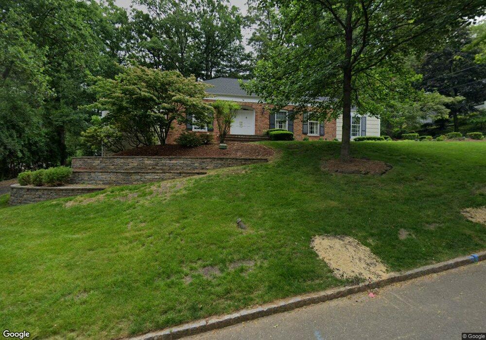
76 Tanglewood Dr Summit, NJ 07901
Estimated Value: $1,354,000 - $1,699,000
Studio
--
Bath
2,241
Sq Ft
$695/Sq Ft
Est. Value
About This Home
This home is located at 76 Tanglewood Dr, Summit, NJ 07901 and is currently estimated at $1,557,029, approximately $694 per square foot. 76 Tanglewood Dr is a home located in Union County with nearby schools including L C Johnson Summit Middle School, Summit Sr High School, and Oak Knoll School of the Holy Child.
Ownership History
Date
Name
Owned For
Owner Type
Purchase Details
Closed on
Jun 26, 2007
Sold by
Underwood Lake C and Underwood Sadie
Bought by
Underwood Tina D
Current Estimated Value
Purchase Details
Closed on
Jan 11, 2002
Sold by
Underwood Lake C and Underwood Sadie
Bought by
Underwood Lake C and Underwood Sadie
Purchase Details
Closed on
Oct 22, 2001
Sold by
Underwood Lake C
Bought by
Underwood Lake C and Underwood Sadie
Purchase Details
Closed on
Mar 23, 1995
Sold by
Powers Adele E and Engelmann Adele E
Bought by
Underwood Ii Lake C and Underwood Tina D
Create a Home Valuation Report for This Property
The Home Valuation Report is an in-depth analysis detailing your home's value as well as a comparison with similar homes in the area
Home Values in the Area
Average Home Value in this Area
Purchase History
| Date | Buyer | Sale Price | Title Company |
|---|---|---|---|
| Underwood Tina D | -- | None Available | |
| Underwood Lake C | -- | -- | |
| Underwood Lake C | -- | -- | |
| Underwood Ii Lake C | $380,000 | Stewart Title Guaranty Co |
Source: Public Records
Tax History
| Year | Tax Paid | Tax Assessment Tax Assessment Total Assessment is a certain percentage of the fair market value that is determined by local assessors to be the total taxable value of land and additions on the property. | Land | Improvement |
|---|---|---|---|---|
| 2025 | $18,130 | $416,200 | $248,600 | $167,600 |
| 2024 | $18,009 | $416,200 | $248,600 | $167,600 |
| 2023 | $18,009 | $416,200 | $248,600 | $167,600 |
| 2022 | $17,826 | $416,200 | $248,600 | $167,600 |
| 2021 | $17,967 | $416,200 | $248,600 | $167,600 |
| 2020 | $18,146 | $416,200 | $248,600 | $167,600 |
| 2019 | $18,167 | $416,200 | $248,600 | $167,600 |
| 2018 | $18,051 | $416,200 | $248,600 | $167,600 |
| 2017 | $18,167 | $416,200 | $248,600 | $167,600 |
| 2016 | $17,901 | $416,200 | $248,600 | $167,600 |
| 2015 | $17,551 | $416,200 | $248,600 | $167,600 |
| 2014 | $17,098 | $416,200 | $248,600 | $167,600 |
Source: Public Records
Map
Nearby Homes
- 71 Dale Dr
- 65 Seven Oaks Dr
- 113 Crest Dr
- 78 Seven Oaks Dr
- 63 Gallinson Dr
- 26 Crest Dr
- 39 Gallinson Dr
- 22 Brook Hollow Ln
- 49 the Fellsway
- 61 Oakwood Dr
- 226 Mountain Ave
- 15 Alison Ct
- 157 Grant Ave
- 11 Dorr Rd
- 65 Division Ave
- 4 Parkview Terrace
- 27 Grant Ave
- 27 Hunterdon Blvd
- 84 Pine Grove Ave
- 199 Hickson Dr
Your Personal Tour Guide
Ask me questions while you tour the home.