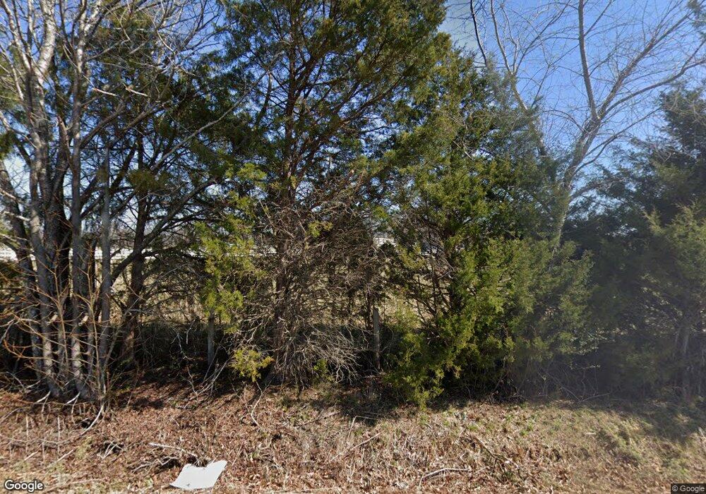
760 Bill Pearson Rd Woodruff, SC 29388
Estimated Value: $386,000 - $743,049
3
Beds
3
Baths
2,338
Sq Ft
$232/Sq Ft
Est. Value
About This Home
This home is located at 760 Bill Pearson Rd, Woodruff, SC 29388 and is currently estimated at $541,512, approximately $231 per square foot. 760 Bill Pearson Rd is a home with nearby schools including Woodruff Primary School, Woodruff Elementary School, and Woodruff Middle School.
Ownership History
Date
Name
Owned For
Owner Type
Purchase Details
Closed on
Jun 30, 2017
Sold by
Bortone Bitten
Bought by
Bortone Bitten Rouser and The Bitten Rouser Bortone Revocable Livi
Current Estimated Value
Purchase Details
Closed on
Mar 29, 2007
Sold by
Worrell Betty P
Bought by
Bortone Doug and Bortone Bitten
Home Financials for this Owner
Home Financials are based on the most recent Mortgage that was taken out on this home.
Original Mortgage
$112,320
Outstanding Balance
$67,575
Interest Rate
6.15%
Mortgage Type
Purchase Money Mortgage
Estimated Equity
$473,937
Create a Home Valuation Report for This Property
The Home Valuation Report is an in-depth analysis detailing your home's value as well as a comparison with similar homes in the area
Home Values in the Area
Average Home Value in this Area
Purchase History
| Date | Buyer | Sale Price | Title Company |
|---|---|---|---|
| Bortone Bitten Rouser | -- | None Available | |
| Bortone Doug | $117,000 | None Available |
Source: Public Records
Mortgage History
| Date | Status | Borrower | Loan Amount |
|---|---|---|---|
| Open | Bortone Doug | $112,320 |
Source: Public Records
Tax History Compared to Growth
Tax History
| Year | Tax Paid | Tax Assessment Tax Assessment Total Assessment is a certain percentage of the fair market value that is determined by local assessors to be the total taxable value of land and additions on the property. | Land | Improvement |
|---|---|---|---|---|
| 2025 | $1,862 | $13,177 | $508 | $12,669 |
| 2024 | $1,862 | $13,177 | $508 | $12,669 |
| 2023 | $1,862 | $13,177 | $508 | $12,669 |
| 2022 | $1,418 | $11,465 | $437 | $11,028 |
| 2021 | $1,460 | $11,533 | $437 | $11,096 |
| 2020 | $1,324 | $11,533 | $437 | $11,096 |
| 2019 | $1,343 | $11,533 | $437 | $11,096 |
| 2018 | $1,298 | $12,133 | $437 | $11,696 |
| 2017 | $1,153 | $10,705 | $437 | $10,268 |
| 2016 | $1,412 | $10,705 | $437 | $10,268 |
| 2015 | $1,410 | $10,414 | $426 | $9,988 |
| 2014 | $42 | $121 | $57 | $64 |
Source: Public Records
Map
Nearby Homes
- 110 Chicken Foot Creek Rd
- 129 Owings Rd
- 2991 S Carolina 417
- 737 Rockhurst Way
- DORSET Plan at Sycamore Cove
- SIERRA Plan at Sycamore Cove
- LANDON Plan at Sycamore Cove
- BERKSHIRE Plan at Sycamore Cove
- CAMERON Plan at Sycamore Cove
- 1771 Odessa Ln
- 565 Fenwick Dr
- 488 Fenwick Dr
- 561 Fenwick Dr
- 521 Fenwick Dr
- 569 Fenwick Dr
- 726 Bill Pearson Rd
- 425 Haddon Trail
- 430 Haddon Trail
- 409 Haddon Trail
- 437 Haddon Trail
- 741 Bill Pearson Rd
- 747 Bill Pearson Rd
- 1770 Davis Rd
- 1811 Davis Rd
- 121 Hortizone Dr
- 1781 Davis Rd
- 1805 Davis Rd
- 140 Hortizone Dr
- 1708 Davis Rd
- 728 Bill Pearson Rd
- 1900 Davis Rd
- 1712 Davis Rd
- 1716 Davis Rd
- 1945 Davis Rd
- 1701 Davis Rd
- 724 Bill Pearson Rd
- 1641 Davis Rd
- 1780 Davis Rd
- 723 Bill Pearson Rd
- 1950 Davis Rd
