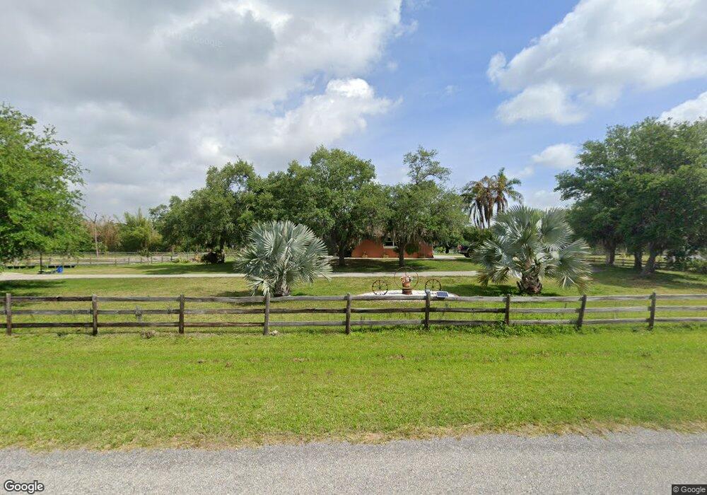
760 Buckskin Ct Unit 2 Englewood, FL 34223
Central Englewood NeighborhoodEstimated Value: $868,000 - $1,083,312
3
Beds
2
Baths
2,529
Sq Ft
$379/Sq Ft
Est. Value
About This Home
This home is located at 760 Buckskin Ct Unit 2, Englewood, FL 34223 and is currently estimated at $958,828, approximately $379 per square foot. 760 Buckskin Ct Unit 2 is a home located in Sarasota County with nearby schools including Englewood Elementary School, L.A. Ainger Middle School, and Lemon Bay High School.
Ownership History
Date
Name
Owned For
Owner Type
Purchase Details
Closed on
Oct 3, 2011
Sold by
Clark Keith and Clark Angela D
Bought by
Kuni Erwin A and Kuni Ann C
Current Estimated Value
Home Financials for this Owner
Home Financials are based on the most recent Mortgage that was taken out on this home.
Original Mortgage
$150,000
Outstanding Balance
$103,287
Interest Rate
4.3%
Mortgage Type
New Conventional
Estimated Equity
$855,541
Purchase Details
Closed on
Oct 19, 2006
Sold by
Demary Michelle A and Clark Michelle
Bought by
Clark Keith
Purchase Details
Closed on
Aug 27, 1997
Sold by
Roby F Gene and Roby Robin L
Bought by
Clark Keith and Clark Michelle
Purchase Details
Closed on
Jan 25, 1994
Sold by
Losey Joyce
Bought by
Losey David
Create a Home Valuation Report for This Property
The Home Valuation Report is an in-depth analysis detailing your home's value as well as a comparison with similar homes in the area
Home Values in the Area
Average Home Value in this Area
Purchase History
| Date | Buyer | Sale Price | Title Company |
|---|---|---|---|
| Kuni Erwin A | $355,000 | Stewart Title Company | |
| Clark Keith | -- | Community Title & Escrow | |
| Clark Keith | $78,900 | -- | |
| Losey David | -- | -- |
Source: Public Records
Mortgage History
| Date | Status | Borrower | Loan Amount |
|---|---|---|---|
| Open | Kuni Erwin A | $150,000 |
Source: Public Records
Tax History Compared to Growth
Tax History
| Year | Tax Paid | Tax Assessment Tax Assessment Total Assessment is a certain percentage of the fair market value that is determined by local assessors to be the total taxable value of land and additions on the property. | Land | Improvement |
|---|---|---|---|---|
| 2024 | $7,874 | $672,517 | -- | -- |
| 2023 | $7,874 | $652,929 | $0 | $0 |
| 2022 | $7,747 | $633,912 | $0 | $0 |
| 2021 | $6,941 | $558,700 | $215,200 | $343,500 |
| 2020 | $6,503 | $477,500 | $187,500 | $290,000 |
| 2019 | $6,671 | $496,100 | $217,800 | $278,300 |
| 2018 | $5,439 | $398,700 | $199,100 | $199,600 |
| 2017 | $5,437 | $392,000 | $199,100 | $192,900 |
| 2016 | $5,522 | $395,500 | $199,100 | $196,400 |
| 2015 | $5,166 | $357,600 | $184,400 | $173,200 |
| 2014 | $4,705 | $308,800 | $0 | $0 |
Source: Public Records
Map
Nearby Homes
- 730 Buckskin Ct
- 0 Paul Morris Dr Unit MFRD6144140
- 0 Paul Morris Dr Unit 21170630
- 1520 S River Rd
- Colton Plan at Shores at Stillwater - Villa
- Ellenwood Plan at Shores at Stillwater - Villa
- Prestige Plan at Shores at Stillwater - Distinctive
- Mystique Grande Plan at Shores at Stillwater - Distinctive
- Mystique Plan at Shores at Stillwater - Distinctive
- Prosperity Plan at Shores at Stillwater - Distinctive
- Palmary Plan at Shores at Stillwater - Distinctive
- 1828 Silver Shores Blvd
- 1835 Silver Shores Blvd
- 1836 Silver Shores Blvd
- 1832 Silver Shores Blvd
- 1135 Range Rd
- 8346 Kinglet Dr
- 1294 Blue Heron Dr
- 2754 Tanager Ln
- 9295 Prospect Ave
- 770 Buckskin Ct
- 761 Buckskin Ct
- 791 Buckskin Ct
- 810 Buckskin Ct
- 771 Buckskin Ct
- 720 Buckskin Ct
- 741 Buckskin Ct
- 790 Buckskin Ct
- 781 Buckskin Ct
- 731 Buckskin Ct
- 751 Buckskin Ct
- 710 Buckskin Ct
- 721 Buckskin Ct
- 830 Buckskin Ct
- 811 Buckskin Ct Unit 2
- 801 Buckskin Ct
- 2260 Melody Rd
- 711 Buckskin Ct
- 2370 Buckskin Dr
- 821 Buckskin Ct