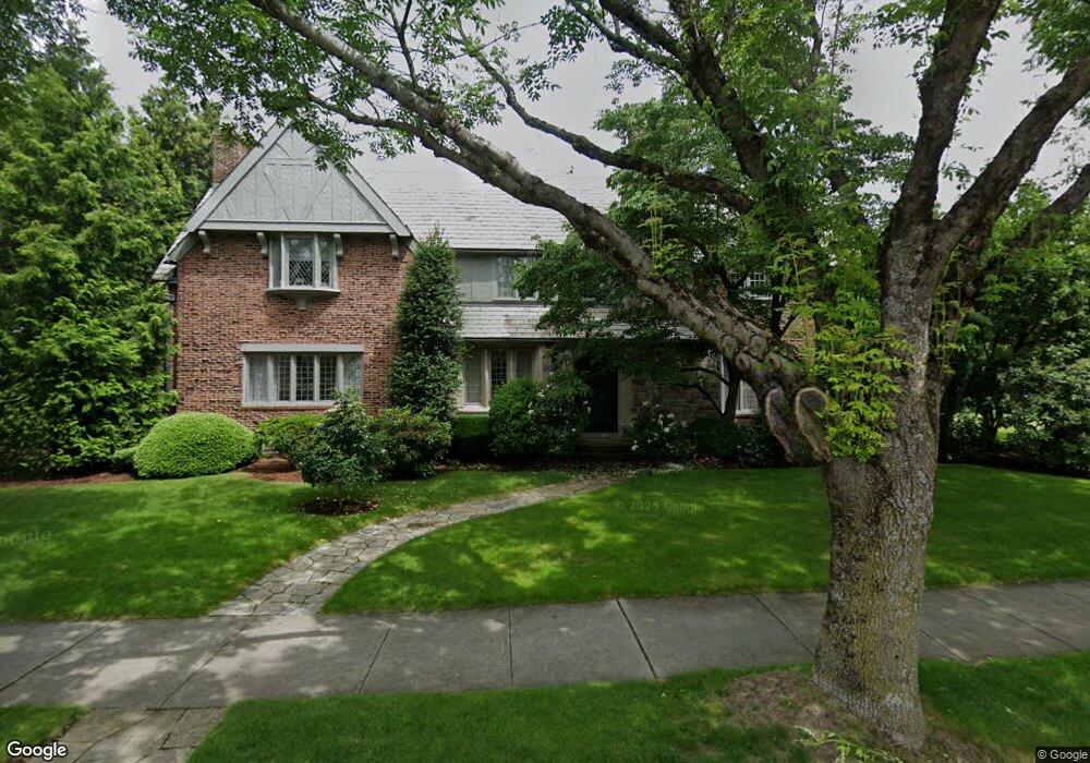
760 Elmgrove Ave Providence, RI 02906
Blackstone NeighborhoodEstimated Value: $2,014,000 - $2,362,130
3
Beds
3
Baths
4,007
Sq Ft
$542/Sq Ft
Est. Value
About This Home
This home is located at 760 Elmgrove Ave, Providence, RI 02906 and is currently estimated at $2,172,710, approximately $542 per square foot. 760 Elmgrove Ave is a home located in Providence County with nearby schools including Asa Messer Elementary School, Charles N. Fortes Elementary School, and Veazie Street Elementary School.
Ownership History
Date
Name
Owned For
Owner Type
Purchase Details
Closed on
Mar 8, 2024
Sold by
Joanne Marshall T and Joanne Marshall
Bought by
Joanne Marshall T and Joanne Marshall
Current Estimated Value
Purchase Details
Closed on
Aug 7, 1987
Bought by
Gruppioni Thomas A
Create a Home Valuation Report for This Property
The Home Valuation Report is an in-depth analysis detailing your home's value as well as a comparison with similar homes in the area
Home Values in the Area
Average Home Value in this Area
Purchase History
| Date | Buyer | Sale Price | Title Company |
|---|---|---|---|
| Joanne Marshall T | -- | None Available | |
| Gruppioni Thomas A | $725,000 | -- |
Source: Public Records
Tax History Compared to Growth
Tax History
| Year | Tax Paid | Tax Assessment Tax Assessment Total Assessment is a certain percentage of the fair market value that is determined by local assessors to be the total taxable value of land and additions on the property. | Land | Improvement |
|---|---|---|---|---|
| 2025 | $15,075 | $1,794,700 | $854,300 | $940,400 |
| 2024 | $25,086 | $1,367,100 | $425,000 | $942,100 |
| 2023 | $25,086 | $1,367,100 | $425,000 | $942,100 |
| 2022 | $24,334 | $1,367,100 | $425,000 | $942,100 |
| 2021 | $24,373 | $992,400 | $339,400 | $653,000 |
| 2020 | $24,373 | $992,400 | $339,400 | $653,000 |
| 2019 | $23,946 | $975,000 | $339,400 | $635,600 |
| 2018 | $34,175 | $1,069,300 | $291,300 | $778,000 |
| 2017 | $34,175 | $1,069,300 | $291,300 | $778,000 |
| 2016 | $34,175 | $1,069,300 | $291,300 | $778,000 |
| 2015 | $34,652 | $1,046,900 | $308,400 | $738,500 |
| 2014 | $35,333 | $1,046,900 | $308,400 | $738,500 |
| 2013 | $35,333 | $1,046,900 | $308,400 | $738,500 |
Source: Public Records
Map
Nearby Homes
- 540 Blackstone Blvd
- 767 Elmgrove Ave
- 750 Elmgrove Ave
- 62 Harwich Rd
- 41 Wingate Rd
- 436 Blackstone Blvd
- 873 Hope St
- 132 11th St
- 151 Chace Ave
- 172 Chace Ave
- 141 Hillside Ave
- 32 Glendale Ave
- 136 Hillside Ave
- 142 Ridge St
- 202 Rochambeau Ave Unit 2
- 122 Lowden St
- 296 Cole Ave
- 294 Cole Ave
- 15 Taft Ave
- 640 East Ave
- 125 Hartshorn Rd
- 757 Elmgrove Ave
- 768 Elmgrove Ave
- 753 Elmgrove Ave
- 133 Hartshorn Rd
- 741 Elmgrove Ave
- 738 Elmgrove Ave
- 115 Hartshorn Rd
- 530 Blackstone Blvd
- 52 Harwich Rd
- 48 Harwich Rd
- 36 Harwich Rd
- 110 Hartshorn Rd
- 126 Hartshorn Rd
- 70 Harwich Rd
- 101 Hartshorn Rd
- 560 Cole Ave
- 100 Hartshorn Rd
- 600 Blackstone Blvd
- 546 Cole Ave