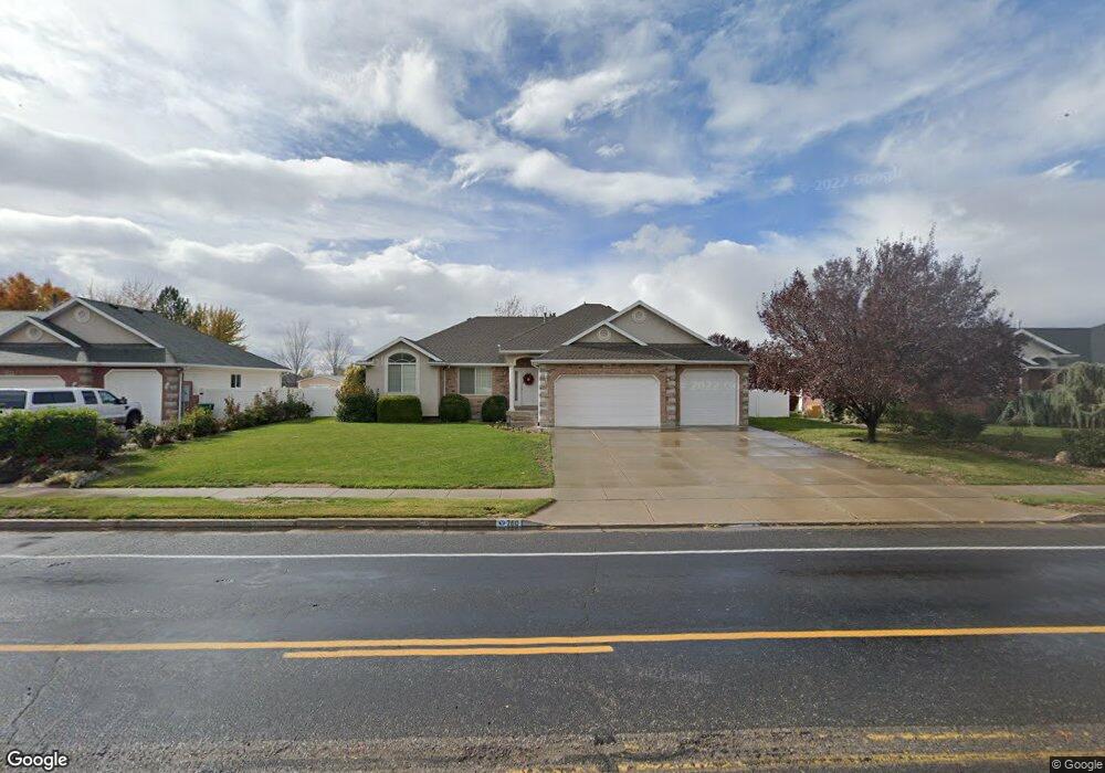
760 Flint St Layton, UT 84041
Estimated Value: $479,000 - $627,705
3
Beds
3
Baths
1,538
Sq Ft
$363/Sq Ft
Est. Value
About This Home
This home is located at 760 Flint St, Layton, UT 84041 and is currently estimated at $558,926, approximately $363 per square foot. 760 Flint St is a home located in Davis County with nearby schools including Layton Elementary School, Fairfield Junior High School, and Davis High School.
Ownership History
Date
Name
Owned For
Owner Type
Purchase Details
Closed on
Apr 19, 2010
Sold by
Hales Glen J and Hales Carolyn P
Bought by
Hales Glen Jarman and Hales Carolyn Prince
Current Estimated Value
Purchase Details
Closed on
Feb 15, 2001
Sold by
L Dale Green Construction Inc
Bought by
Hales Glen J and Hales Carolyn P
Purchase Details
Closed on
Aug 7, 2000
Sold by
Green & Green Lc
Bought by
L Dale Green Construction Inc
Home Financials for this Owner
Home Financials are based on the most recent Mortgage that was taken out on this home.
Original Mortgage
$148,000
Interest Rate
8.19%
Mortgage Type
Construction
Create a Home Valuation Report for This Property
The Home Valuation Report is an in-depth analysis detailing your home's value as well as a comparison with similar homes in the area
Home Values in the Area
Average Home Value in this Area
Purchase History
| Date | Buyer | Sale Price | Title Company |
|---|---|---|---|
| Hales Glen Jarman | -- | None Available | |
| Hales Glen J | -- | Security Title Company | |
| L Dale Green Construction Inc | -- | Security Title Company |
Source: Public Records
Mortgage History
| Date | Status | Borrower | Loan Amount |
|---|---|---|---|
| Previous Owner | L Dale Green Construction Inc | $148,000 |
Source: Public Records
Tax History
| Year | Tax Paid | Tax Assessment Tax Assessment Total Assessment is a certain percentage of the fair market value that is determined by local assessors to be the total taxable value of land and additions on the property. | Land | Improvement |
|---|---|---|---|---|
| 2025 | $3,050 | $320,100 | $134,963 | $185,137 |
| 2024 | $2,845 | $300,850 | $143,895 | $156,955 |
| 2023 | $2,860 | $533,000 | $153,397 | $379,603 |
| 2022 | $3,130 | $316,800 | $88,525 | $228,275 |
| 2021 | $2,584 | $390,000 | $132,761 | $257,239 |
| 2020 | $2,472 | $358,000 | $113,644 | $244,356 |
| 2019 | $2,404 | $341,000 | $111,829 | $229,171 |
| 2018 | $2,212 | $315,000 | $98,604 | $216,396 |
| 2016 | $2,342 | $172,040 | $40,244 | $131,796 |
| 2015 | $2,331 | $162,525 | $40,244 | $122,281 |
| 2014 | $2,332 | $166,259 | $40,244 | $126,015 |
| 2013 | -- | $145,676 | $38,634 | $107,042 |
Source: Public Records
Map
Nearby Homes
- 80 E 850 S
- 799 S 125 E
- 949 S 225 E
- 948 S 250 E
- 282 E 925 S
- 753 S 300 E
- 765 W Farming Way
- 1460 W Pleasant View Dr Unit 7
- 1435 W Pleasant View Dr Unit 37
- 1439 W Pleasant View Dr Unit 35
- 1440 W Pleasant View Dr Unit 3
- 2011 Hill St
- 189 S Main St Unit 76
- 189 S Main St Unit 21
- 389 Morgan St
- 2056 W Phillips St
- 1048 S Old Towne Rd
- 1038 S Old Towne Rd
- 186 N Mountain Vistas Rd
- 706 S 600 E
Your Personal Tour Guide
Ask me questions while you tour the home.