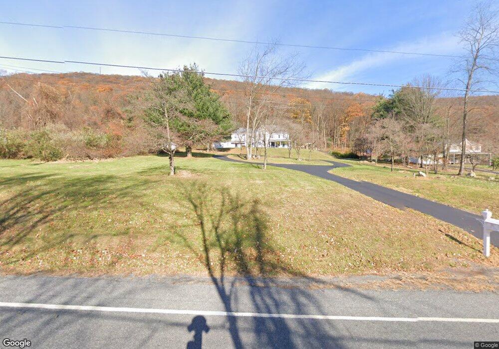
760 High Rd Ashland, PA 17921
Estimated Value: $387,000 - $448,000
5
Beds
3
Baths
4,485
Sq Ft
$94/Sq Ft
Est. Value
About This Home
This home is located at 760 High Rd, Ashland, PA 17921 and is currently estimated at $423,163, approximately $94 per square foot. 760 High Rd is a home located in Schuylkill County with nearby schools including North Schuylkill Elementary School and North Schuylkill Junior/Senior High School.
Ownership History
Date
Name
Owned For
Owner Type
Purchase Details
Closed on
Oct 19, 2016
Sold by
Guzman Abel
Bought by
Marquardt William
Current Estimated Value
Home Financials for this Owner
Home Financials are based on the most recent Mortgage that was taken out on this home.
Original Mortgage
$291,970
Interest Rate
4.03%
Mortgage Type
New Conventional
Purchase Details
Closed on
Jul 31, 2007
Sold by
Wells Fargo Bank Na
Bought by
Guzman Abel
Purchase Details
Closed on
Mar 14, 2007
Sold by
Snyder Nancy and Snyder Shawn B
Bought by
Wells Fargo Bank Minnesota Na
Create a Home Valuation Report for This Property
The Home Valuation Report is an in-depth analysis detailing your home's value as well as a comparison with similar homes in the area
Home Values in the Area
Average Home Value in this Area
Purchase History
| Date | Buyer | Sale Price | Title Company |
|---|---|---|---|
| Marquardt William | $301,000 | Fidelity National Title Grou | |
| Guzman Abel | $210,000 | None Available | |
| Wells Fargo Bank Minnesota Na | $1,096 | None Available |
Source: Public Records
Mortgage History
| Date | Status | Borrower | Loan Amount |
|---|---|---|---|
| Previous Owner | Marquardt William | $291,970 |
Source: Public Records
Tax History Compared to Growth
Tax History
| Year | Tax Paid | Tax Assessment Tax Assessment Total Assessment is a certain percentage of the fair market value that is determined by local assessors to be the total taxable value of land and additions on the property. | Land | Improvement |
|---|---|---|---|---|
| 2025 | $7,924 | $102,005 | $10,565 | $91,440 |
| 2024 | $7,425 | $102,005 | $10,565 | $91,440 |
| 2023 | $7,425 | $102,005 | $10,565 | $91,440 |
| 2022 | $7,260 | $102,005 | $10,565 | $91,440 |
| 2021 | $7,169 | $102,005 | $10,565 | $91,440 |
| 2020 | $7,035 | $102,005 | $10,565 | $91,440 |
| 2018 | $6,793 | $102,005 | $10,565 | $91,440 |
| 2017 | $6,142 | $94,655 | $10,565 | $84,090 |
| 2015 | -- | $94,655 | $10,565 | $84,090 |
| 2011 | -- | $94,655 | $0 | $0 |
Source: Public Records
Map
Nearby Homes
- 6852 Upper Rd
- 0 W Side of Stein Rd
- 91 Chestnut St
- 334 W Butternut St
- 331 S Maple St
- 329 S Maple St
- 238 Front St
- 0 Airport Rd Unit PASK2024112
- 501 W 3rd St
- 19 S Beech St
- 141 W 5th St
- 447 W 3rd St
- 125 W 5th St
- 703 Scott St
- 202 W 4th St
- 626 Scott St
- 541 W 2nd St
- 541 Chestnut St
- 310 W 3rd St
- 549 Chestnut St