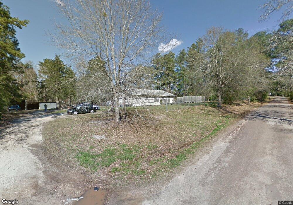
760 Mccarty Rd Lufkin, TX 75904
Estimated Value: $180,072 - $260,000
3
Beds
1
Bath
1,500
Sq Ft
$150/Sq Ft
Est. Value
About This Home
This home is located at 760 Mccarty Rd, Lufkin, TX 75904 and is currently estimated at $225,018, approximately $150 per square foot. 760 Mccarty Rd is a home located in Angelina County with nearby schools including Central Elementary School, Central Junior High School, and Central High School.
Ownership History
Date
Name
Owned For
Owner Type
Purchase Details
Closed on
Mar 30, 2005
Sold by
Rodgers John L and Rodgers Kristin C
Bought by
Lopez Daniel
Current Estimated Value
Home Financials for this Owner
Home Financials are based on the most recent Mortgage that was taken out on this home.
Original Mortgage
$69,451
Outstanding Balance
$35,536
Interest Rate
5.75%
Mortgage Type
FHA
Estimated Equity
$189,482
Create a Home Valuation Report for This Property
The Home Valuation Report is an in-depth analysis detailing your home's value as well as a comparison with similar homes in the area
Home Values in the Area
Average Home Value in this Area
Purchase History
| Date | Buyer | Sale Price | Title Company |
|---|---|---|---|
| Lopez Daniel | $69,451 | None Available |
Source: Public Records
Mortgage History
| Date | Status | Borrower | Loan Amount |
|---|---|---|---|
| Open | Lopez Daniel | $69,451 |
Source: Public Records
Tax History Compared to Growth
Tax History
| Year | Tax Paid | Tax Assessment Tax Assessment Total Assessment is a certain percentage of the fair market value that is determined by local assessors to be the total taxable value of land and additions on the property. | Land | Improvement |
|---|---|---|---|---|
| 2025 | $2,372 | $157,580 | $68,140 | $89,440 |
| 2024 | $2,295 | $155,300 | $68,140 | $87,160 |
| 2023 | $2,177 | $153,790 | $68,140 | $85,650 |
| 2022 | $2,276 | $142,120 | $68,140 | $73,980 |
| 2021 | $2,297 | $136,050 | $68,140 | $67,910 |
| 2020 | $1,792 | $96,610 | $35,280 | $61,330 |
| 2019 | $1,882 | $96,610 | $35,280 | $61,330 |
| 2018 | $1,420 | $94,500 | $35,280 | $59,220 |
| 2017 | $1,420 | $88,960 | $31,440 | $57,520 |
| 2016 | $1,734 | $87,960 | $31,440 | $56,520 |
| 2015 | $1,386 | $87,960 | $31,440 | $56,520 |
| 2014 | $1,386 | $84,080 | $31,440 | $52,640 |
Source: Public Records
Map
Nearby Homes
- 176 Lancewood Cir
- Derek RD None
- 151 Lancewood Cir
- 0 Ben Dunn Rd
- PID 29607 Ben Dunn Rd
- PID 29607 Ben Dunn Rd
- 321 Gordon Way
- PID 36982 Ben Dunn Rd
- 5740 Hwy 103e
- Lot 1A Welch Hill Top Rd
- Lot 1D Welch Hill Top Rd
- 339 Liles Ln
- 1159 Blackburn Switch Rd
- TBD James Oates Rd
- PID 36982 Hwy 103w
- Lot 2 Bethlehem Rd
- 10155 Fm 2021
- 3202 Bethlehem Rd
- 743 Mccarty Rd
- 775 Mccarty Rd
- 796 Mccarty Rd
- 840 Mccarty Rd
- 130 Landrum Rd
- 137 Landrum Rd
- 137 Landrum Rd
- 624 Mccarty Rd
- R29606 Landrum Rd
- 213 Landrum Rd
- 840 Mccarty Rd
- 919 Mccarty Rd
- 548 Mccarty Rd
- 301 Landrum Rd
- 539 Mccarty Rd
- 510 Mccarty Rd
- 0 County Road 48a
- 0 Mccarty Rd
- 164 Landrum Rd
- 473 Mccarty Rd